Centralize field data, GIS layers, and live feeds into one operational view to reduce decision latency.
Automate anomaly detection and alert triage from imagery, maps, and sensors—humans stay in command.
Enable scheduled and on-demand missions from fixed drone stations for zero-gap monitoring and faster response.
Structured incident handling with evidence logging, escalation, approvals, and audit-ready reporting.
At HelloGeo, we embrace the future of technology by accommodating a diverse range of cutting-edge tools and devices, including UAVs, underwater drones, robotics, artificial intelligence, and machine learning, all within a unified platform. This convergence of capabilities empowers industries to harness the full potential of their data, ushering in a new era of innovation and efficiency.
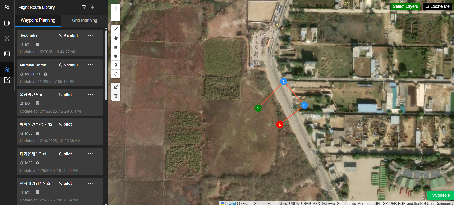
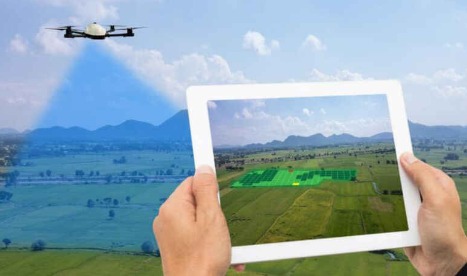
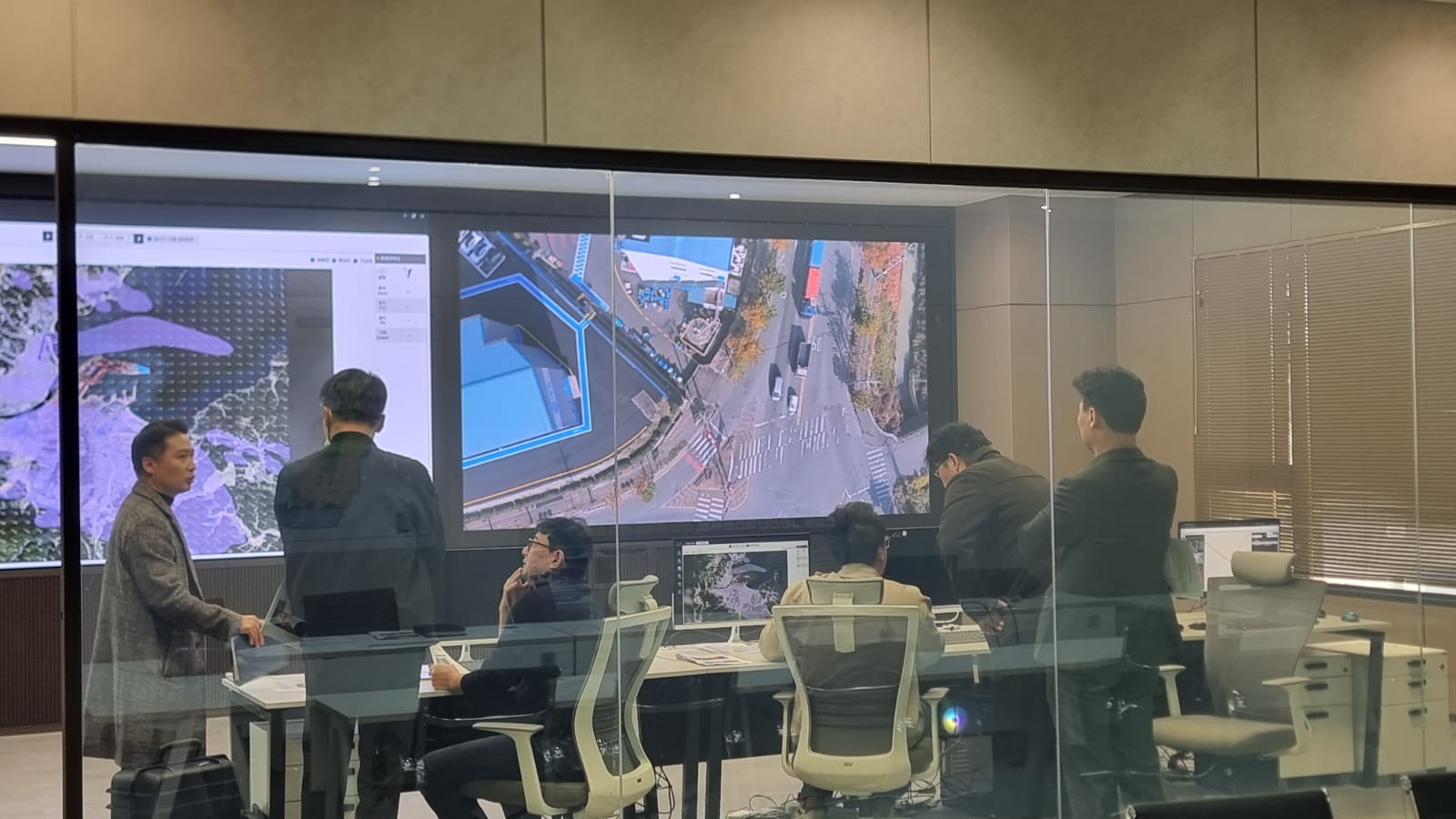
Advanced mapping, spatial analysis, and real-time geospatial insights for smarter planning and faster decisions.
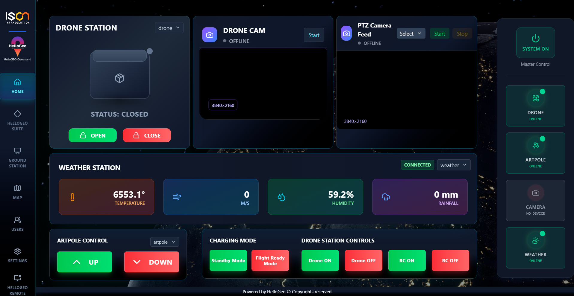
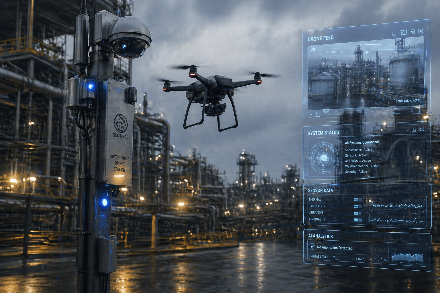
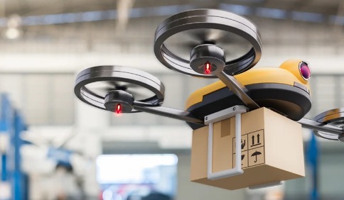
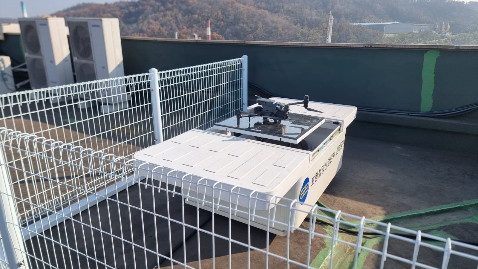
Intelligent air, ground, and marine systems powered by AI for surveillance, monitoring, and automated operations.


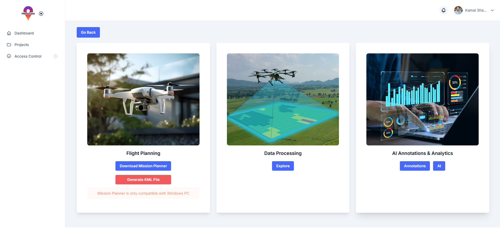
Discover our comprehensive suite of services and products designed to drive innovation and growth

HelloGeo delivers geospatial and AI-driven solutions across defence, government, infrastructure, energy, urban planning, and disaster management—helping organizations operate with clarity, precision, and confidence

We provide end-to-end geospatial intelligence, AI analytics, autonomous system integration, and decision-support services, designed to move seamlessly from planning to real-world deployment.

HelloGeo products are mission-ready platforms combining GIS, AI, and automation—built to deliver secure, scalable, and actionable intelligence in complex operational environments.
To empower organizations worldwide with cutting-edge geospatial intelligence solutions, driven by innovation and guided by the principles of security, accessibility, and compatibility. Our mission is to harness the potential of geospatial data, seamlessly integrating it with advanced technologies, and providing cloud-agnostic solutions in alignment with government regulations. Through our unified platform, we aim to facilitate informed decision-making and drive advancements in various industries

"Insights and experiences shared by industry leaders, government agencies, and infrastructure operators who trust HelloGeo for precision, reliability, and operational excellence."

"Insights and experiences shared by industry leaders, government agencies, and infrastructure operators who trust HelloGeo for precision, reliability, and operational excellence."

"Reflections on collaboration, deployment, and long-term value realized through HelloGeo’s technology, support, and domain expertise."

Simply reach out through our contact form or schedule a free consultation. We’ll discuss your needs, goals, and suggest the best solution.
