
About The Project
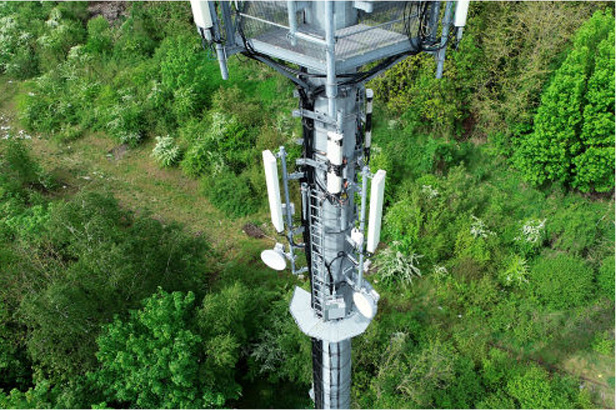
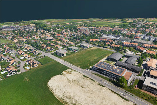
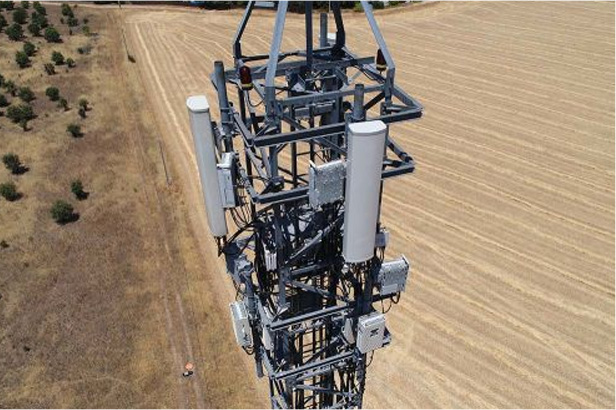
UAVs were employed for Aerial videography, Photogrammetry, and Topographical sheet creation in the NCRTC project for the PanipatKarnal RRTS Corridor of 32 kms, an extension of Delhi-Panipat RRTS. These data-driven processes were vital for the Comprehensive Feasibility Study and DPR Preparation.
Scope of Work
The scope of work involves conducting Aerial Videography utilizing Unmanned Aerial Vehicles (UAVs or drones) and generating Orthophoto maps and Topographical sheets through Aerial Photogrammetry. Additionally, it includes conducting Differential Global Positioning System (DGPS) surveys and Utilizing existing topographic sheets.
Findings
Vector Data- For Geometric Information
Raster Data- Raw data Captured
Point Cloud- For 3D Ground Information
Technology Used
Image Capturing:
Phantom 4 pro Drone
Data Processing:
1. HelloGeo,
2. Auto CAD
3. Arc GIS
Benefits
- Accurate Data: Aerial videography and photogrammetry provide Highly Accurate Geospatial Data, ensuring precise planning and design for the RRTS corridor.
- Environmental Impact: Minimized ground surveys Reduce Disturbance to the Environment and communities along the corridor.
- Safety: Reduced on-ground surveying enhances safety by minimizing risks to surveyors and workers.
Different Techniques and Time Taken By Them
The National Capital Region Transport Corporation (NCRTC) has made substantial progress in transportation infrastructure planning and development through the integration of various technologies over the years. To offer a comprehensive assessment of these methods' effectiveness, a graph has been generated to illustrate the time taken by each technology to complete projects.