O V E R V I E W
This case study explores the multifaceted WCDC Water Conservation Project in Udaipur, across eight regions. It includes UAV drone survey work in eight Pradhan Mantri Krishi Sinchayee Yojna 2.0 projects, totaling 211.74 sq km. The study assesses water resource management effectiveness through Mapping, Drainage Analysis, and Land Use Classification, providing Region-Specific recommendations for Sustainability.
O B J E C T I V E
The primary objective of this case study is to comprehensively assess the WCDC (Watershed Cum Data Centre) Water Conservation Project in Udaipur, focusing on Flow Direction maps and Drainage Density, to gauge its effectiveness and propose sustainable water resource management solutions.
TECHNOLOGY USED
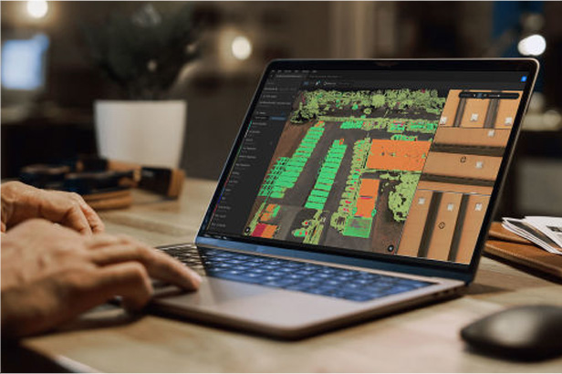
The project initiates with the creation of a KML file, followed by DGPS data acquisition. Fixed-wing drones capture images,
while HelloGeo software processes data, yielding essential outputs, including DEMs, orthophotos, LULC file and flow
analysis (flow accumulation, drainage density, contour) for precise water resource management.
BENEFITS
Effective Resource Management: Enhances water resource allocation.
Environmental Preservation: Supports conservation and sustainability.
Data-Driven Decision: Informs sound land-use planning.
Disaster Resilience: Improves flood control and hazard preparedness.
Accuracy Assurance: DGPS technology ensures precise spatial data positioning
Detailed Topographic Insights: Provides in-depth understanding through precise contour data.
