
Platform PDF / 1.1
Platform combined handbook
One reference across Command Centre, Control Centre and Suite, including hand-offs, operational evidence and governance.
One Operational Picture. Faster, More Confident Decisions.
Open any screen to inspect its complete interface. Find the matching technical guides further down this page.
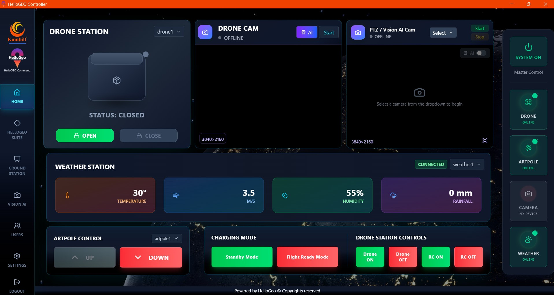
HelloGeo Command Center is a secure, multi-domain operations platform that unifies GIS layers, autonomous assets, live video, sensor feeds, AI alerts, field teams and incident workflows within one command environment.
It enables authorized operators to monitor events across air, ground and water, verify emerging risks, coordinate response assets and maintain an auditable operational record—from detection through resolution.
Explore the published capability areas. Product configuration and deployment scope determine availability.
Remote-command capabilities depend on equipment compatibility, operating permissions and approved procedures.
DJI Dock 2 with Matrice 3D / 3TD; Dock 3 with Matrice 4D / 4TD; Dock 4 with Matrice 5TD and O4 Ground Station.
Receive an alert from a drone, camera, sensor, field team or connected system
Associate the event with its location, asset, history and nearby risks
Review live video, telemetry, imagery and supporting information
Apply the appropriate SOP, severity level and approval workflow
Assign field teams, drones or other supported response assets
Track response actions, mission progress and changing conditions
Record corrective action and verify closure evidence
Generate incident, compliance and after-action documentation
Product content aligned to the HelloGeo official catalogue, reviewed 2026-10-09. Original product catalogue
Connect the reviewed Nexus mission, its saved revision and operational history with the team supervising the site. Integration scope is confirmed for each deployment.
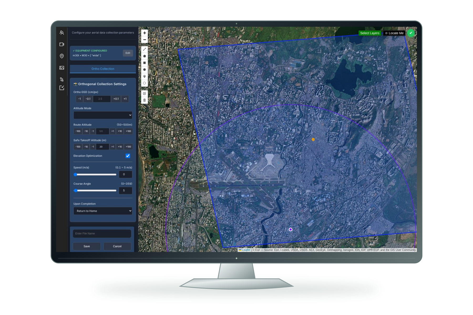
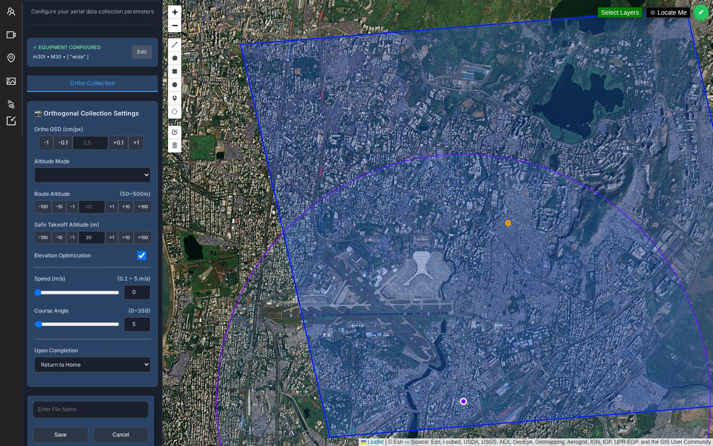
Single-façade, four-sided building and circular waypoint planning, with route parameters kept visible for review.
Explore planningSave, search, edit and reopen plans. Keep revisions, reuse a saved plan and exchange portable planning JSON.
Explore the libraryReview saved copies, reuse history and receipts. Check the mission revision, checksum and aircraft readiness before supported execution.
Explore mission managementYour team knows the site. We know the spatial workflow. Together, we can define a practical way forward.
The new dock configuration joins the Nexus ecosystem with its own Cloud API 2 module.
Dock infrastructure with automated battery swapping.
The aircraft DJI specifies for Dock 4.
Required for Dock 4, with video transmission and RTK functions.
| Dock | Supported aircraft | Nexus connection | Configuration |
|---|---|---|---|
| DJI Dock 2 | Matrice 3D / Matrice 3TD | Dock Cloud API pathway | Existing station and site commissioning |
| DJI Dock 3 | Matrice 4D / Matrice 4TD | Dock Cloud API pathway | Existing station and site commissioning |
| DJI Dock 4 | Matrice 5TD | Dedicated Cloud API 2 module | O4 Ground Station + licensed DJI base |
Dedicated Cloud API 2 configuration and commissioning workflows, with operation, recovery and history adapters. Device capabilities, licensed access and site acceptance govern availability; operational controls remain commissioning-gated.
Match the station, aircraft and firmware. Configure the licensed base, organisation access, power and network, then complete the site acceptance checks.
9 DJI RC profiles and 24 Autel-family profiles remain separate from the 5 dock-aircraft entries. Dock 4 uses a dedicated Cloud API 2 connection.
CAMERA INTELLIGENCE / SEPARATELY CONFIGURABLE
Configure camera event detection, evidence galleries, reports and Train AI separately. Choose an existing-camera licence, a fixed or vehicle camera kit, or a package with Drone Station.