
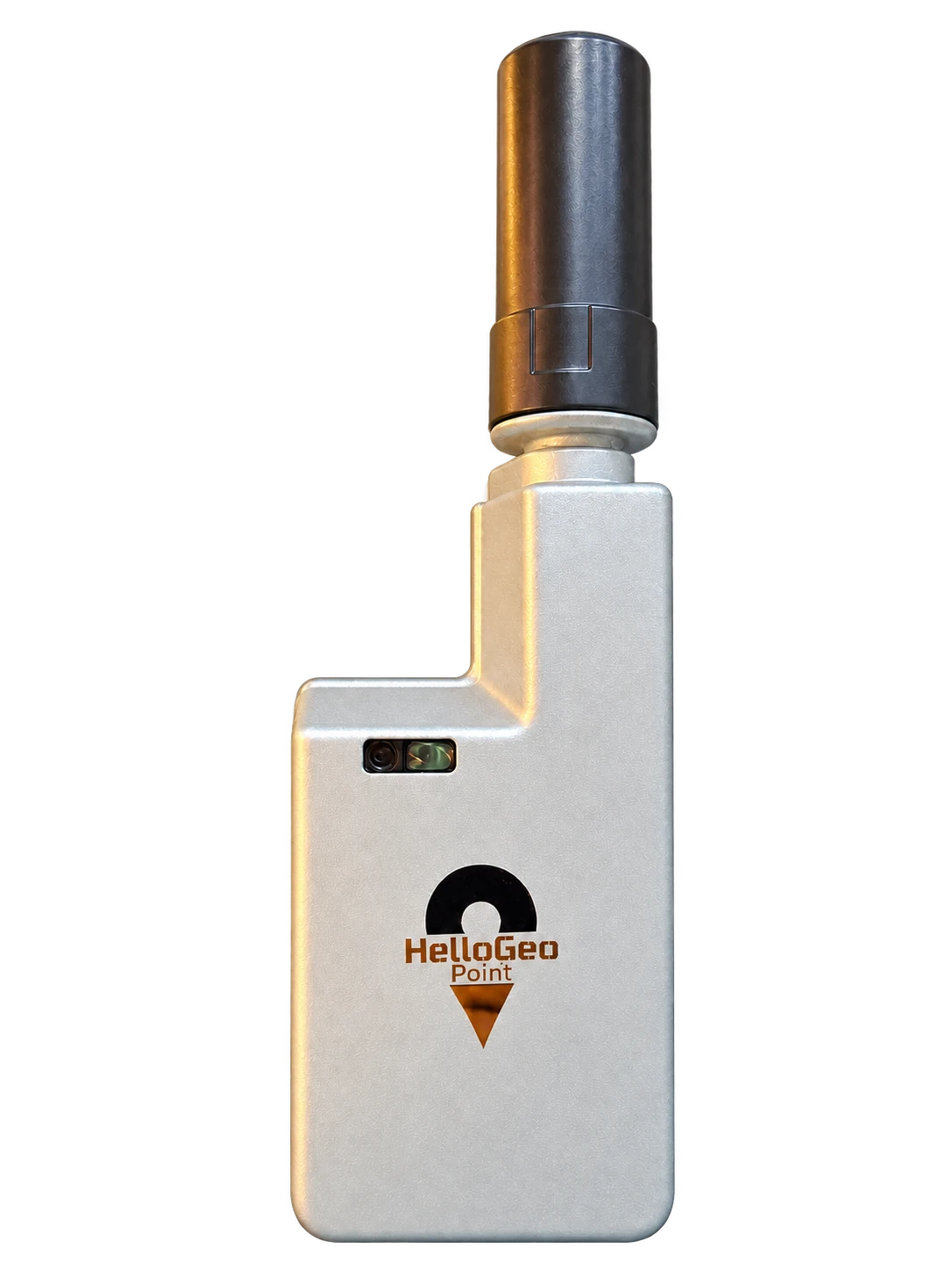
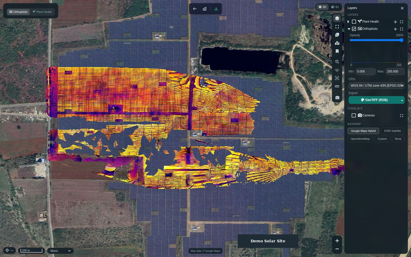
Start with the reference.
Establish a coordinate framework before collecting the rest of the project. Define the datum, correction source and required acceptance evidence. Review field observations in MetaSync before the downstream handoff.
Your solution brief can include
- Ground control point collection
- Coordinate and height reference record
- Field media and export handoff