
Geospatial intelligence & GIS
Spatial data management, mapping, analysis and decision-support workflows.
Explore the product contextGood technology needs a clear path into your operation. We help connect requirements, data, devices and the people who will use the system.
Spatial data management, mapping, analysis and decision-support workflows.
Explore the product contextConnect live operational context, field teams, incident workflows and evidence.
Explore the product contextDefine visualisation, sensor context and scenario exploration around a real project.
Explore the product contextBring hydrographic data, underwater observations and surface operations into a shared view.
Explore the product contextTranslate a defined data or autonomy challenge into an evaluated engineering programme.
Explore the product context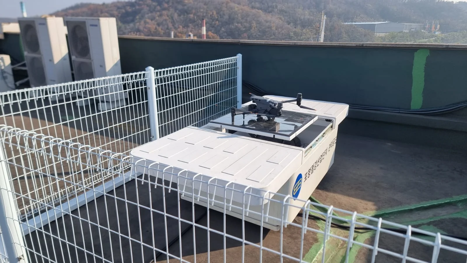
Plan station-based capture, data transfer and review around the infrastructure that needs attention.
Explore the product contextYour team knows the site. We know the spatial workflow. Together, we can define a practical way forward.