
HelloGeo AI-Metaverse Suite
Build, Simulate and Operate Intelligent Digital Twins
What it brings
to the workflow.
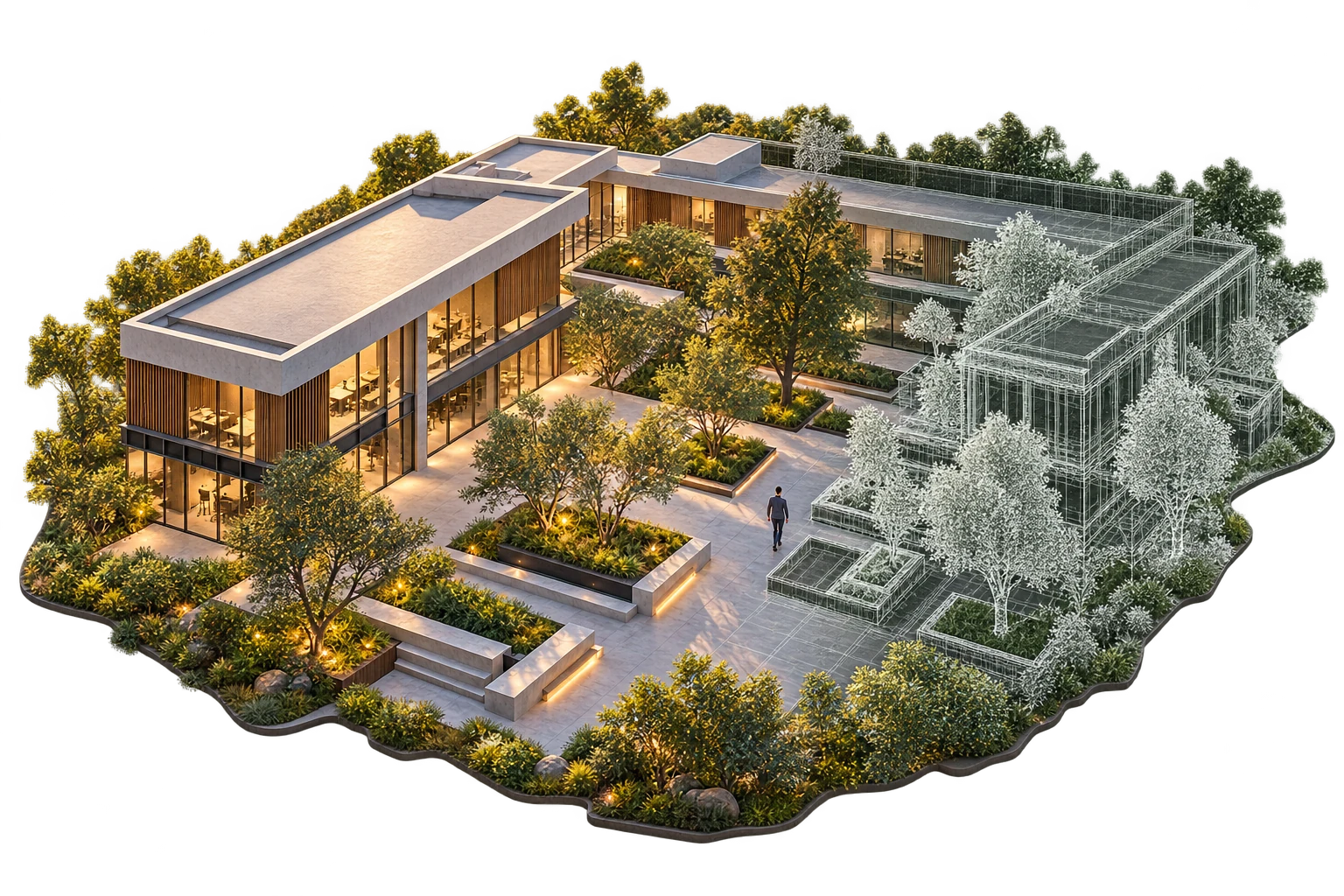
HelloGeo Metaverse Suite is an enterprise spatial computing platform that transforms physical assets, infrastructure and environments into interactive, data-rich digital twins for immersive visualization, simulation and operational decision-making.
Combining GIS, BIM, LiDAR, photogrammetry, IoT, AI and immersive technologies, the platform enables organizations to explore complex environments, simulate scenarios, collaborate across distributed teams and make data-driven decisions within a realistic spatial context.
Go deeper into
the product.
Explore the published capability areas. Product configuration and deployment scope determine availability.
01 Digital Twin Creation
- Create 3D representations of real-world environments
- Integrate GIS, BIM, CAD and engineering models
- Import LiDAR, photogrammetry and point-cloud datasets
- Generate textured terrain and surface models
- Position assets using geographic coordinates
- Maintain real-world scale and spatial relationships
02 Immersive 3D Visualization
- Navigate digital environments freely in 3D
- Switch between aerial, ground and interior perspectives
- Inspect assets from any viewpoint
- Control layer visibility and transparency
- Search assets, locations and coordinates
- Measure distance, height, area and clearance
03 AR, VR & XR Support
- Explore digital twins through VR headsets
- Overlay digital information on physical environments
- Conduct augmented reality inspections
- Enable remote-assisted maintenance
- Visualize proposed infrastructure at full scale
- Support mixed-reality training
04 Live IoT & Sensor Integration
- Connect IoT devices and sensor platforms
- Display real-time asset status in 3D
- Visualize temperature, pressure, vibration data
- Monitor energy and environmental conditions
- Link CCTV and live video feeds
- Review historical sensor trends
05 AI-Assisted Intelligence
- Detect anomalies and changes in 3D environments
- Identify visual and thermal anomalies
- Support asset-condition assessment
- Generate confidence-based observations
- Prioritize areas requiring inspection
- Convert detections into actionable tasks
06 Scenario Simulation
- Model operational and emergency scenarios
- Test alternative infrastructure layouts
- Simulate access and evacuation routes
- Analyse visibility and line-of-sight
- Evaluate proposed asset placement
- Compare "what-if" scenarios
07 Multi-User Collaboration
- Enable multiple users in one environment
- Conduct virtual site reviews
- Share annotations and observations
- Create project-specific collaboration rooms
- Present designs and planned changes
- Record meeting outcomes and decisions
08 Virtual Inspection
- Inspect remote assets in 3D context
- Navigate inaccessible areas virtually
- Review high-resolution imagery
- Compare current and previous conditions
- Add georeferenced inspection markers
- Generate inspection reports
09 Time-Series Visualization
- Review changes over time
- Compare construction stages
- Visualize historical survey datasets
- Replay incidents and operations
- Track asset-condition changes
- Support planned-versus-actual comparisons
10 Enterprise Integration
- Integration with HelloGeo GIS Suite
- Command Center connectivity
- ERP and EAM system integration
- SCADA and IoT platform connectivity
- BIM and document management
- REST APIs and webhooks
11 Secure & Scalable Deployment
- Role-based access control
- Project and environment-level security
- Encrypted data communication
- Cloud, private-cloud and on-premise options
- Hybrid and isolated-network deployment
- Sovereign hosting for sensitive environments
From capability
to useful work.
How It Works
- Capture
Collect spatial data using drones, LiDAR, cameras, BIM and GIS sources
- Build
Create terrain, 3D models and accurate environments
- Connect
Link assets, sensors, documents and operational systems
- Configure
Add interactions, dashboards, workflows and permissions
- Simulate
Create operational, maintenance and emergency scenarios
- Collaborate
Bring teams and stakeholders into one shared environment
- Operate
Monitor live conditions and coordinate actions
- Improve
Update the digital twin as the physical environment changes
Applications
- City-scale digital twins
- Urban master-plan visualization
- Traffic and mobility simulation
- Public-infrastructure monitoring
- Emergency-route planning
- Citizen engagement experiences
- Visualize projects before construction
- BIM and GIS coordination
- Construction-progress monitoring
- Virtual site inspections
- Design-conflict visualization
- Digital project handover
- Plant and facility digital twins
- Remote asset inspections
- Maintenance planning
- Operational-status visualization
- Safety and evacuation simulation
- Facility-change planning
- Solar and wind-farm twins
- Power-plant visualization
- Transmission network context
- Asset-condition monitoring
- Sensor and SCADA visualization
- Emergency-response planning
- Airport, railway and highway twins
- Station and terminal visualization
- Passenger-flow assessment
- Corridor and route planning
- Emergency and evacuation simulations
- Operational training
- Mine and quarry digital twins
- Pit, bench and haul-road visualization
- Equipment mapping
- Safety training
- Environmental rehabilitation planning
- Remote stakeholder review
- Port and harbour digital twins
- Berth and terminal visualization
- Vessel and cargo-area planning
- Inspection and maintenance workflows
- Coastal-risk visualization
- Emergency-response training
- Terrain and facility familiarization
- Mission rehearsal
- Critical-asset digital twins
- Perimeter and access-route analysis
- Multi-domain operational visualization
- Secure remote collaboration
- Virtual laboratories and field sites
- Interactive geospatial learning
- Equipment-operation training
- Infrastructure and engineering education
- Hazard-free practical exercises
- Remote collaborative classrooms
Product content aligned to the HelloGeo official catalogue, reviewed 2026-10-09. Original product catalogue
Bring us the challenge.
Let’s build the connection.
Your team knows the site. We know the spatial workflow. Together, we can define a practical way forward.