
A planned observation workflow and a clearer hand-off.
HELLOGEO / SOLUTION EXPLORER
Start with your world. See what connects.
Choose an environment, follow the workflow and build your connected solution.
Or build your own ecosystem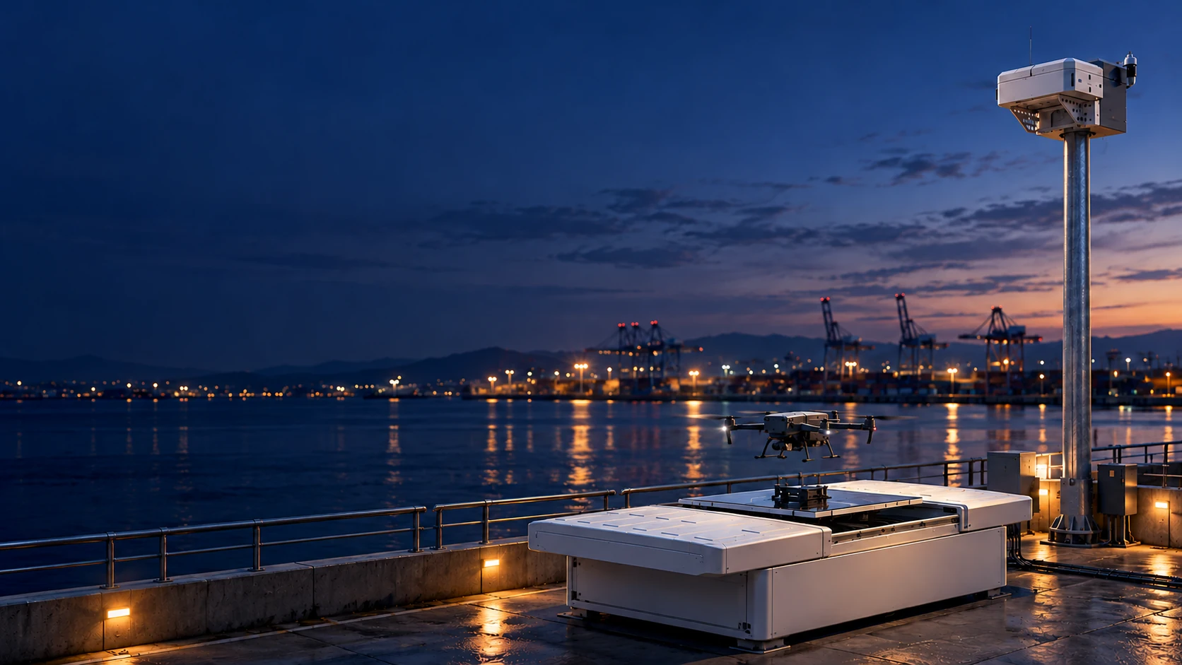
Energy & utilitiesSee the change.
See the change.
Before the next visit.
Bring scheduled capture, inspection media and mapped asset context into an energy inspection programme.
Explore this combinationFollow the journey from a question to a reviewed result.
STEP 01 / PROPOSED WORKFLOW
Plan around the asset
Define observation areas, aircraft and payload requirements, mission cadence and the review team.
Route plans · asset contextSTEP 02 / PROPOSED WORKFLOW
Capture useful evidence
Collect representative visual and thermal observations with the qualified aircraft and supported payload.
Inspection media · mission recordSTEP 03 / PROPOSED WORKFLOW
Review what needs attention
Use geospatial context and configured analysis to support the team reviewing changes or candidate findings.
Mapped observations · review queueSTEP 04 / PROPOSED WORKFLOW
Make the next action clear
Keep the finding, evidence and responsible team together for the next site conversation.
Evidence package · follow-up scopeLocation-linked evidence to support repeat review.
A defined basis for measuring visit cost and review time.
A STARTING COMBINATIONYour solution.
Your solution.
Layer by layer.
Explore the products, then shape a deployment around your data, site and team.
Infrastructure & railOne corridor.
One corridor.
A continuous story.
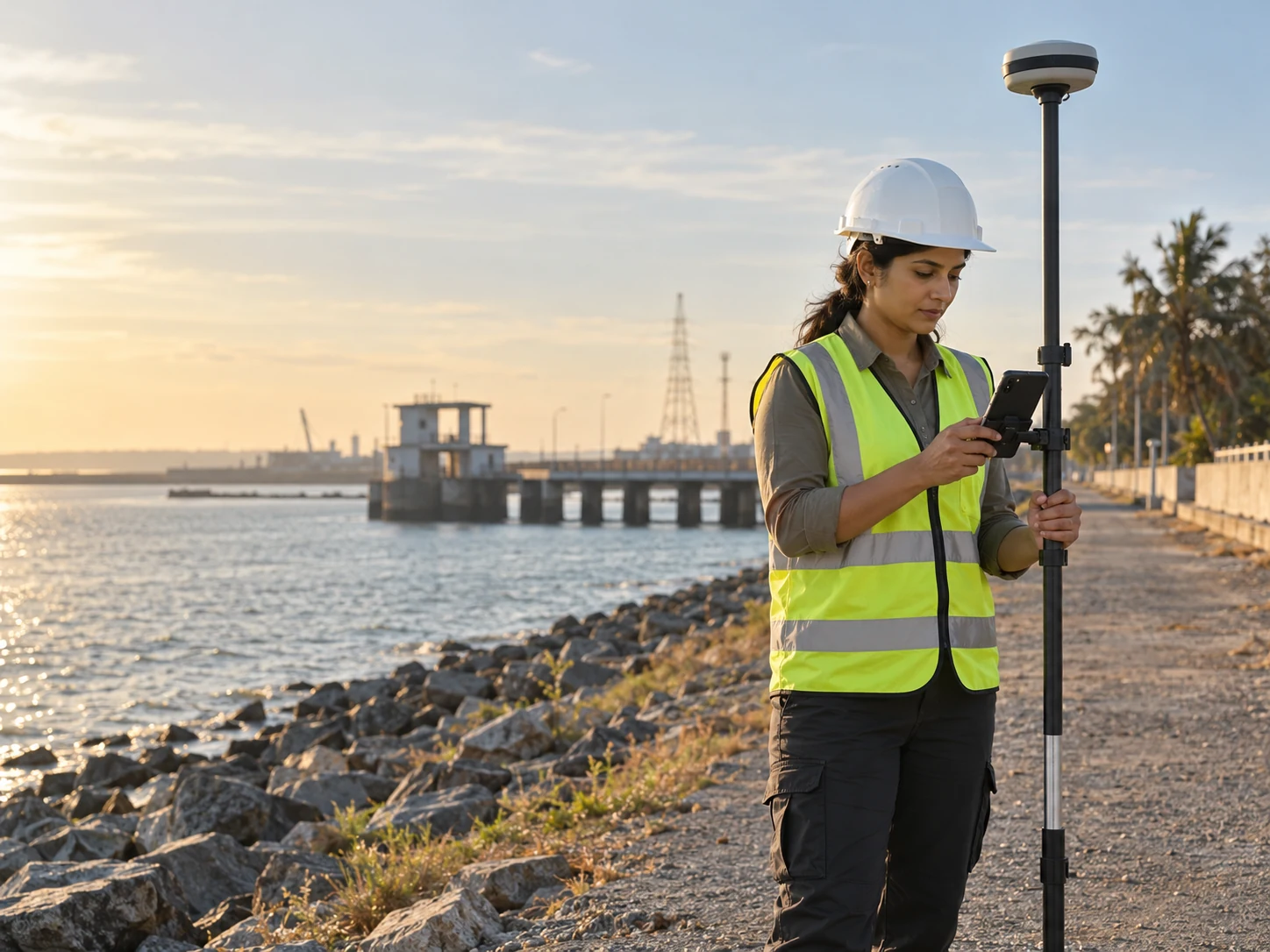
Connect field points, aerial survey context and geographic records across infrastructure, construction and rail programmes.
Explore this combinationFollow the journey from a question to a reviewed result.
STEP 01 / PROPOSED WORKFLOW
Define the corridor
Agree route limits, coordinate reference, survey outputs and access requirements.
Survey area · coordinate referenceSTEP 02 / PROPOSED WORKFLOW
Capture ground context
Collect field points and geotagged observations through Point and MetaSync workflows.
GCP collections · field mediaSTEP 03 / PROPOSED WORKFLOW
Connect the aerial view
Plan the required drone survey and relate imagery to the project’s geographic context.
Mission plan · survey evidenceSTEP 04 / PROPOSED WORKFLOW
Hand over with clarity
Review layers, observations and the agreed outputs with the project team.
GIS layers · project hand-offField records with location and supporting context.
A common geographic frame for observations.
A practical way to evaluate rework and repeat visits.
A STARTING COMBINATIONYour solution.
Your solution.
Layer by layer.
Explore the products, then shape a deployment around your data, site and team.

Mining & industrialNew terrain.
New terrain.
The same shared picture.
Bring terrain products, survey observations and site-change context into one evaluated industrial workflow.
Explore this combinationFollow the journey from a question to a reviewed result.
STEP 01 / PROPOSED WORKFLOW
Scope the measurement
Define boundaries, reference data and the information needed for site review.
Study area · output requirementsSTEP 02 / PROPOSED WORKFLOW
Collect the source data
Plan aerial observations and the ground reference required by the agreed survey method.
Aerial dataset · reference contextSTEP 03 / PROPOSED WORKFLOW
Build the spatial picture
Evaluate processing and GIS outputs with representative data before relying on production deliverables.
Terrain products · geographic layersSTEP 04 / PROPOSED WORKFLOW
Review the change
Compare the relevant periods and preserve the basis for the team’s interpretation.
Change evidence · review notesA collection plan aligned with the required outputs.
Spatial layers and repeat observations in context.
A defined review trail for a changing environment.
A STARTING COMBINATIONYour solution.
Your solution.
Layer by layer.
Explore the products, then shape a deployment around your data, site and team.

Cities & digital twinsA place to understand.
A place to understand.
A future to explore.
Connect spatial records, visualisation and sensor context around the questions your planning team needs to answer.
Explore this combinationFollow the journey from a question to a reviewed result.
STEP 01 / PROPOSED WORKFLOW
Choose the question
Define what the spatial environment must help explain and who will use it.
Planning question · stakeholdersSTEP 02 / PROPOSED WORKFLOW
Organise the layers
Bring the relevant geographic records and asset context into a defined data structure.
GIS records · asset contextSTEP 03 / PROPOSED WORKFLOW
Explore relationships
Use spatial visualisation and project-specific scenario assumptions to explore a place.
Digital environment · scenario contextSTEP 04 / PROPOSED WORKFLOW
Communicate the outcome
Share the reviewed information with the right audience or connected display workflow.
Reviewed narrative · published contentA spatial environment shaped around a real question.
A visual way to discuss places and relationships.
An agreed route from data updates to shared context.
A STARTING COMBINATIONYour solution.
Your solution.
Layer by layer.
Explore the products, then shape a deployment around your data, site and team.
Ports & marineOne port.
One port.
More perspectives.
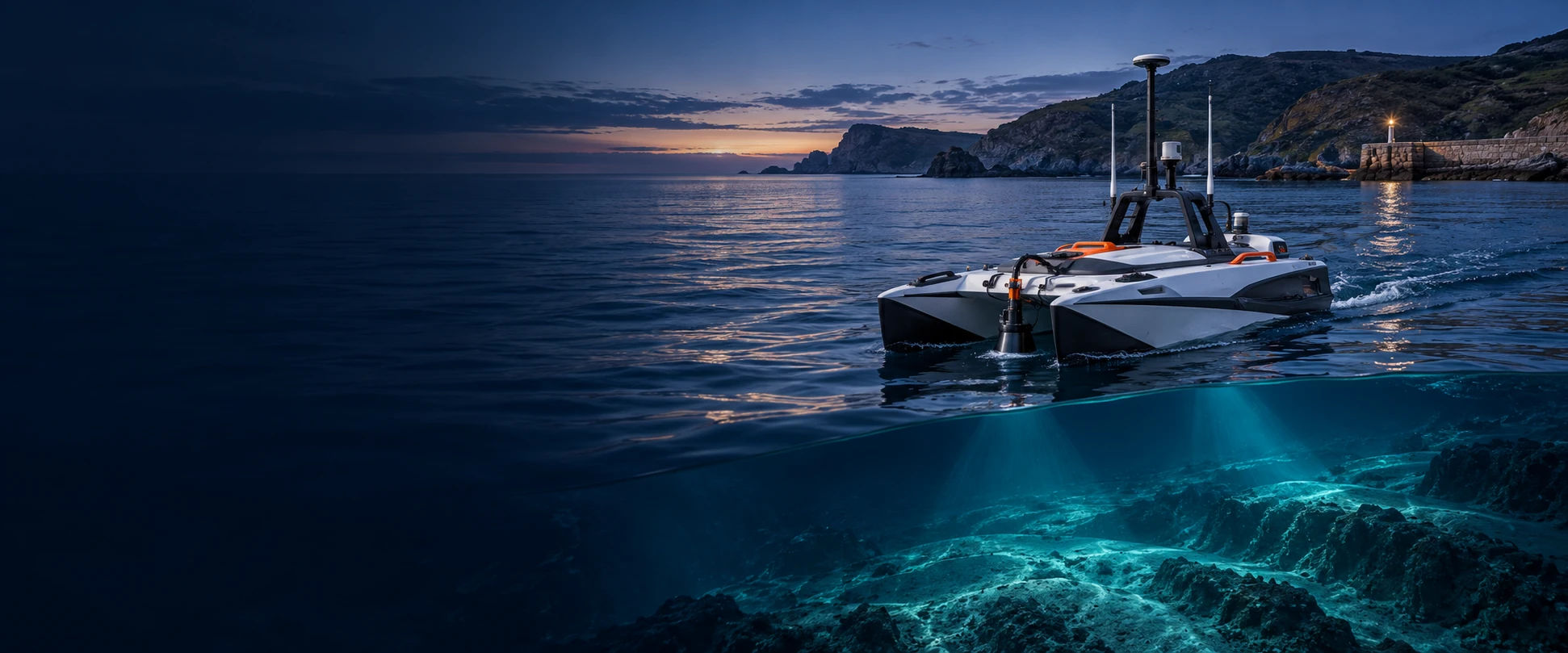
Scope marine observations, aerial context and geographic records around the operational questions of a port or coastal site.
Explore this combinationFollow the journey from a question to a reviewed result.
STEP 01 / PROPOSED WORKFLOW
Map the operational area
Agree the marine environment, assets, access and observation objectives.
Site context · mission scopeSTEP 02 / PROPOSED WORKFLOW
Connect the observations
Define supported marine vehicles, sensors and aerial capture paths for the deployment.
Vehicle-specific evidenceSTEP 03 / PROPOSED WORKFLOW
Relate the layers
Bring the geographic and underwater inspection context into the agreed review workflow.
Marine records · mapped assetsSTEP 04 / PROPOSED WORKFLOW
Review across teams
Build a shared picture for the people responsible for the site and next action.
Spatial review · evidence hand-offA defined approach across different sensing environments.
Aerial and marine context within one project.
A scope that can be evaluated before wider rollout.
A STARTING COMBINATIONYour solution.
Your solution.
Layer by layer.
Explore the products, then shape a deployment around your data, site and team.
Heritage & conservationA lasting place.
A lasting place.
A living record.
Explore the ArtPole heritage catalogue for documentation, condition histories, conservation context and spatial experiences.
Explore this combinationFollow the journey from a question to a reviewed result.
STEP 01 / PROPOSED WORKFLOW
Understand the place
Define the heritage assets, conservation questions and documentation scope.
Asset register · recording planSTEP 02 / PROPOSED WORKFLOW
Document the context
Capture relevant observations, media and spatial reference for the documentation programme.
Field records · spatial referenceSTEP 03 / PROPOSED WORKFLOW
Organise the history
Connect digital records and condition context in the evaluated heritage workflow.
Condition history · digital archiveSTEP 04 / PROPOSED WORKFLOW
Share the story
Shape conservation review and visitor experiences around the recorded material.
Conservation context · spatial experienceA repeatable structure for observations.
A spatial and chronological context for review.
A richer way to understand the recorded place.
A STARTING COMBINATIONYour solution.
Your solution.
Layer by layer.
Explore the products, then shape a deployment around your data, site and team.
Strategic infrastructureComplex sites.
Complex sites.
Clearer awareness.
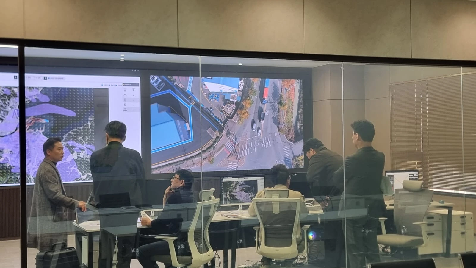
Scope geospatial information, authorised monitoring and reviewed evidence around strategic infrastructure requirements.
Explore this combinationFollow the journey from a question to a reviewed result.
STEP 01 / PROPOSED WORKFLOW
Define responsibilities
Agree authorised users, site boundaries, information needs and operational permissions.
Access scope · responsibilitiesSTEP 02 / PROPOSED WORKFLOW
Connect approved sources
Identify the geographic layers, sensors and mission context included in the project.
Approved data · operational contextSTEP 03 / PROPOSED WORKFLOW
Review with context
Bring observations into a coordinated view with defined review responsibilities.
Situation view · evidence reviewSTEP 04 / PROPOSED WORKFLOW
Keep an accountable record
Preserve the agreed information and hand-off process for the responsible team.
Operational records · follow-up contextA clearer picture of approved information sources.
Location and evidence held in context.
Defined scope, roles and acceptance criteria.
A STARTING COMBINATIONYour solution.
Your solution.
Layer by layer.
Explore the products, then shape a deployment around your data, site and team.
FROM POSSIBILITY TO A PRACTICAL PLAN
A good solution starts with a good question.
Share what you need to see, how often, and the decision your team needs to make.
Discuss your projectIllustrative solution workflows. Product interoperability, data formats and compatibility are agreed for each deployment.
START FROM THE COORDINATE
Survey control. Corridors. Asset records.
Explore how a GPS / GNSS project becomes a connected field-to-decision workflow.
Explore coordinate solutions ↗