
HelloGeo Marine
Intelligence Above, Across and Below the Waterline
What it brings
to the workflow.
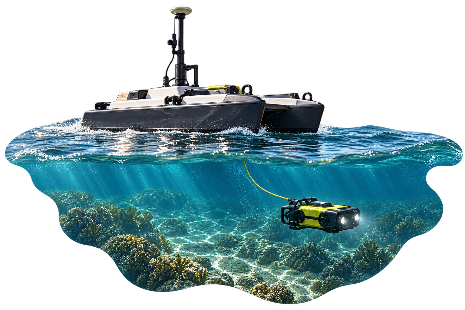
HelloGeo Marine is an integrated maritime intelligence and autonomous-operations platform that connects marine vehicles, aerial drones, underwater systems, hydrographic sensors and spatial data within one secure operational environment.
Plan missions, monitor distributed assets, visualize live marine conditions and transform surface and subsurface data into actionable intelligence for ports, offshore infrastructure, coastal security and environmental management.
Go deeper into
the product.
Explore the published capability areas. Product configuration and deployment scope determine availability.
01 Unified Marine Command
- Manage supported surface, underwater and aerial assets
- Monitor multiple vessels and mission sites
- View position, heading, speed and operational status
- Maintain a common operational picture
- Supervise missions from shore-based control centres
02 Mission Planning and Navigation
- Define routes, waypoints and survey grids
- Establish operational boundaries and exclusion zones
- Plan surface, underwater and aerial missions
- Configure depth, altitude, speed and sensor parameters
- Schedule recurring or on-demand operations
- Save reusable mission templates
03 Live Telemetry and Sensor Monitoring
- Track asset location and mission progress
- Monitor battery, propulsion and communication status
- Access supported video, sonar and payload feeds
- Visualize environmental sensor observations
- Receive alerts for mission or system exceptions
- Record telemetry for later review
04 Hydrographic and Bathymetric Intelligence
- Process supported sonar and depth datasets
- Generate bathymetric surfaces and depth contours
- Create seabed and reservoir terrain models
- Analyse slopes, underwater obstructions and sediment changes
- Compare surveys across different time periods
- Export data to standard GIS and engineering formats
05 Underwater Inspection
- Inspect pipelines, cables, bridge foundations and marine structures
- Record georeferenced images and video
- Identify corrosion, deformation, obstruction and structural damage
- Attach observations to mapped asset locations
- Maintain inspection histories for each asset
- Generate evidence-backed maintenance reports
06 Marine Digital Twins
- Integrate bathymetry, sonar, LiDAR and photogrammetry
- Create 2D and 3D representations of marine environments
- Visualize ports, reservoirs and offshore installations
- Link inspection records with physical assets
- Compare existing conditions with engineering designs
- Support planning, maintenance and operational simulation
07 AI-Assisted Analytics
- Detect supported objects and anomalies
- Identify changes in shorelines, seabeds and marine assets
- Prioritize inspection findings for human validation
- Analyse imagery, thermal data and sensor observations
- Generate confidence-based alerts
- Convert identified issues into trackable actions
08 Environmental Monitoring
- Integrate supported water-quality and weather sensors
- Monitor turbidity, temperature, pH and dissolved oxygen
- Map pollution indicators and discharge locations
- Assess shoreline erosion and sediment movement
- Support coral, mangrove and habitat monitoring
- Maintain repeatable environmental survey records
09 Fleet and Asset Management
- Organize vehicles by project, region or operator
- Monitor asset availability and operating condition
- Track mission hours and utilization
- Maintain service and maintenance histories
- Manage payload and sensor configurations
- Review operational readiness across multiple sites
10 Secure Enterprise Deployment
- Role-based user access and project permissions
- Secure mission records and audit trails
- Cloud, private-cloud and on-premise deployment
- Configurable data-retention policies
- API integration with GIS, command and enterprise systems
- Support for sovereign and sensitive operational environments
From capability
to useful work.
Operational Workflow
- Plan
Define the survey area, route, operating limits and payload requirements
- Deploy
Assign supported surface, underwater and aerial assets
- Monitor
View live telemetry, video, sonar and sensor information
- Process
Convert captured data into maps, models and inspection records
- Analyse
Identify changes, anomalies, risks and maintenance priorities
- Act
Assign actions, share findings and generate auditable reports
Applications
- Berth, quay wall and harbour-basin inspections
- Bathymetric surveys and dredging assessment
- Vessel-movement and restricted-zone monitoring
- Underwater obstruction detection
- Port digital-twin development
- Security and incident documentation
- Offshore platform and foundation inspections
- Subsea pipeline and cable-route monitoring
- Wind-turbine foundation assessment
- Corrosion and structural-condition documentation
- Exclusion-zone surveillance
- Environmental compliance monitoring
- Reservoir bathymetric surveys
- Sedimentation and capacity assessment
- Dam-wall and intake inspections
- Underwater obstruction detection
- Spillway and outlet monitoring
- Water-quality and environmental assessment
- Subsea pipeline inspection
- Communication and power-cable surveys
- Bridge-pier and foundation assessment
- Tunnel, outfall and intake inspection
- Route-clearance verification
- Maintenance-priority mapping
- Shoreline-change and erosion monitoring
- Mangrove and wetland mapping
- Coral-reef and habitat assessment
- Pollution-source identification
- Flood and storm-impact documentation
- Coastal-zone planning
- Port and harbour surveillance
- Underwater threat and obstruction detection
- Perimeter and exclusion-zone monitoring
- Coastal situational awareness
- Uncrewed reconnaissance missions
- Secure evidence and incident management
- Hull and propeller inspections
- Dock and dry-dock surveys
- Underwater damage documentation
- Fouling and corrosion assessment
- Pre-maintenance condition records
- Post-repair verification
- Rapid surface and underwater reconnaissance
- Flooded-area and submerged-object mapping
- Search-area planning
- Live mission coordination
- Hazard and obstruction identification
- Evidence-based response reporting
Product content aligned to the HelloGeo official catalogue, reviewed 2026-10-09. Original product catalogue
Bring us the challenge.
Let’s build the connection.
Your team knows the site. We know the spatial workflow. Together, we can define a practical way forward.