PLATFORMS / ONE CONNECTED ECOSYSTEM

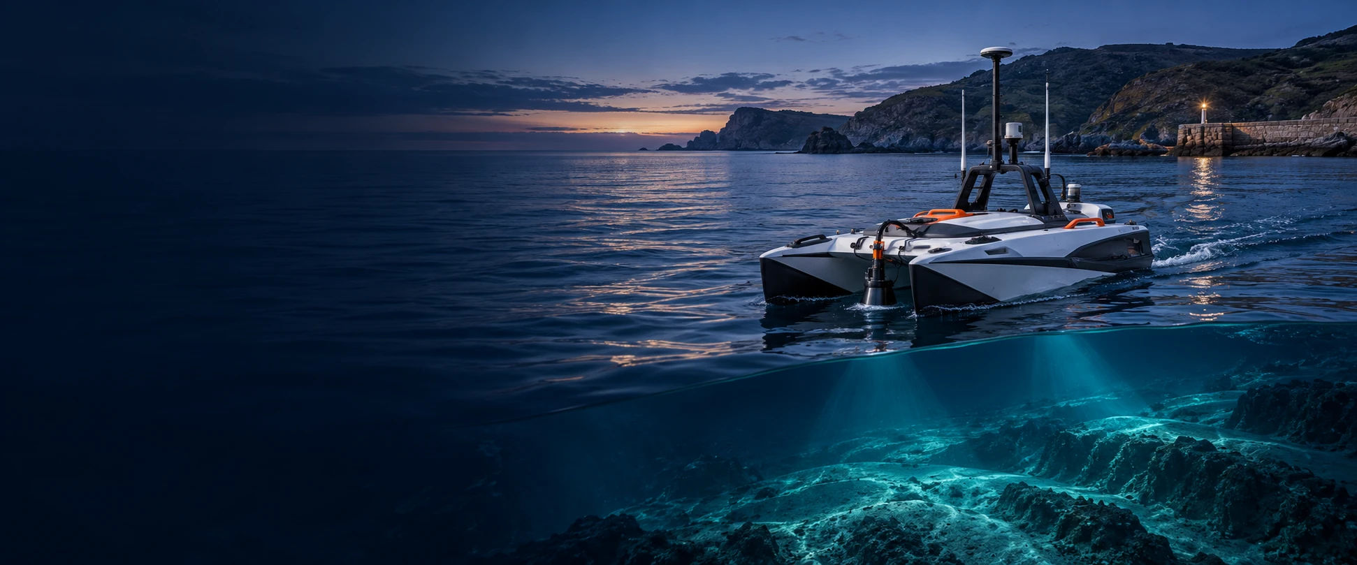
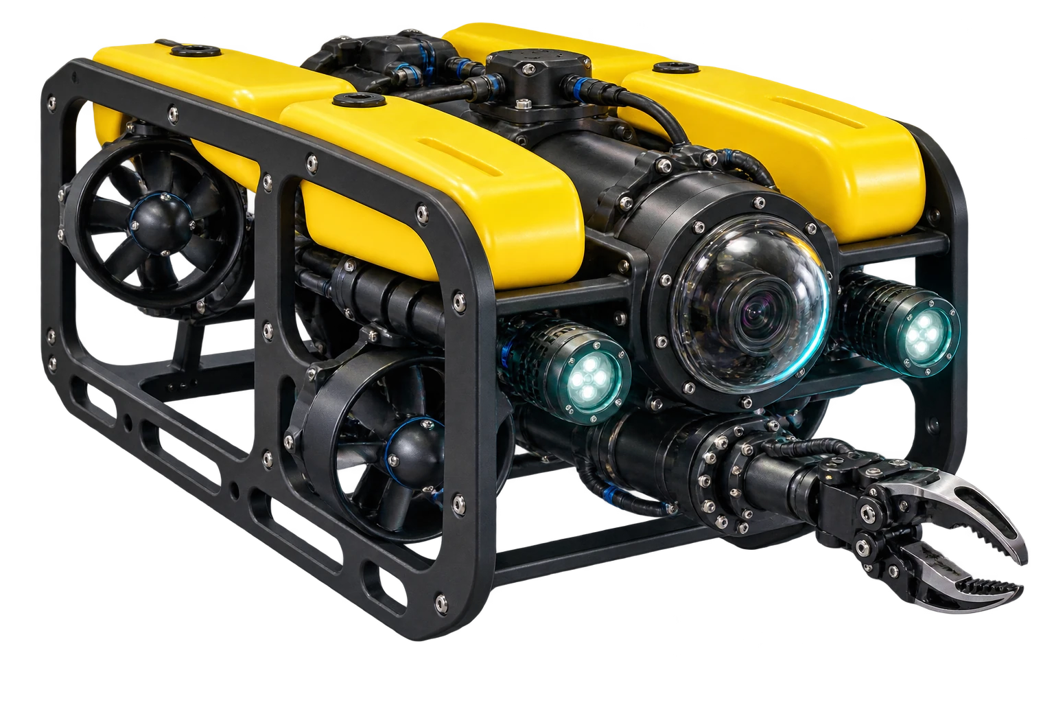
Air. Land. Water. Connected.

Explore aerial, ground and marine platforms in one connected ecosystem.

FOUR DOMAINS. ONE PERSPECTIVE.
  • Air
  • Land
  • Surface
  • Subsea
POINT → METASYNC → SUITE

From survey control
to orthomosaic.

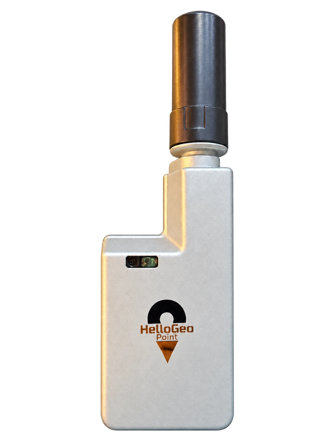
Collect coordinates with Point. Review the collection in MetaSync. Bring control and overlapping imagery into Suite, then check the result against independent survey points.

  1. Capture
  2. Connect
  3. Process
  4. Validate
Explore Point → Ortho Interactive demonstration with sample data.
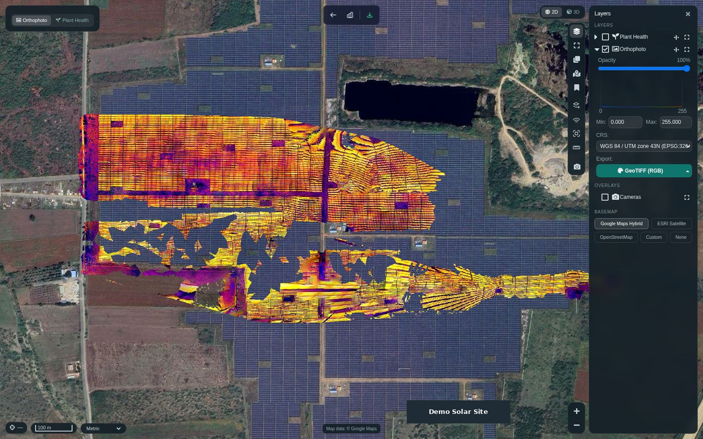
Recorded HelloGeo Suite interface reviewing a solar-site orthophotoHelloGeo Point receiver, photo-derived cutout
AIR / LAND / SURFACE / BELOW

One world.
More ways to understand it.

The vehicle changes. The need for location, evidence and a clear decision stays. Explore the appropriate pathway for your operation.

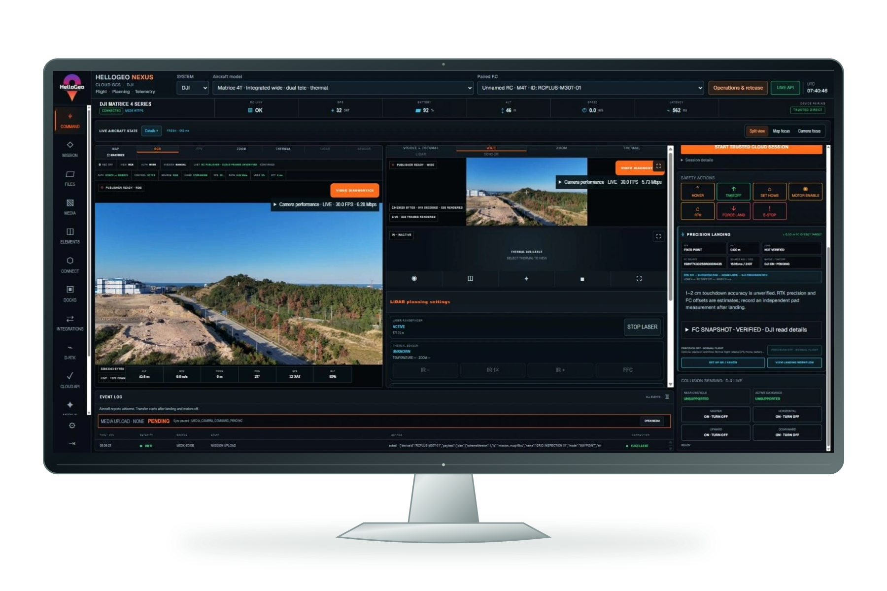
Nexus mission interface displayed on a freestanding monitor
01 / AIR

A new perspective on the same place.

Plan the route. Capture the evidence. Bring it back to the map.

  • Nexus mission planning
  • DJI / Autel controller pathways
  • Terrain, media and mission context
Published aircraft profiles; operational capability depends on the qualified aircraft, controller and payload.
PLATFORM EXPLORER

The right path for your aircraft.

9 DJI RC profiles. 24 Autel-family profiles. Separate Dock and open-autopilot workflows.

NEXUS + VECTOR DJI

DJI enterprise, with a dedicated Dock pathway.

Plan routes, review aircraft context and pass missions through the compatible controller workflow. Dock 2, Dock 3 and Dock 4 are listed separately from the nine RC profiles.

DJI RC catalogue

Nine aircraft profiles for the NEXUS mission workspace.

  • Matrice 30
  • Matrice 30T
  • Matrice 300 RTK
  • Matrice 350 RTK
  • Mavic 3 Enterprise
  • Mavic 3 Thermal
  • Matrice 4E
  • Matrice 4T
  • Matrice 400

Dock 2

Separate Cloud API aircraft pathway.

  • Matrice 3D
  • Matrice 3TD

Dock 3

Separate Cloud API aircraft pathway.

  • Matrice 4D
  • Matrice 4TD

Dock 4

Matrice 5TD with O4 Ground Station and a licensed DJI base. Nexus includes Cloud API 2 configuration, commissioning, operation and recovery workflows. Controls remain gated by the supported device and site acceptance.

  • Matrice 5TD
View Nexus configuration ↗

Dock workspaces include camera/thermal, weather/RTK, power and HMS monitoring. Advanced Dock scope remains partial and requires site commissioning.

NEXUS + VECTOR AUTEL

One catalogue. Platform-specific integration.

Explore EVO II V2/V3 and enterprise families. Mission geometry, payload choices and controller handoff are checked against the selected aircraft profile.

EVO II V2

Seven V2 catalogue profiles with platform-specific controller integration.

  • EVO II Pro V2
  • EVO II Pro RTK V2
  • EVO II Pro Enterprise V2
  • EVO II Dual 640T V2
  • EVO II Dual 640T RTK V2
  • EVO II Dual 640T Enterprise V2
  • EVO II 8K V2

EVO II V3

Six V3 catalogue profiles; verify the exact controller and payload configuration.

  • EVO II Pro V3
  • EVO II Pro RTK V3
  • EVO II Pro Enterprise V3
  • EVO II Dual 640T V3
  • EVO II Dual 640T RTK V3
  • EVO II Dual 640T Enterprise V3

Enterprise

Nine observed profile labels. Autel lists the EVO III Series publicly; the exact EVO III Enterprise and Titan catalogue labels still require manufacturer confirmation. A profile label does not confirm compatibility for every configuration.

  • EVO Max 4T
  • EVO Max 4N
  • EVO Max 4T Pro
  • EVO Lite 6K Enterprise
  • EVO Lite 640T Enterprise
  • Autel Alpha
  • Autel Titan
  • EVO III
  • EVO III Enterprise

These 22 multirotor profiles and the two Dragonfish VTOL profiles form the 24-profile Autel-family catalogue. Catalogue presence is distinct from native flight qualification.

NEXUS + VECTOR AUTEL

Extend planning across longer survey areas.

Waypoint and grid planning bring camera footprint, overlap and JSON/GeoJSON mission geometry into a dedicated VTOL workflow.

Dragonfish VTOL catalogue

Two long-area survey planning profiles.

  • DragonFish Standard
  • DragonFish Pro

Validate the VTOL mission

Controller-specific mission conversion, transition behaviour, turns and wind limits need validation on the selected platform.

Use the exact Dragonfish aircraft, controller, payload and firmware combination for acceptance.

Source catalogue names are DragonFish Standard and DragonFish Pro. The listed planning profiles are not an all-configuration flight certification.

HELLOGEO FLIGHT

Open autopilot workflows, through Flight.

For compatible Pixhawk flight-controller hardware running ArduPilot or PX4, MAVLink provides the communication pathway. HelloGeo Flight is the published Android ground-control application in this ecosystem.

Hardware

Pixhawk is a flight-controller hardware family. Choose a board supported by the required firmware and vehicle configuration.

Firmware + protocol

ArduPilot or PX4 runs the vehicle. MAVLink carries the supported telemetry and mission exchange.

HelloGeo Flight

Mission, geofence and rally planning; vehicle setup, telemetry, diagnostics, flight logs and geotagging.

Technical references: PX4 / PixhawkArduPilot hardwareMAVLink

Flight is the MAVLink GCS pathway; VECTOR is the DJI/Autel controller layer. No universal Pixhawk board, vehicle, firmware or payload qualification is implied.

Validate your configuration. Exact aircraft, controller, firmware, payload and SDK deployment checks govern operational use. RC catalogue observations: 7 October 2026. Mission workflow and Dock scope reviewed: 17 October 2026.

CONNECTED WITH NEXUS

Your aircraft. Your mission workflow.

Explore the planning tools and saved mission workflow in Nexus, then check the exact aircraft, controller, firmware and payload configuration.

01 / NEXUS

Structure planning

Single-façade, four-sided building and circular waypoint planning, with route parameters kept visible for review.

Explore planning
02 / NEXUS

Mission library

Save, search, edit and reopen plans. Keep revisions, reuse a saved plan and exchange portable planning JSON.

Explore the library
03 / NEXUS

Mission management

Review saved copies, reuse history and receipts. Check the mission revision, checksum and aircraft readiness before supported execution.

Explore mission management
THE WORKSPACE, AS CAPTURED

Real interfaces.
More context.

AIRCRAFT. ROBOTS. REAL POSSIBILITIES.

Choose your platform.
Connect your world.

Explore aircraft, controllers and robotics. Find the model and build the right workflow around it.

Explore aircraft & robotics ↗
DJI Matrice 4 aircraft

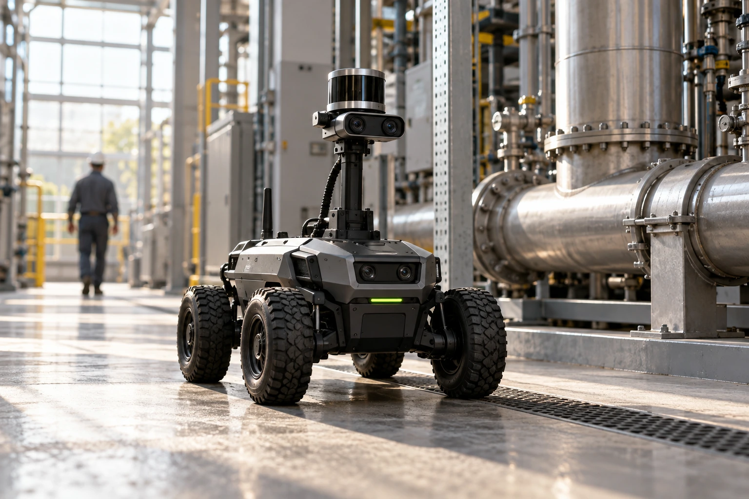
UAV · UGV · USV · UUV

AI VISION / CAMERA INTELLIGENCE

Every camera.
A new perspective.

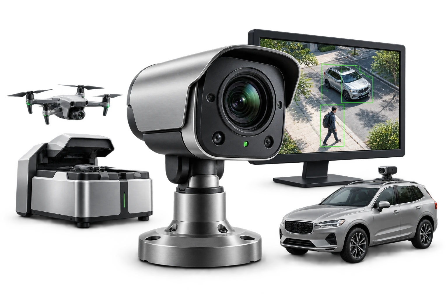
Bring detection, evidence and operator review to the camera you need. Start with an existing feed, place an independent camera at your site, or take the concept onto a parked vehicle.

7 detection featuresEvidence & reportsTrain AI workflow
Illustrative AI Vision camera intelligence with an independent camera, detection screen, vehicle camera and drone station

HELLOGEO SUITE / FROM DATA TO DECISIONS

Drone. LiDAR.
Satellite.
One workspace.

Process RGB, multispectral, thermal, LiDAR and satellite data in HelloGeo Suite. Connect oblique and video-frame mapping with AI-assisted classification, volume calculations and GIS delivery; assess hyperspectral datasets for the configured integration.

MicaSense · Parrot Sequoia · Sentinel-2 · prepared sensor datasets · project qualification

HelloGeo Suite captured analysis interface showing a georeferenced solar-site layer, map controls and GeoTIFF export
Original HelloGeo Suite interface · map layers and analysis view.View full image ↗
  1. 01 / SOURCEBring the observations.
  2. 02 / PROCESSCreate spatial layers.
  3. 03 / REVIEWCheck the evidence.
  4. 04 / DELIVERShare maps & reports.