
Ground control points
Define inputs, access requirements and acceptance criteria with the HelloGeo team before operational deployment.
Precision starts where you stand.
Portable RTK GNSS hardware for the place your project begins. Connect field points with MetaSync and the wider geospatial workflow.
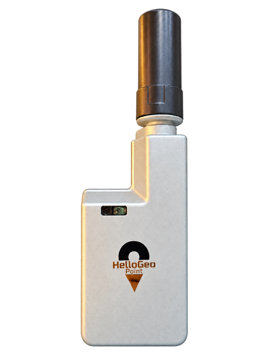
Put precision at the start of every project. Portable RTK GNSS hardware connects field observations with the wider HelloGeo ecosystem.
Collect coordinates with Point. Review the collection in MetaSync. Bring control and overlapping imagery into Suite, then check the result against independent survey points.
Explore the published capability areas. Product configuration and deployment scope determine availability.
Collect survey control and field points with a compatible RTK correction workflow.
A compact capture layer for mapping, construction, utilities and infrastructure teams.
Connect the receiver with MetaSync for organised points, media and field-to-cloud workflows.
Define inputs, access requirements and acceptance criteria with the HelloGeo team before operational deployment.
Define inputs, access requirements and acceptance criteria with the HelloGeo team before operational deployment.
Define inputs, access requirements and acceptance criteria with the HelloGeo team before operational deployment.
Start with a field observation. Add its position and collection context before sharing it with the project team.
INTERACTIVE CONCEPT · ILLUSTRATIVE DATA
Your team knows the site. We know the spatial workflow. Together, we can define a practical way forward.