
Energy / scenario study
Give every inspection a next step.
A solar-site scenario, from repeatable missions to engineering review.

A hotspot is an observation. What happens next?
A thermal image only becomes useful when the operations team can locate the asset, check the evidence and decide whether a visit is needed. Repeat inspections also need consistent routes and capture conditions.
- The decision
- Which observations deserve an engineering review?
- The evidence
- Location, capture time, payload context and reviewed imagery.
- The constraint
- Weather, aircraft compatibility, thermal-capture conditions and operating permissions.
A proposed sequence
From an observation to a reviewed decision.
The scope, integration points and acceptance criteria are agreed with your team before deployment.
- 01
Prepare
Define a site boundary, inspection route and safe operating window in Nexus.
- 02
Capture
Use qualified aircraft and payloads. Where commissioned, a drone station can support repeat missions.
- 03
Review
Place thermal observations against mapped assets; use AI findings as review candidates.
- 04
Act
Assign a verified issue to its owner and retain the evidence with the operational record.
Measure the work around the flight.
Compare a representative inspection cycle before and after the pilot. Include mobilization, capture, analyst review and revisits—not just airborne minutes.
Explore an illustrative estimate- Time to reviewed finding
- Capture-to-review elapsed time
- Inspection effort
- Field and analyst hours per cycle
- Decision quality
- Verified findings and repeat visits
Corridor & survey / scenario study
Keep the route. Keep the reference.
A corridor-survey scenario with field control and a traceable hand-off.
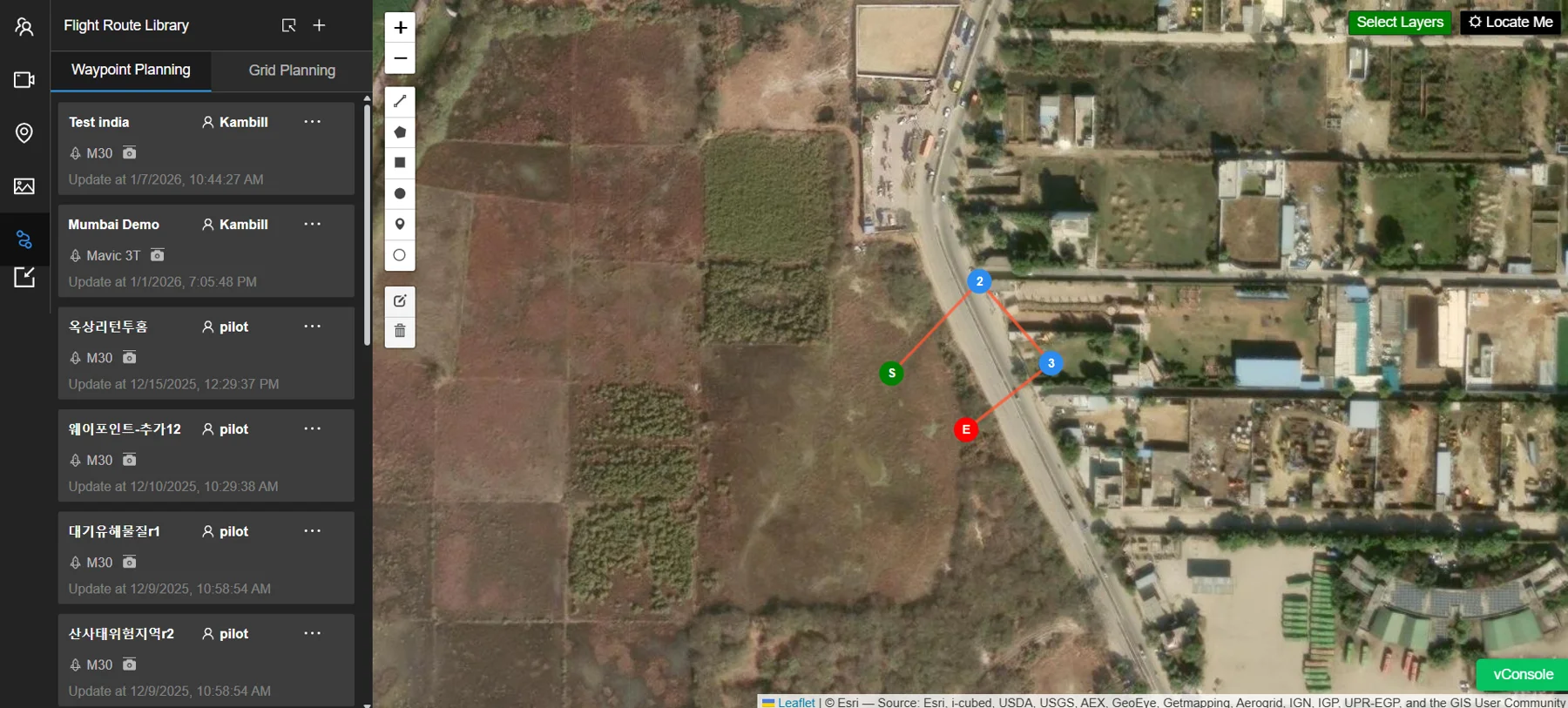
A long corridor can create a fragmented record.
Several teams may collect imagery, field points and asset notes on different days. The review becomes harder when coordinate references, quality indicators and project identities do not travel with the data.
- The decision
- Where has the corridor changed, and which sections need a closer look?
- The evidence
- Survey control, dated imagery and coordinate-linked observations.
- The constraint
- Datum, terrain coverage, access, battery planning and capture consistency.
A proposed sequence
From an observation to a reviewed decision.
The scope, integration points and acceptance criteria are agreed with your team before deployment.
- 01
Reference
Record field points and supporting observations with Point and MetaSync, preserving correction and quality context.
- 02
Plan
Review corridor geometry, terrain datasets and sortie boundaries in Nexus.
- 03
Collect
Capture approved sections using the qualified aircraft configuration and agreed survey method.
- 04
Compare
Organize accepted outputs in GIS Suite for mapped review and change assessment.
Value a complete, usable hand-off.
Evaluate one representative corridor section. Include field time, processing, quality review and rework in both alternatives. Agree accuracy and acceptance criteria before the pilot.
Explore an illustrative estimate- Accepted coverage
- Survey length accepted per cycle
- Rework
- Revisits caused by missing or unusable data
- Delivery effort
- Hours from capture to accepted hand-off
Marine / scenario study
Read the asset above and below.
A coastal-review scenario connecting surface and underwater evidence.
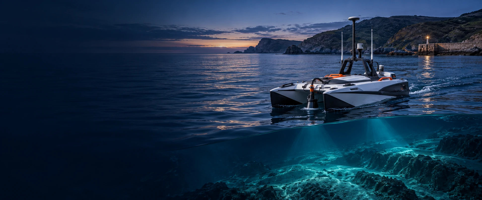
One structure. Several ways to inspect it.
Aerial images, vessel observations and underwater records can describe the same asset in different ways. Teams need a shared location reference and a clear distinction between measured evidence and contextual models.
- The decision
- Which observations require a closer inspection or maintenance review?
- The evidence
- Georeferenced images, survey surfaces and asset-linked findings.
- The constraint
- Sensor compatibility, positioning, water conditions and site access.
A proposed sequence
From an observation to a reviewed decision.
The scope, integration points and acceptance criteria are agreed with your team before deployment.
- 01
Scope
Define the structures, survey areas and asset identifiers with the inspection team.
- 02
Capture
Use supported aerial, surface or underwater systems suited to the inspection method.
- 03
Contextualize
Bring accepted bathymetric, imagery and inspection records into the marine and GIS workspace.
- 04
Review
Compare dated observations with asset records and assign the next engineering action.
Count coordination as well as capture.
A pilot should measure vessel and field effort, specialist review and the cost of revisiting an unclear finding. A visual model alone does not establish structural condition.
Explore an illustrative estimate- Field effort
- Vessel and inspection-team hours
- Evidence completeness
- Findings linked to the correct asset
- Review turnaround
- Time to a reviewed inspection record
Warehouse / scenario study
Make the hand-off visible.
A warehouse scenario connecting operational exceptions with their next owner.
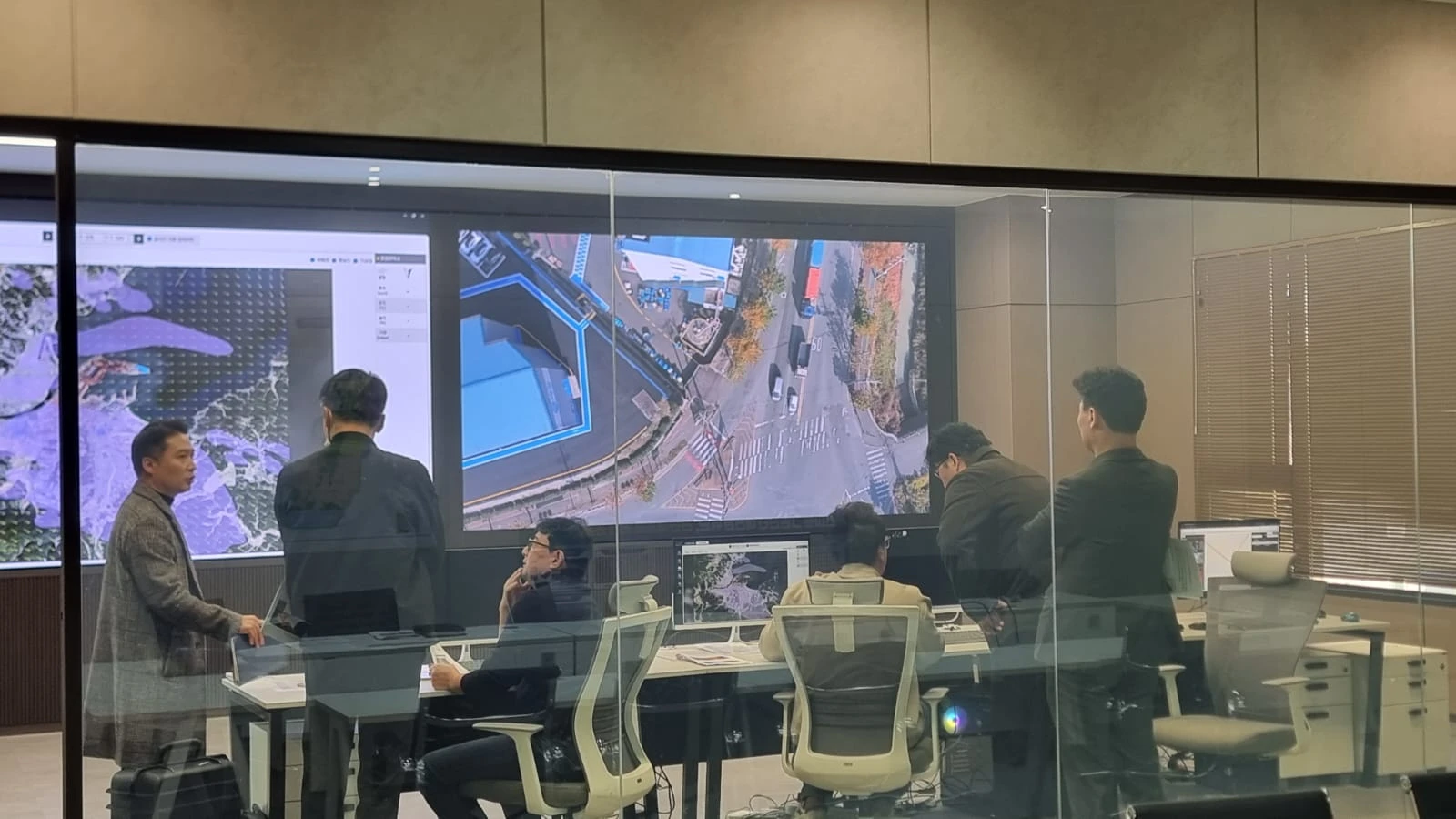
An exception should not disappear between shifts.
Warehouse teams coordinate inventory, logistics and people across several hand-offs. A useful workflow makes ownership and status visible without adding another disconnected record.
- The decision
- Who needs to resolve the exception before the next hand-off?
- The evidence
- The relevant operational record, its status and its assigned owner.
- The constraint
- Existing systems, data ownership, user permissions and integration scope.
A proposed sequence
From an observation to a reviewed decision.
The scope, integration points and acceptance criteria are agreed with your team before deployment.
- 01
Map
Agree the receiving-to-dispatch process, exception types and responsible roles.
- 02
Configure
Evaluate the relevant WAREGRID ONE warehouse, logistics and workforce workflows.
- 03
Connect
Scope any operational-monitoring link to Command Center. Use Connect separately for managed display content.
- 04
Review
Check exception ownership, audit records and shift hand-offs in a representative pilot.
Start with one repeatable process.
Measure a single hand-off before expanding the scope. Include data entry, reconciliation, follow-up and system-integration effort. Cross-product integration must be agreed and validated for the deployment.
Explore an illustrative estimate- Resolution time
- Exception opened to accountable closure
- Administrative effort
- Manual entry and reconciliation hours
- Handoff quality
- Unassigned or reopened exceptions
Start with one site. One question.
Build the evidence.
Then build the rollout.
Bring an operational challenge, a representative dataset and the people who will use the result. We can shape a practical pilot together.
Discuss a pilot