
Satellite ingestion
GeoTIFF, JPEG2000 and Sentinel-2 SAFE / JP2 inputs with band mapping.
True-colour layers · Retained spectral bandsTransform Raw Geospatial Data into Actionable Intelligence
COMPANION WORKFLOW / FULL SUITE
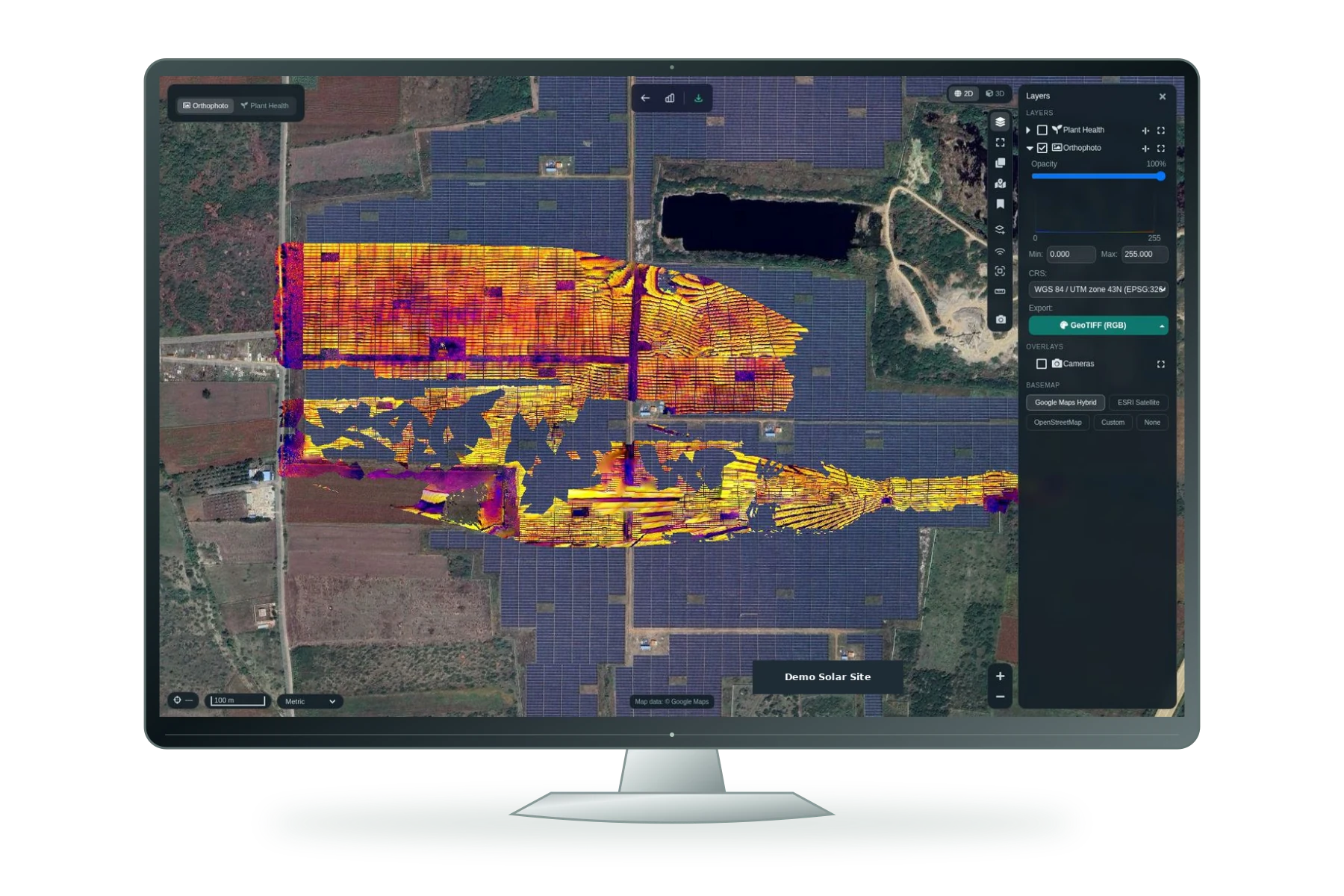
Move from supplied imagery and point clouds to spatial evidence. Explore spectral indices, land cover, terrain, building footprints and change—then deliver the layers your project needs.
Illustrative workflow · supply and validate your project datasets.
GeoTIFF / JP2 / Sentinel-2 SAFE · LAS / LAZ · aerial imagery
GeoTIFF, JPEG2000 and Sentinel-2 SAFE / JP2 inputs with band mapping.
True-colour layers · Retained spectral bands35 spectral index formulas; availability depends on supplied bands.
NDVI / NDRE / EVI / SAVI · NDWI / MNDWI / NDMI · NDBI / NBR / NDSIVegetation, water, bare ground, built-up and indicative wetland proximity layers, with quality checks.
Land-cover layers · Class areas and CSV statisticsVisual, elevation and flood comparisons, with additional index/transition processing interfaces.
Change layers · Flood-extent reviewProcess suitable drone imagery into mapping and 3D outputs.
Orthophoto · DSM / DTM · Georeferenced point clouds · Textured 3D-model reviewLAS/LAZ inputs, ground classification, terrain profiles and point-cloud review.
DSM / DTM / EPT · Profiles and terrain layersExtract, clean and regularise footprint geometry from suitable point-cloud inputs.
Building footprint GeoPackageSaved 2D/3D distance, area, height and cut/fill measurements with terrain tools.
Measurement records · Slope / hillshade · Bench / ramp / face layersArea-of-interest review, project access and interoperable outputs.
Raw / colourised GeoTIFF · GeoJSON / Shapefile / GeoPackage · CSV statisticsModern drones, satellites, LiDAR systems and connected sensors generate enormous volumes of spatial data. However, the true operational value of this data is realized only when objects, assets, terrain and anomalies can be accurately identified, classified and converted into decision-ready GIS layers.
HelloGeo AI is an enterprise-grade GeoAI platform that combines artificial intelligence, computer vision and geospatial analytics. It enables organizations to automate object detection, accelerate data annotation, extract critical features and transform complex imagery into reliable intelligence for planning, monitoring and operational decision-making.
Explore the published capability areas. Product configuration and deployment scope determine availability.
UAV, satellite, LiDAR or sensor imagery
Data into projects and datasets
Relevant objects and features
Custom AI model
Model accuracy and quality
Scalable inference pipelines
GIS-native intelligence layers
Spatial tools and dashboards
With GIS, digital twin & command
Human feedback loop
Product content aligned to the HelloGeo official catalogue, reviewed 2026-10-09. Original product catalogue
Your team knows the site. We know the spatial workflow. Together, we can define a practical way forward.
CAMERA INTELLIGENCE / SEPARATELY CONFIGURABLE
Configure camera event detection, evidence galleries, reports and Train AI separately. Choose an existing-camera licence, a fixed or vehicle camera kit, or a package with Drone Station.