
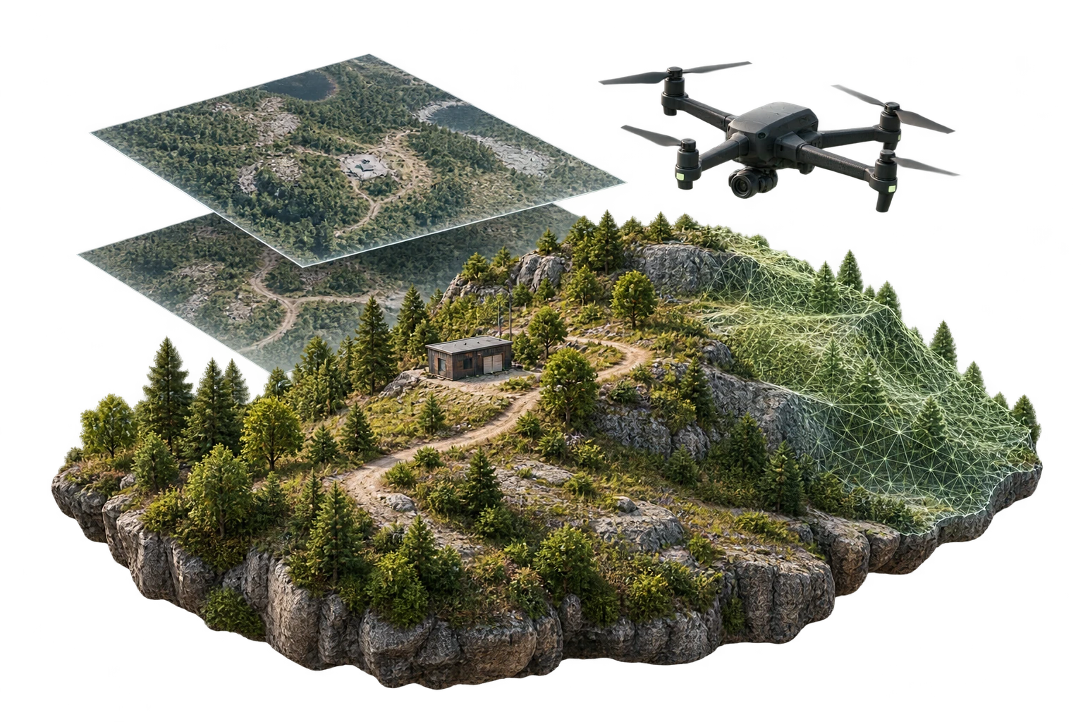
Monthly
For a focused project cycle.
- Image-volume configuration
- AI Annotation option
- Keep Images option · viewer included
Request pricing
Mission intelligence
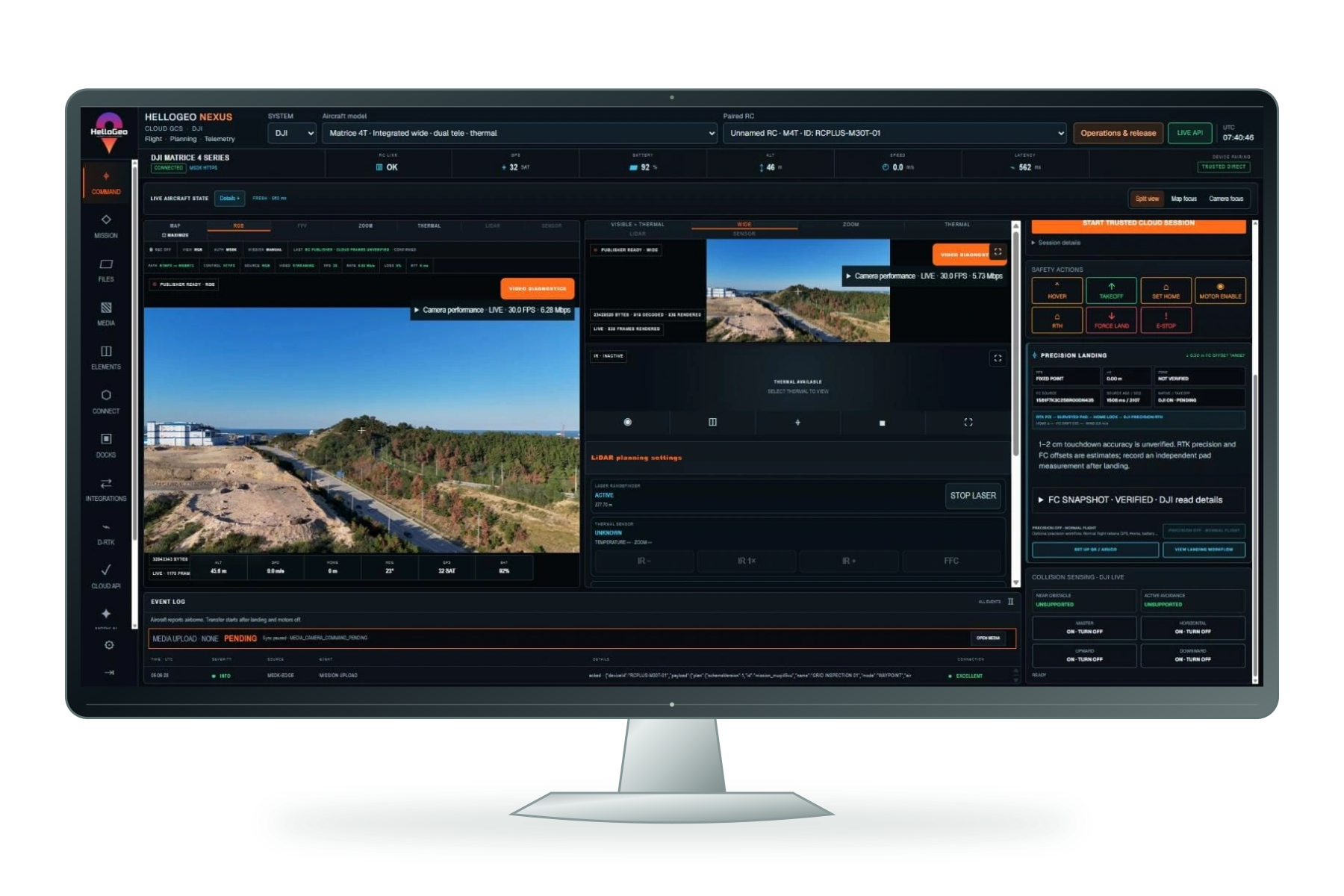
Nexus brings structure planning, reusable mission libraries and operational review into one browser workspace.
Coordinate confidence
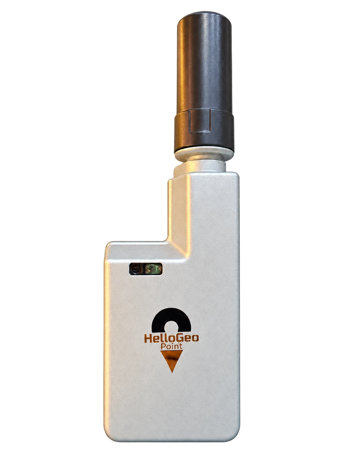
Bring field coordinates, survey control and project context together with Point and MetaSync.
Spatial understanding · Evaluation preview
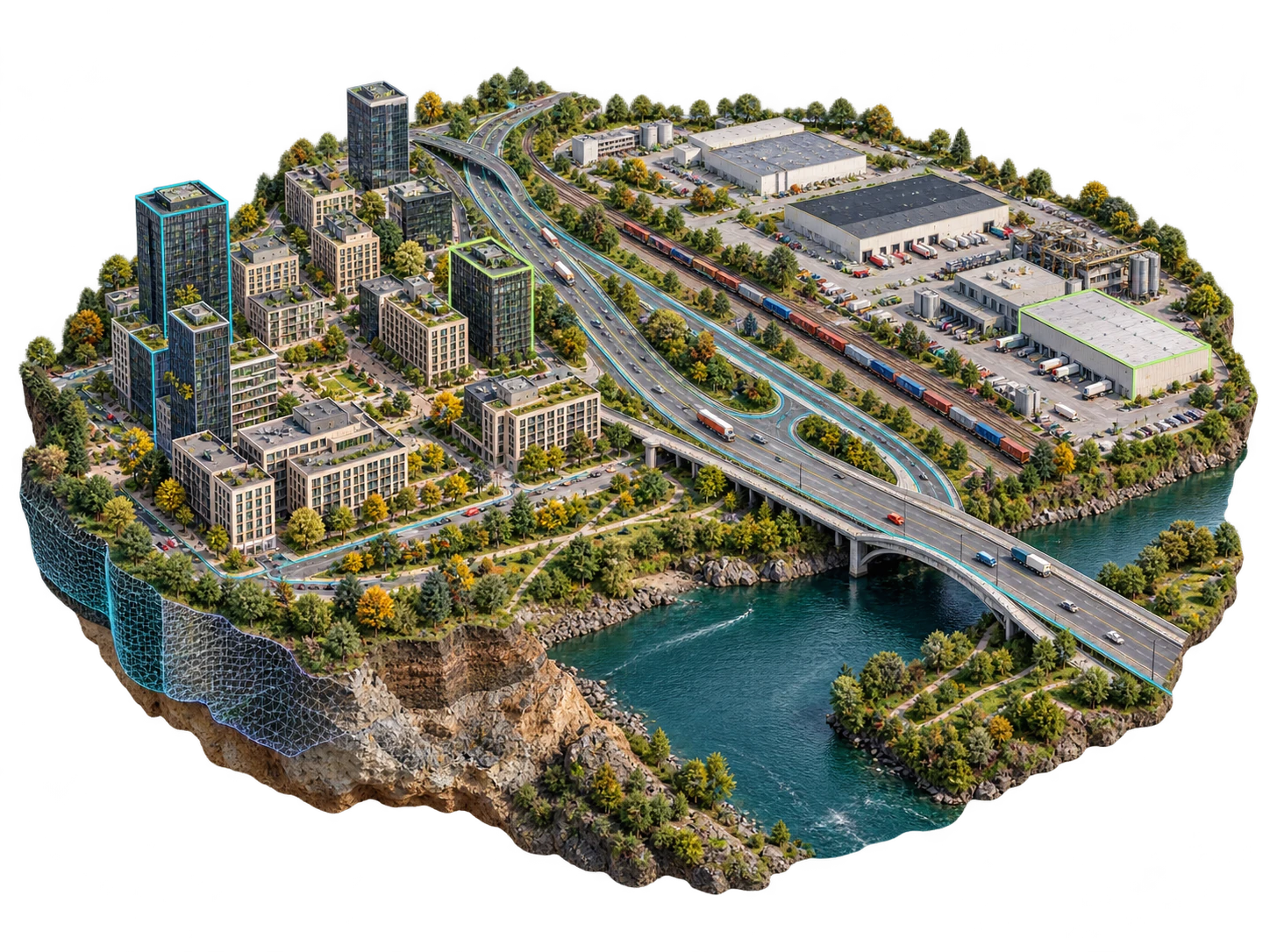
Explore the Continuum evaluation preview for spatial data and digital-twin review. Production release acceptance remains in progress.
01 / SUITE STUDIO
Start with your project horizon. Add the outputs you want. See the products that bring your solution together.
For a focused project cycle.
Request pricing
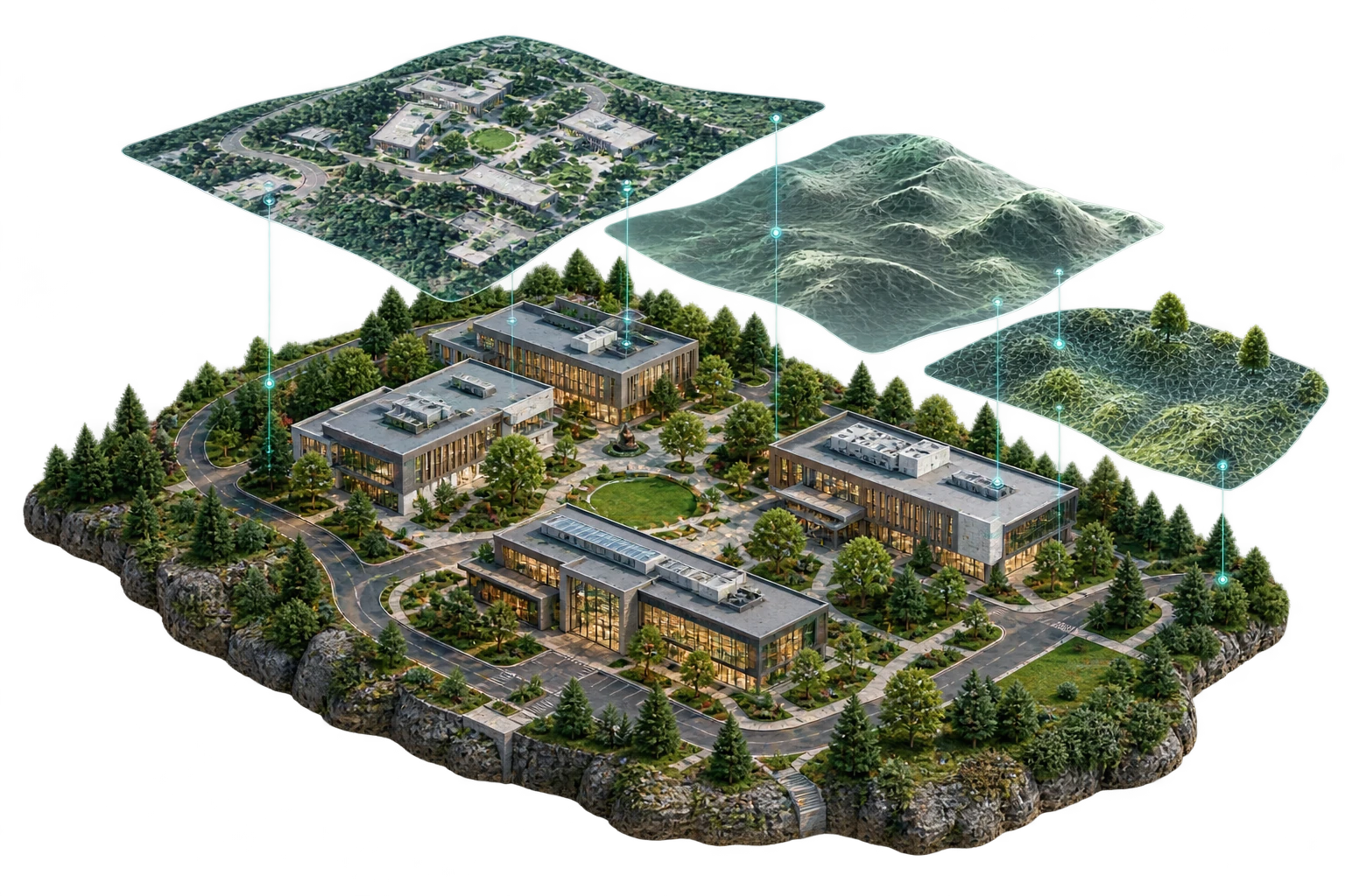
For a programme in motion.
Request pricing
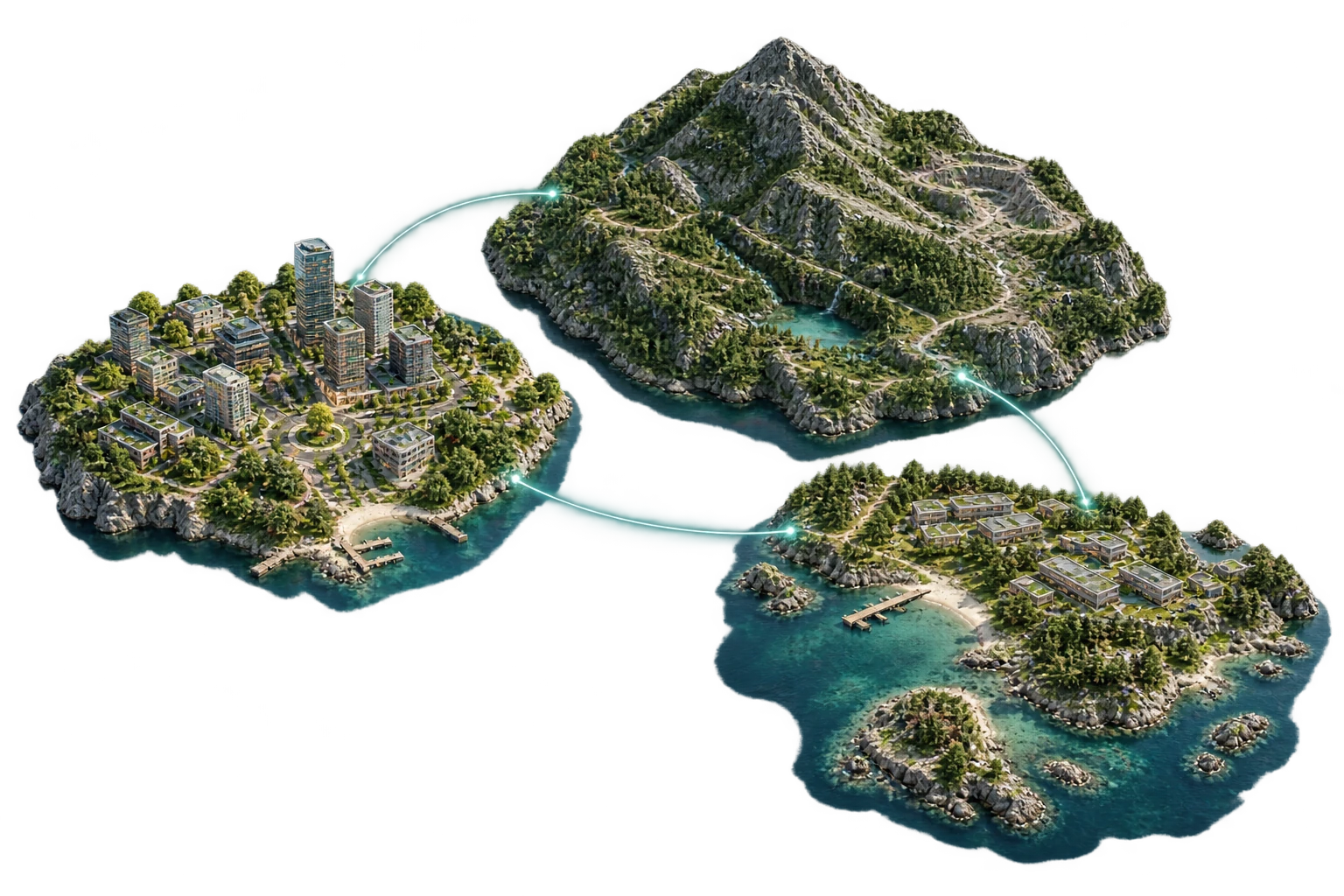
For work that keeps growing.
Request pricing
MAKE THE CONNECTIONS
Pick your capabilities. Relevant products join your solution; you can refine the combination below.
0capabilities selected
Preview your solution ↗Select a capability to reveal its connected products.
Capabilities describe the requested solution scope; they are not included licences or guaranteed outputs. Fusion is in engineering development; reconstruction is subject to production qualification. Removing a capability keeps products for you to review.
Suite plans are scoped to your project. Image volume, AI Annotation and Keep Images are enquiry preferences. Our team confirms availability and pricing with your proposal. The viewer is included.
02 / PURPOSE-BUILT APPLICATIONS
Find your focus in the field. Stay connected to the project.
FIELD / WORKSPACE
Your next connected workflow starts here.
The shop-listed Connect service confirms account access and product scope.
Preview workspace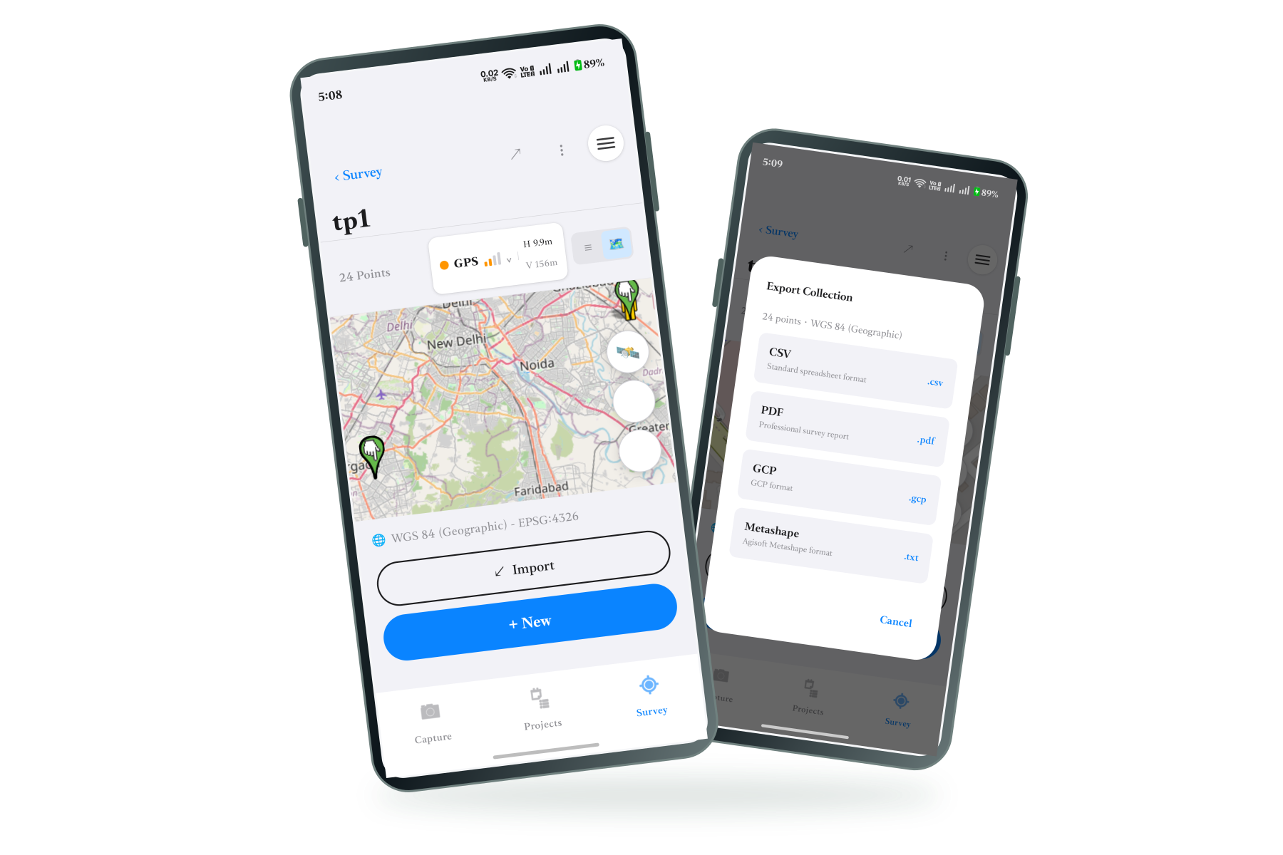
FIELD / WORKSPACE
The link between your field coordinates and project data.
Explore MetaSync ↗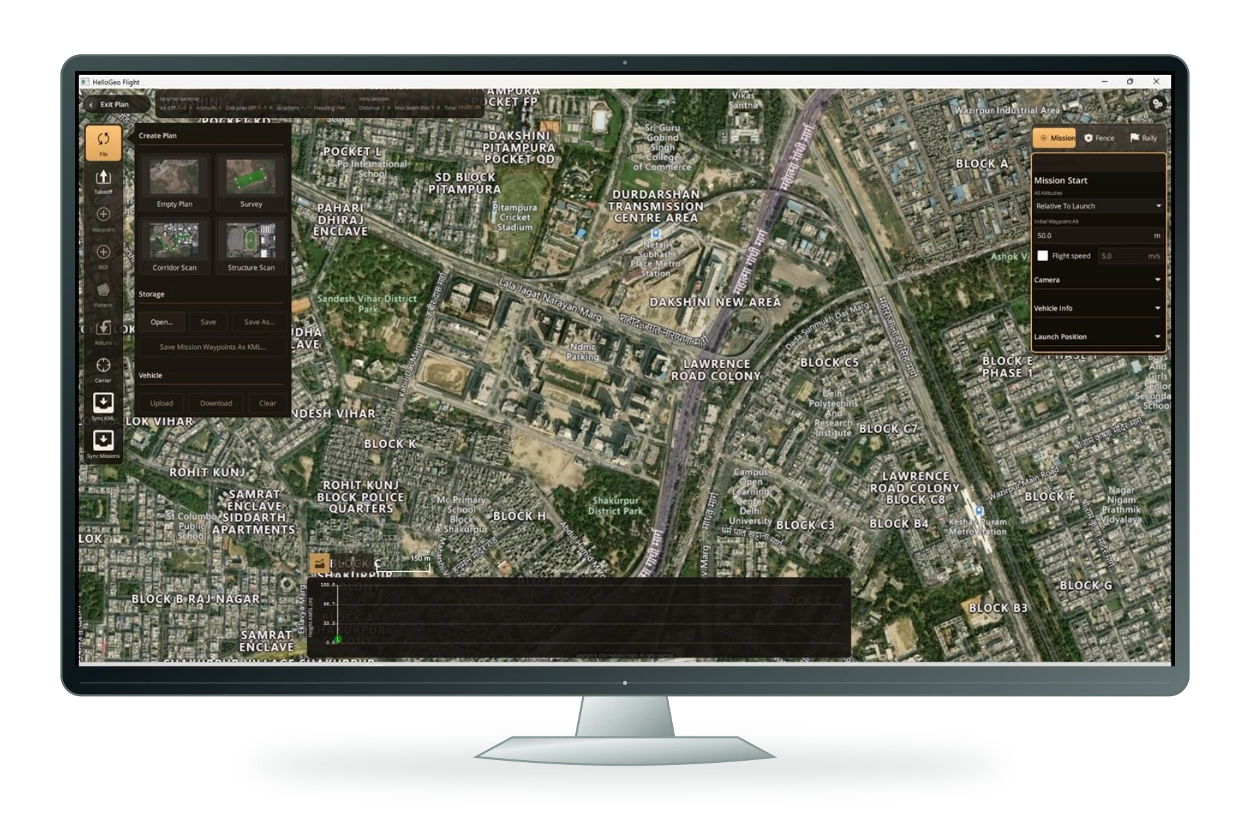
03 / DEVELOPER API
Choose your processing capacity and storage model. Add a plan to your enquiry for a tailored proposal.
HOSTED STORAGE
Request pricing
BRING YOUR OWN STORAGE
Request pricing
BRING YOUR OWN STORAGE
Request pricing
BRING YOUR OWN STORAGE
Request pricing
Pricing is available on request. Our team will confirm the right capacity, licensing, deployment and support for your project.
HELLOGEO / SITE INFRASTRUCTURE
Explore the product, then connect it to your site.
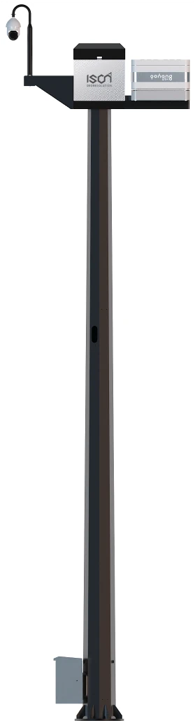
THE CONNECTED SITE
A connected site-infrastructure platform bringing pole-mounted camera views, environmental observations and station context into the HelloGeo Control Centre workflow.
Scope camera views and PTZ monitoring alongside the Control Centre site context. Camera model, stream access and available controls are confirmed for your deployment.
Additional AI vision and third-party counter-UAS detection integrations are project requests. Installed modules are confirmed for each project.
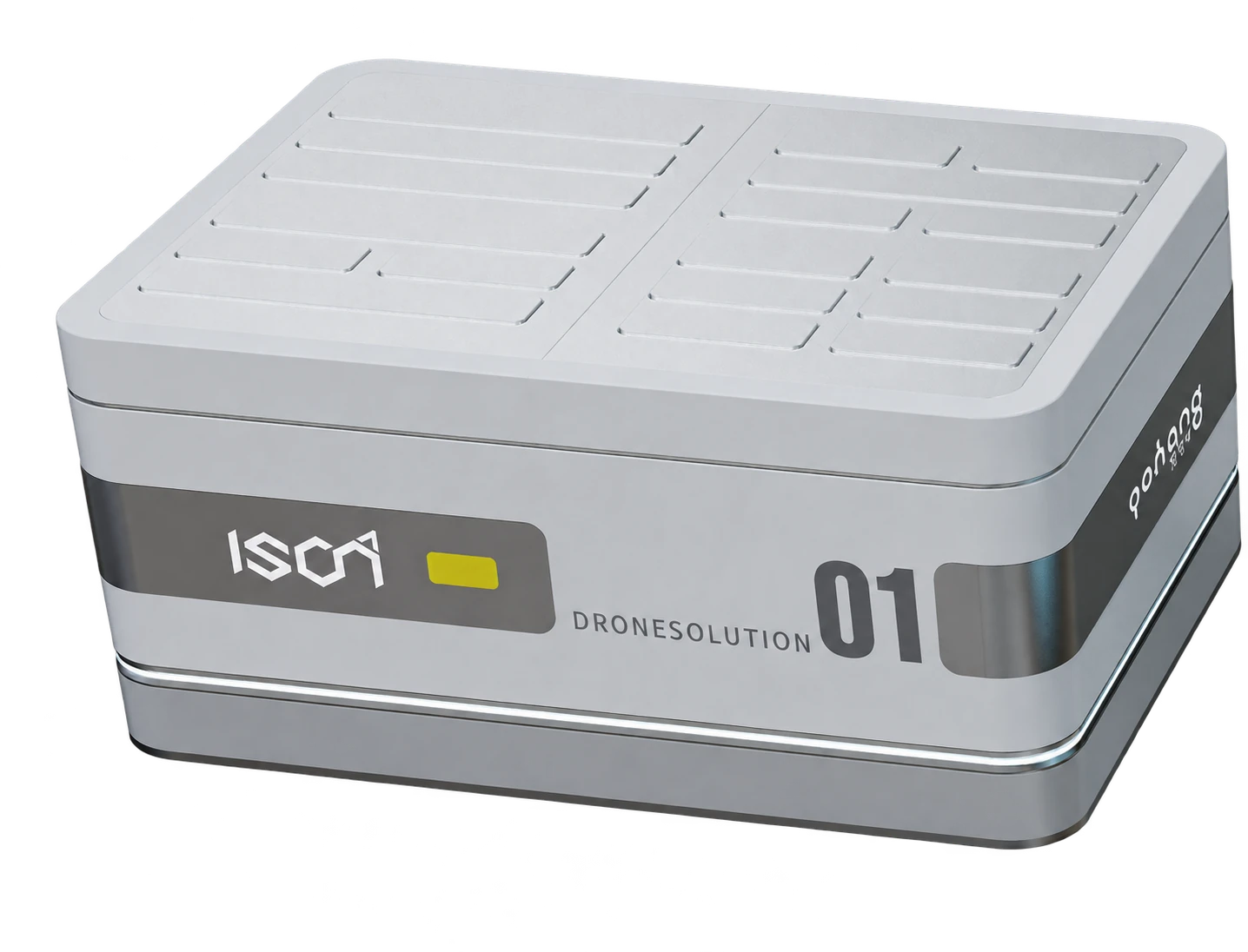
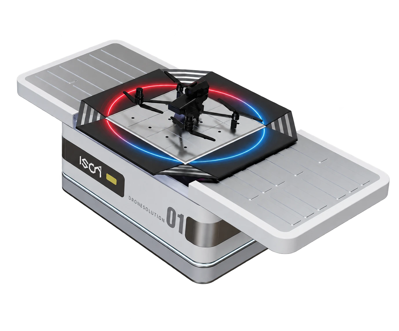
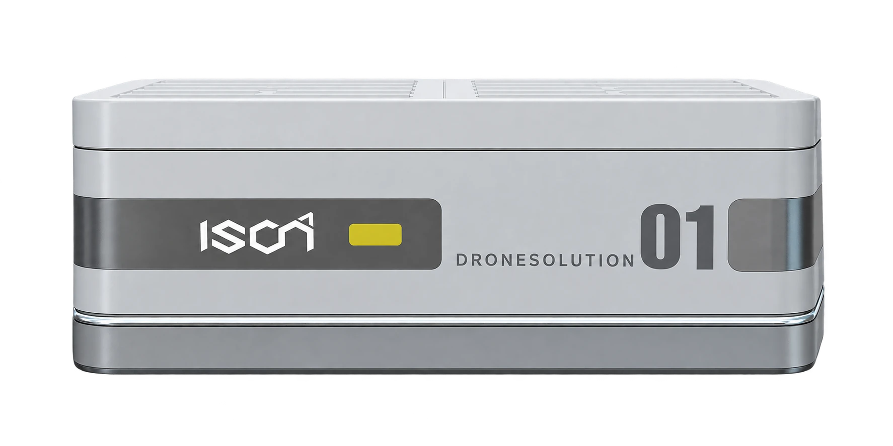
A BASE FOR THE BIGGER WORKFLOW
Explore the enclosure, open station and side view. Connect the hardware discussion with the command, data and service workflow.
Choose the setting. Build the surrounding solution.
Rooftop and vehicle concepts require structural, payload, power, communications and stability assessment. Vehicle operation is considered while parked; compatibility is confirmed for each project.
Explore Drone Station ↗Product views: Enclosure ↗ · Open view ↗ · Assembly ↗
04 / THE PRODUCT COLLECTION
Quick-look inside a product. Compare up to three. Add the right combination to your project enquiry.
Suggested enquiry starting points. Product compatibility and delivery scope are confirmed for your project.
22 products
Plan the mission. Build the library. Manage the operation.
Plan façade, building, circular and survey missions with HelloGeo Nexus. Organise revisioned mission libraries, reuse routes and review connected operations.
Aircraft, controller, firmware and payload compatibility are reviewed for each deployment. Dock 4 / Matrice 5TD requires O4 Ground Station, a licensed DJI base and commissioning; live operational acceptance remains pending.
Request pricing
Precision starts where you stand.
Put precision at the start of every project. Portable RTK GNSS hardware connects field observations with the wider HelloGeo ecosystem.
Achievable accuracy depends on the receiver configuration, correction service, satellite visibility, environment and survey method. Confirm the specification for your project.
Request pricing
From the field. Into your workflow.
A mobile field-data application for GNSS and RTK point collection, ground control points, geotagged media and project synchronisation.
Features differ between Android and iOS. Confirm device compatibility and current store requirements before deployment.
Request pricing
MAVLink operations. In the field.
The published Android ground-control application for ArduPilot and PX4 workflows via MAVLink.
Flight and Vector serve different integration paths. Confirm the exact vehicle, firmware and connection setup before deployment.
Request pricing
V5D · Evaluation preview
Explore a spatial intelligence environment connecting place, time, scenarios, evidence and delivery.
The linked workspace is a private evaluation preview with illustrative data. It does not establish surveyed accuracy or certified simulation results.
Request pricing
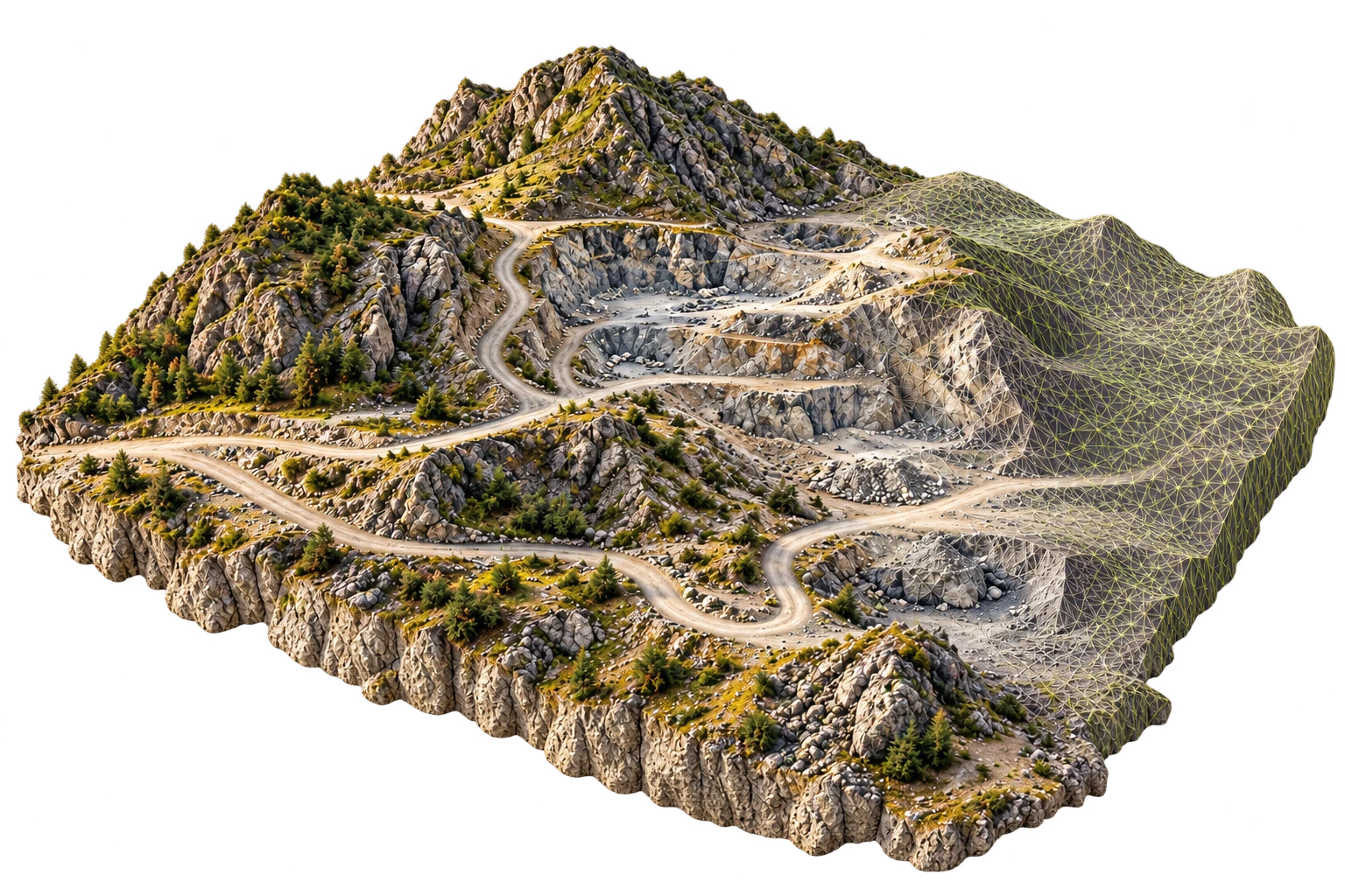
Engineering development
A photogrammetry engineering programme focused on transforming imagery into geospatial products within the HelloGeo ecosystem.
Engineering development, not a production-qualified offer. The reviewed V15 audit does not establish a completed 10,000-image run, certified accuracy or production release.
Request pricing
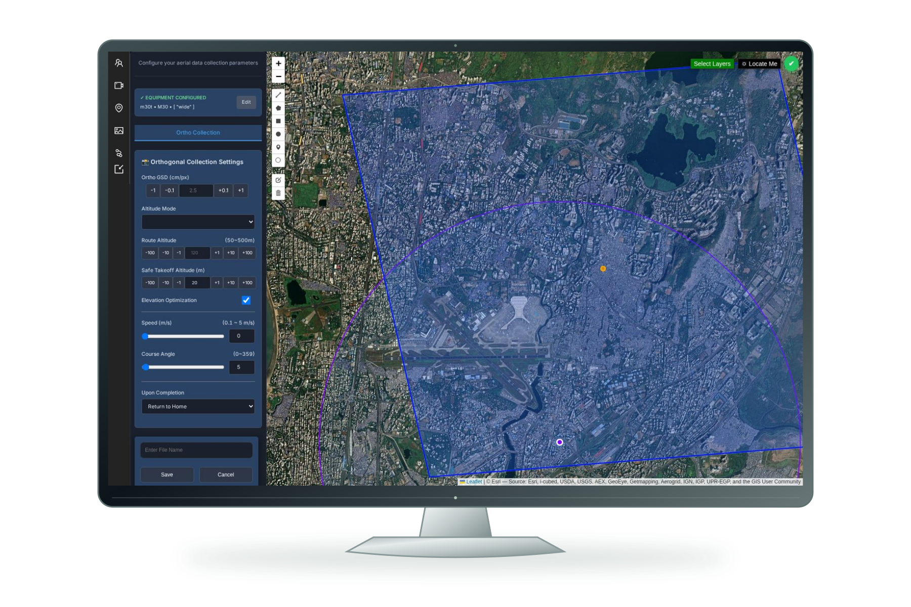
One Operational Picture. Faster, More Confident Decisions.
HelloGeo Command Center is a secure, multi-domain operations platform that unifies GIS layers, autonomous assets, live video, sensor feeds, AI alerts, field teams and incident workflows within one command environment.
Request pricing
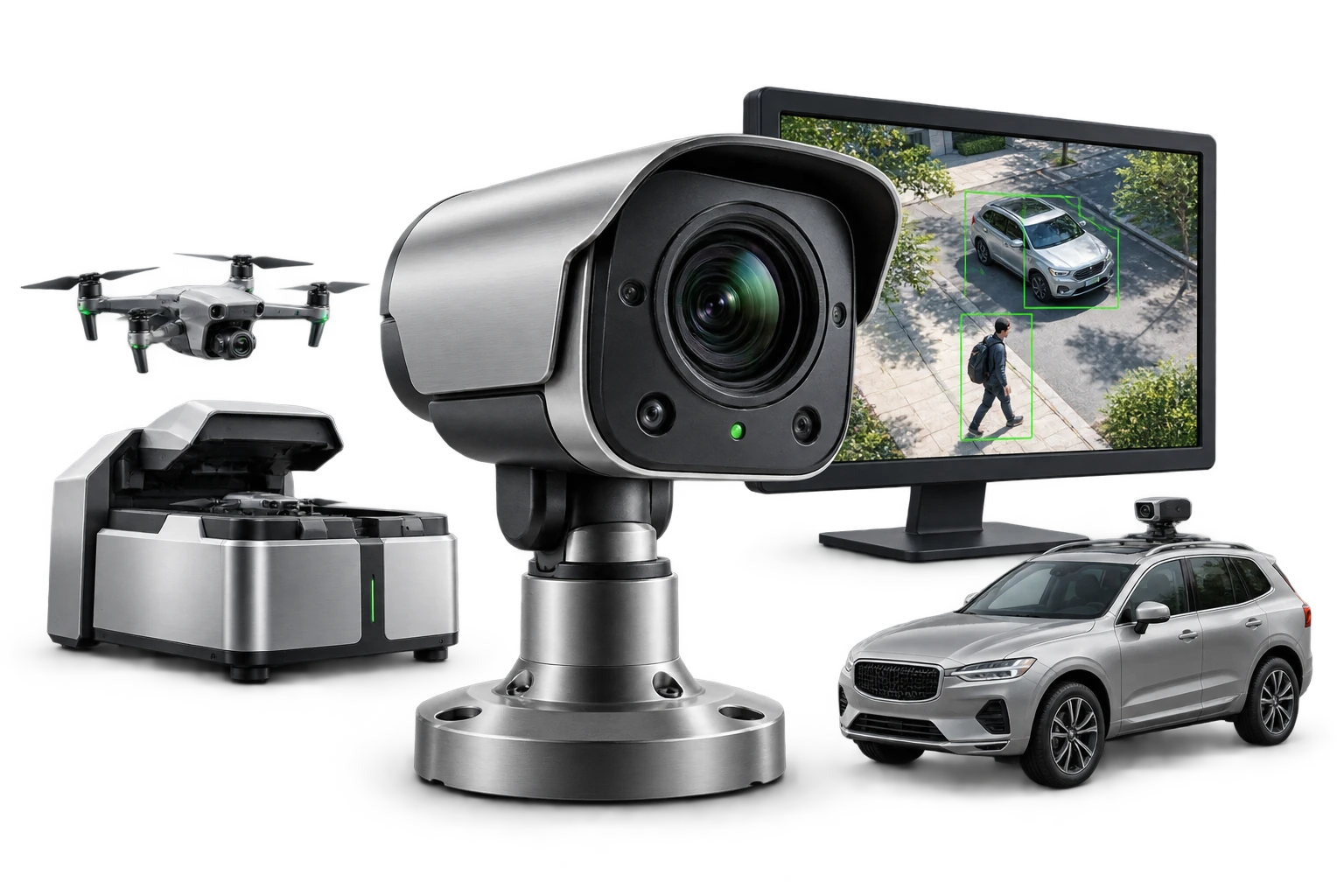
See the event. Keep the evidence.
Configure HelloGeo AI Vision for existing cameras, a parked vehicle camera kit or a Drone Station package. Explore detection, evidence reports and Train AI.
AI Vision is a separately configurable visual intelligence product. Camera compatibility, licences, camera count, mounting and pricing are confirmed in the quotation. The website demonstrates synthetic events only.
Request pricing
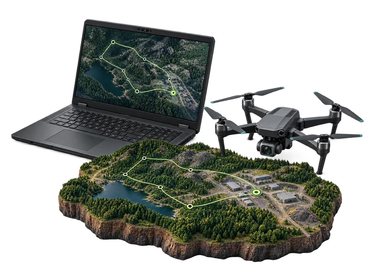
One Ground Control Platform. Every Mission.
HelloGeo GCS Suite is a secure, multi-platform Ground Control System for planning, controlling, monitoring and documenting drone operations across individual aircraft, autonomous drone stations and distributed fleets.
Request pricing
Persistent Aerial Intelligence. Without an On-Site Pilot.
HelloGeo Drone Station is an autonomous, remotely managed drone-infrastructure platform designed for repeatable inspections, surveillance, mapping and rapid-response missions.
Autonomous functions and operating permissions depend on selected hardware, local regulations and deployment acceptance.
Request pricing
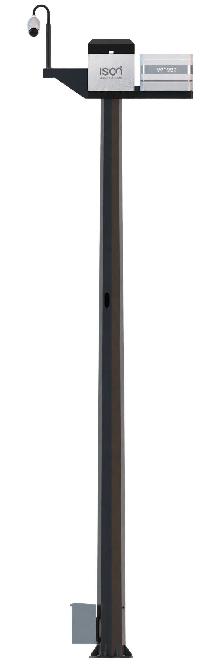
One site. A clearer operational picture.
A connected site-infrastructure platform bringing pole-mounted camera views, environmental observations and station context into the HelloGeo Control Centre workflow.
The supplied Control Centre handbook describes Artpole, PTZ camera, weather and station panels. Available sensors, mounting, communications and integrations are defined for each project. AI vision and third-party counter-UAS detection are configurable requests, subject to assessment.
Request pricing
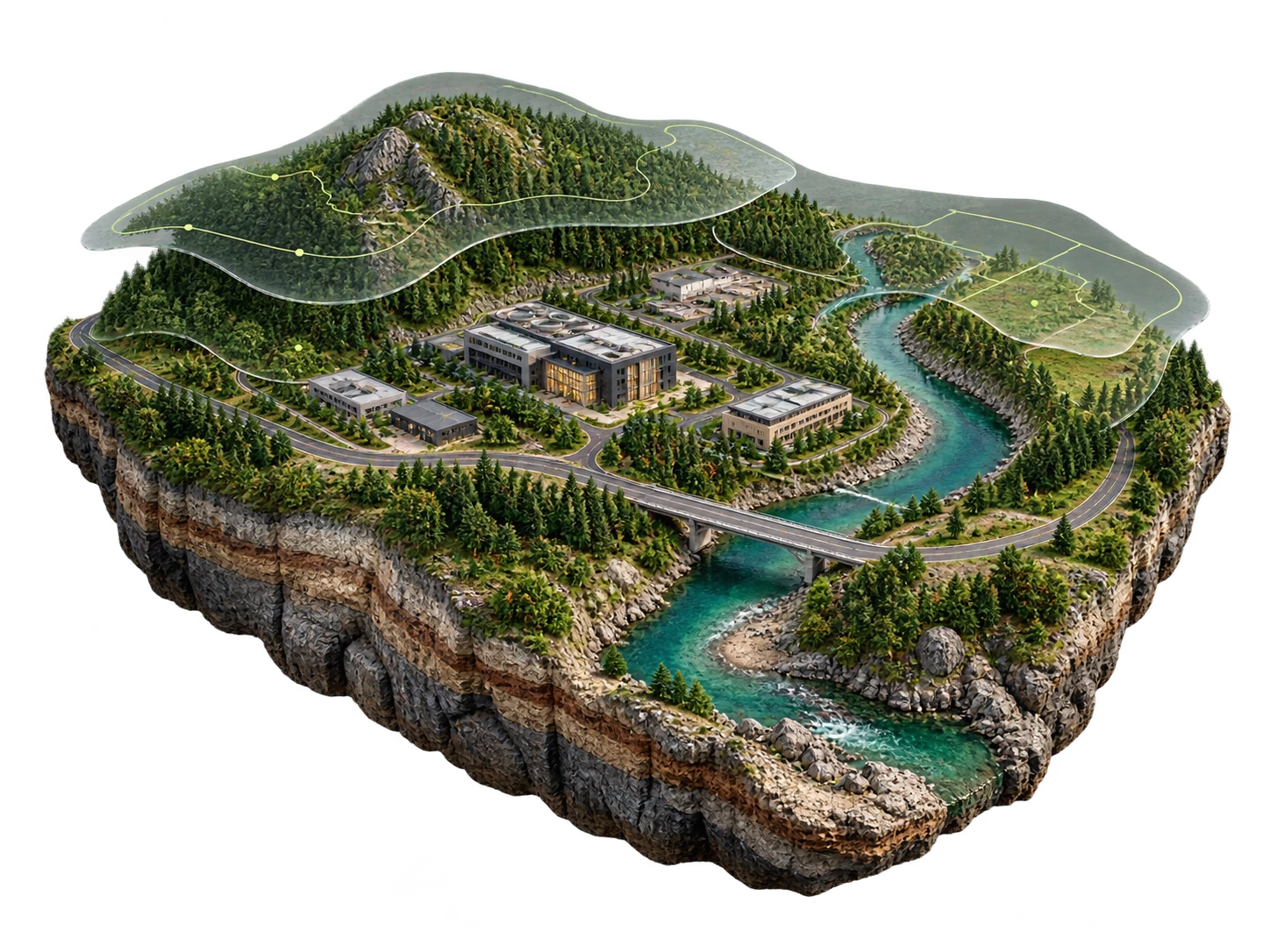
Transform Location Data into Decision Intelligence
Aerial, LiDAR and satellite intelligence. Spectral analysis, terrain, mapping and GIS delivery.
Request pricing
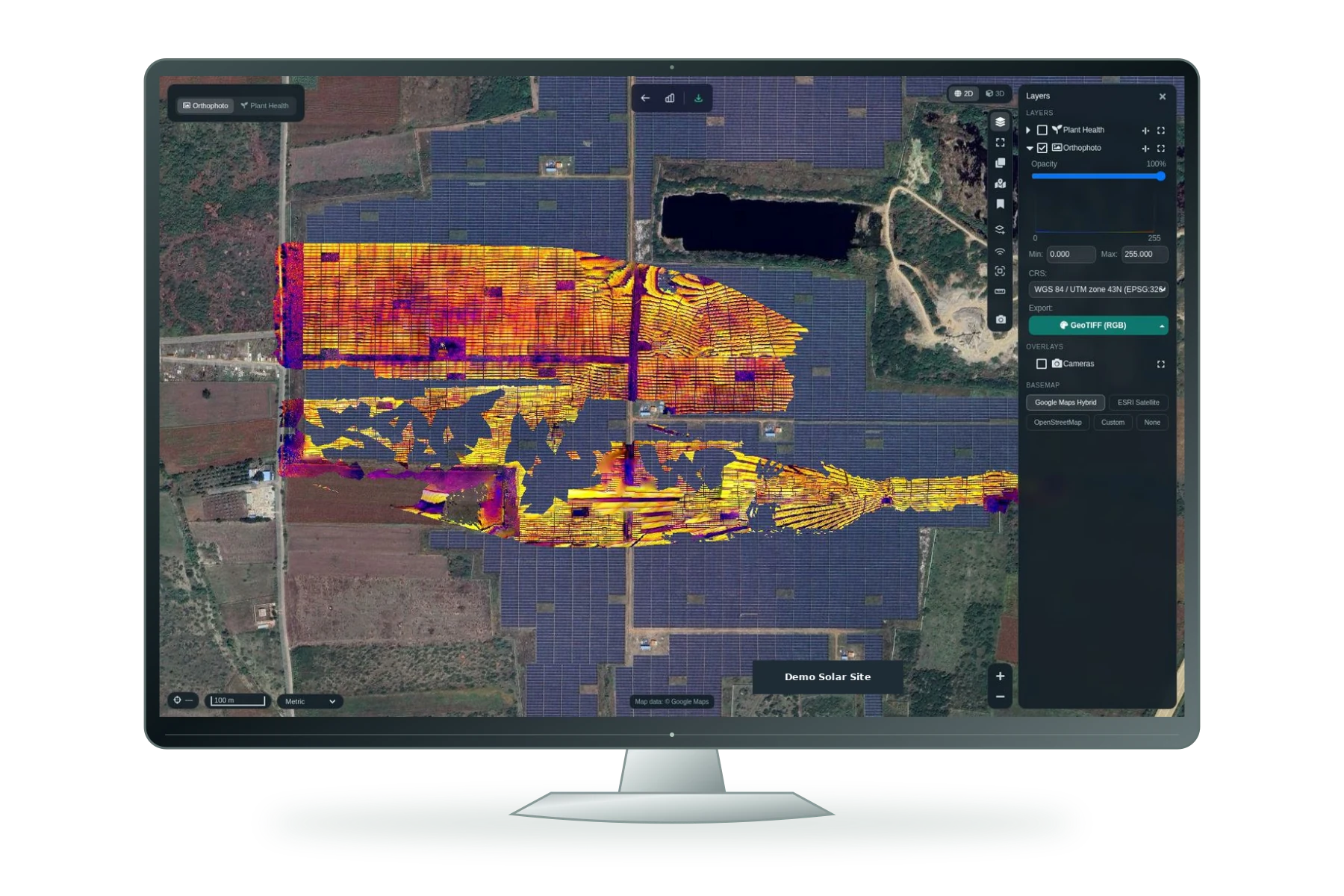
Transform Raw Geospatial Data into Actionable Intelligence
Modern drones, satellites, LiDAR systems and connected sensors generate enormous volumes of spatial data. However, the true operational value of this data is realized only when objects, assets, terrain and anomalies can be accurately identified, classified and converted into decision-ready GIS layers.
Model performance depends on the dataset, task and deployment conditions. Project-specific validation is required; marketing illustrations are not accuracy evidence.
Request pricing
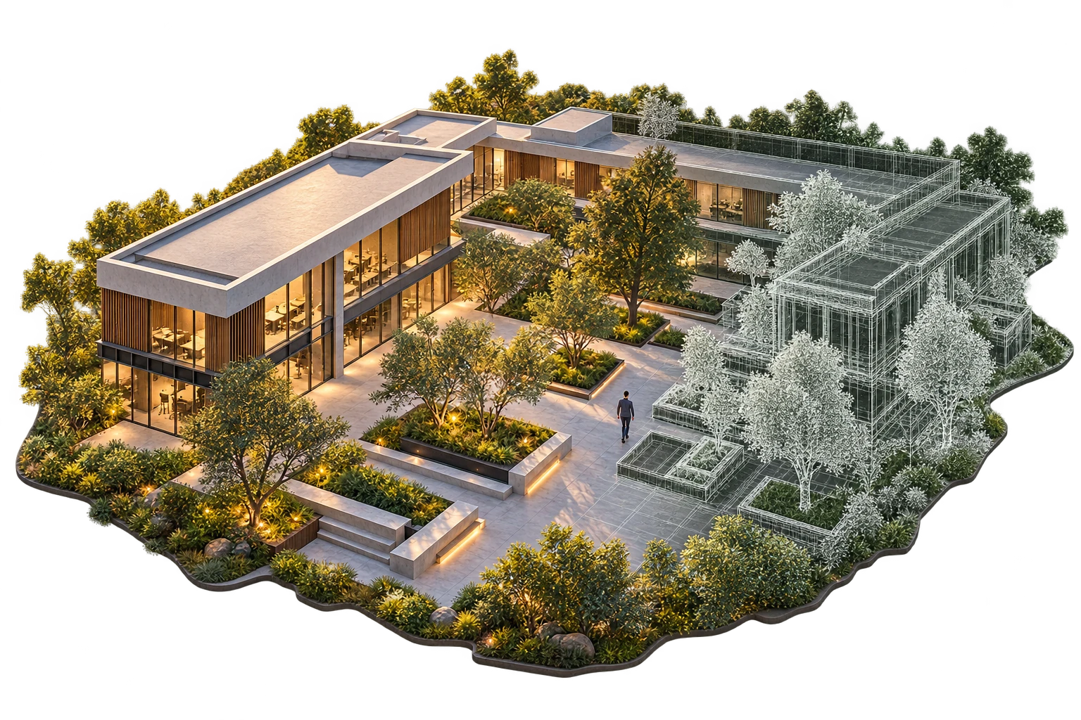
Build, Simulate and Operate Intelligent Digital Twins
HelloGeo Metaverse Suite is an enterprise spatial computing platform that transforms physical assets, infrastructure and environments into interactive, data-rich digital twins for immersive visualization, simulation and operational decision-making.
Request pricing
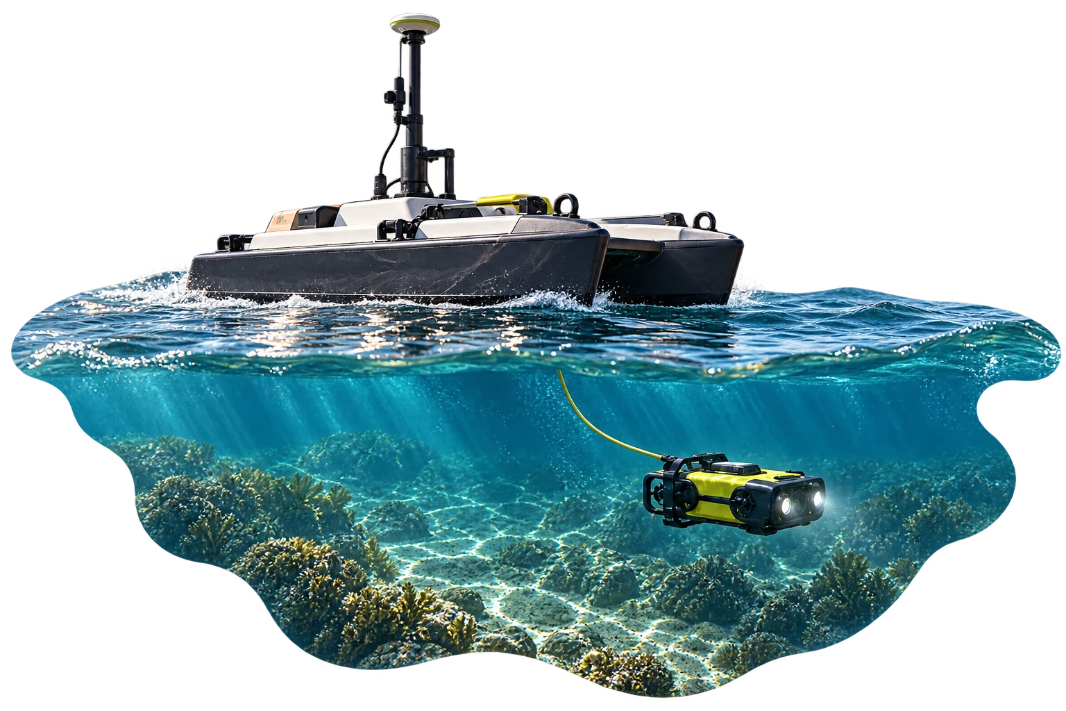
Intelligence Above, Across and Below the Waterline
HelloGeo Marine is an integrated maritime intelligence and autonomous-operations platform that connects marine vehicles, aerial drones, underwater systems, hydrographic sensors and spatial data within one secure operational environment.
Request pricing
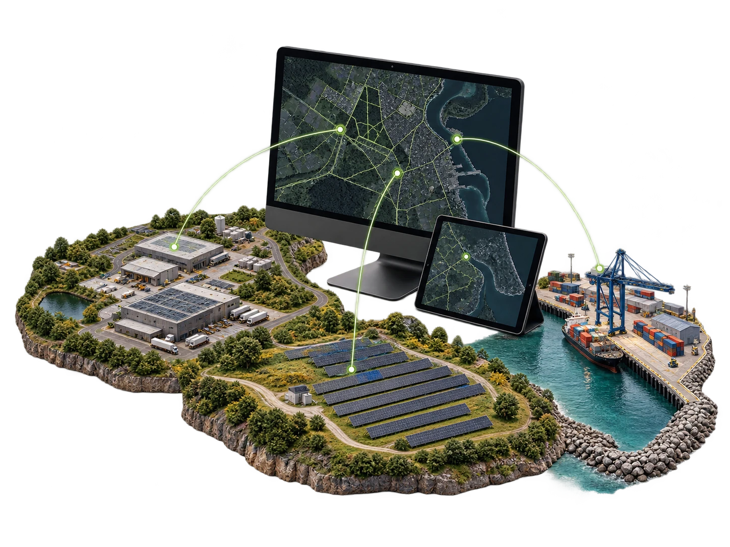
Operate Every Mission. From Anywhere.
HelloGeo Remote Application is a secure, web-enabled operations platform for remotely planning, monitoring and managing drones, autonomous stations, sensors and geospatial workflows from one unified interface.
Request pricing
Connect Every Screen. Control Every Location.
HelloGeo Connect is a cloud-enabled digital signage and smart display management platform that enables organizations to publish, schedule and monitor multimedia content across one screen or an entire multi-location display network.
The reviewed technical guide describes the digital signage product. Remote meeting and access requirements should be scoped separately.
Request pricing
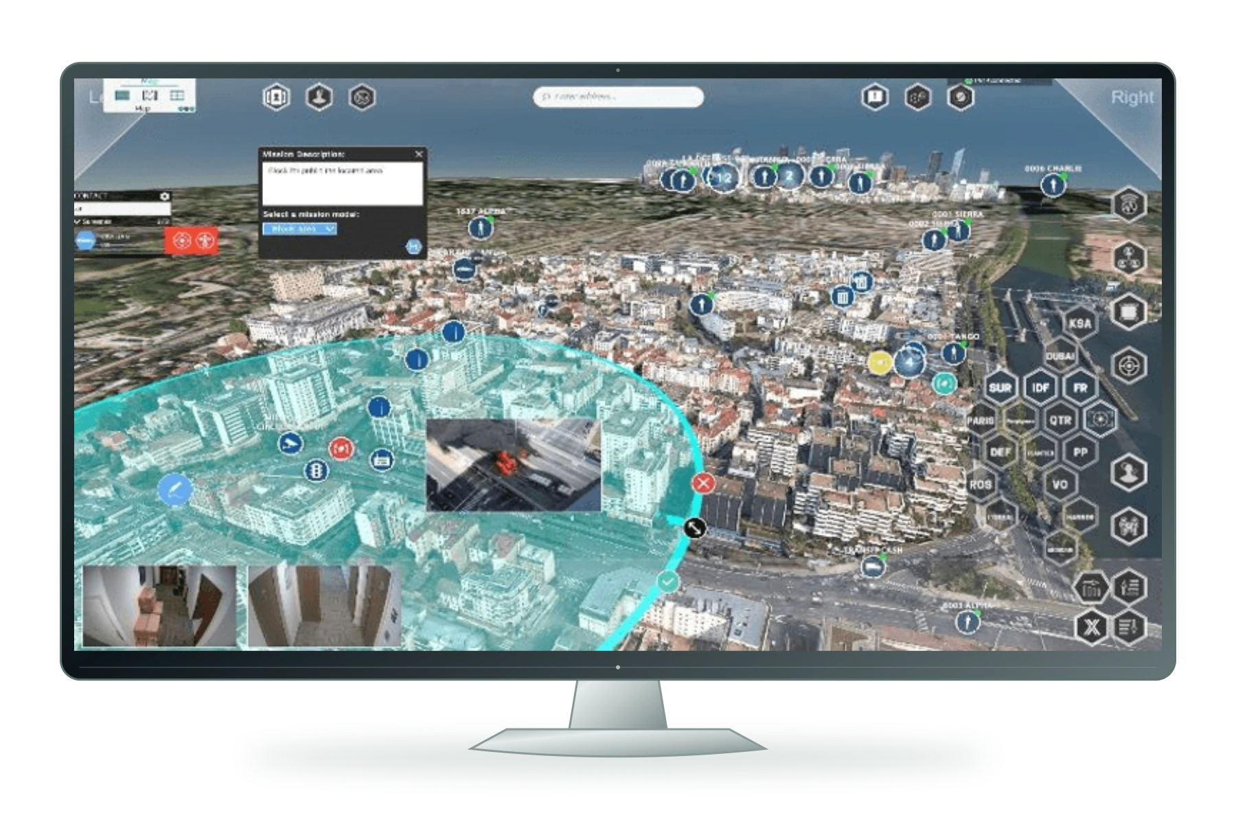
Multi-domain operational intelligence
HelloGeo Defence is a secure, mission-ready geospatial and autonomous-operations platform designed for defence, security and critical infrastructure protection.
Request pricing
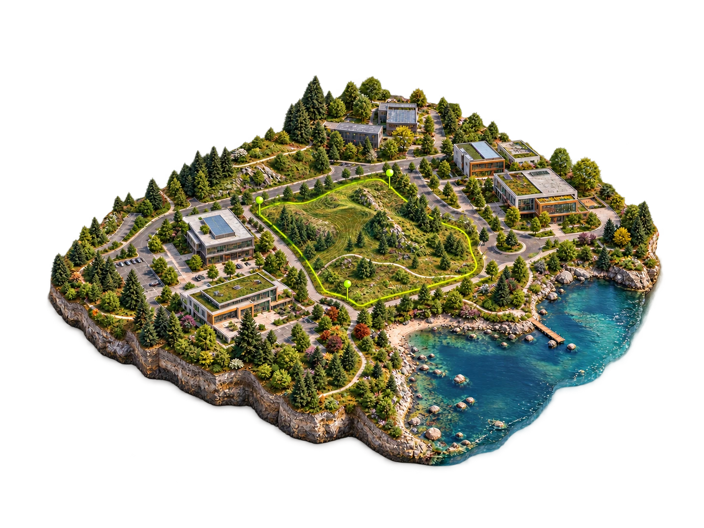
Browser workspace
Open the existing HelloGeo mapping workspace for your authorised spatial workflows.
Authorised workspace access is required. Features depend on the configured project.
Request pricing
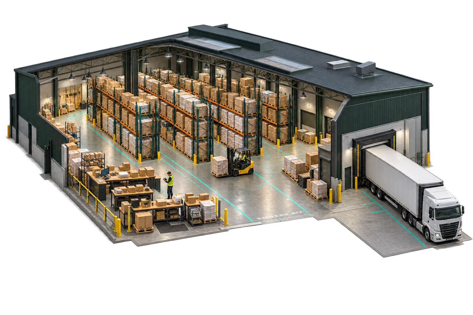
Warehouse & operations
Connect warehouse, logistics, workforce and audit operations in the HelloGeo enterprise ecosystem.
This is an existing private workspace. Confirm the enabled modules and production readiness for your deployment.
Request pricing
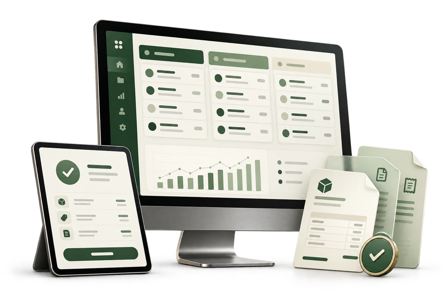
Commercial operations
A browser workspace for the business workflows supporting your organisation.
Access and enabled functionality depend on the existing workspace configuration.
Request pricing
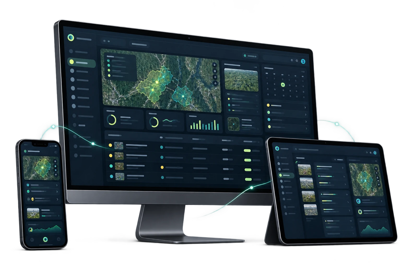
Operating platform
Explore the existing HelloGeo HIMS operating workspace with your authorised account.
Authorised workspace access is required. Product scope and enabled modules are confirmed during consultation.
Request pricing
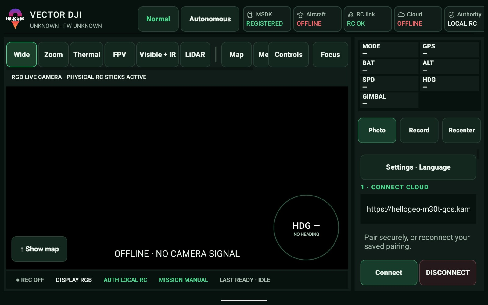
The controller connection.
Controller-side integration streams for DJI and Autel operations, connecting the field RC with the Nexus mission workspace.
Exact aircraft, controller, firmware, payload and SDK combinations require qualification. Catalogue coverage does not establish flight acceptance.
Request pricing
Try another capability or category.
IT STARTS WITH A COORDINATE
See how modules come together around your project in the Experience Zone.
Build your experience ↗The new dock configuration joins the Nexus ecosystem with its own Cloud API 2 module.
Dock infrastructure with automated battery swapping.
The aircraft DJI specifies for Dock 4.
Required for Dock 4, with video transmission and RTK functions.
| Dock | Supported aircraft | Nexus connection | Configuration |
|---|---|---|---|
| DJI Dock 2 | Matrice 3D / Matrice 3TD | Dock Cloud API pathway | Existing station and site commissioning |
| DJI Dock 3 | Matrice 4D / Matrice 4TD | Dock Cloud API pathway | Existing station and site commissioning |
| DJI Dock 4 | Matrice 5TD | Dedicated Cloud API 2 module | O4 Ground Station + licensed DJI base |
Dedicated Cloud API 2 configuration and commissioning workflows, with operation, recovery and history adapters. Device capabilities, licensed access and site acceptance govern availability; operational controls remain commissioning-gated.
Match the station, aircraft and firmware. Configure the licensed base, organisation access, power and network, then complete the site acceptance checks.
9 DJI RC profiles and 24 Autel-family profiles remain separate from the 5 dock-aircraft entries. Dock 4 uses a dedicated Cloud API 2 connection.