
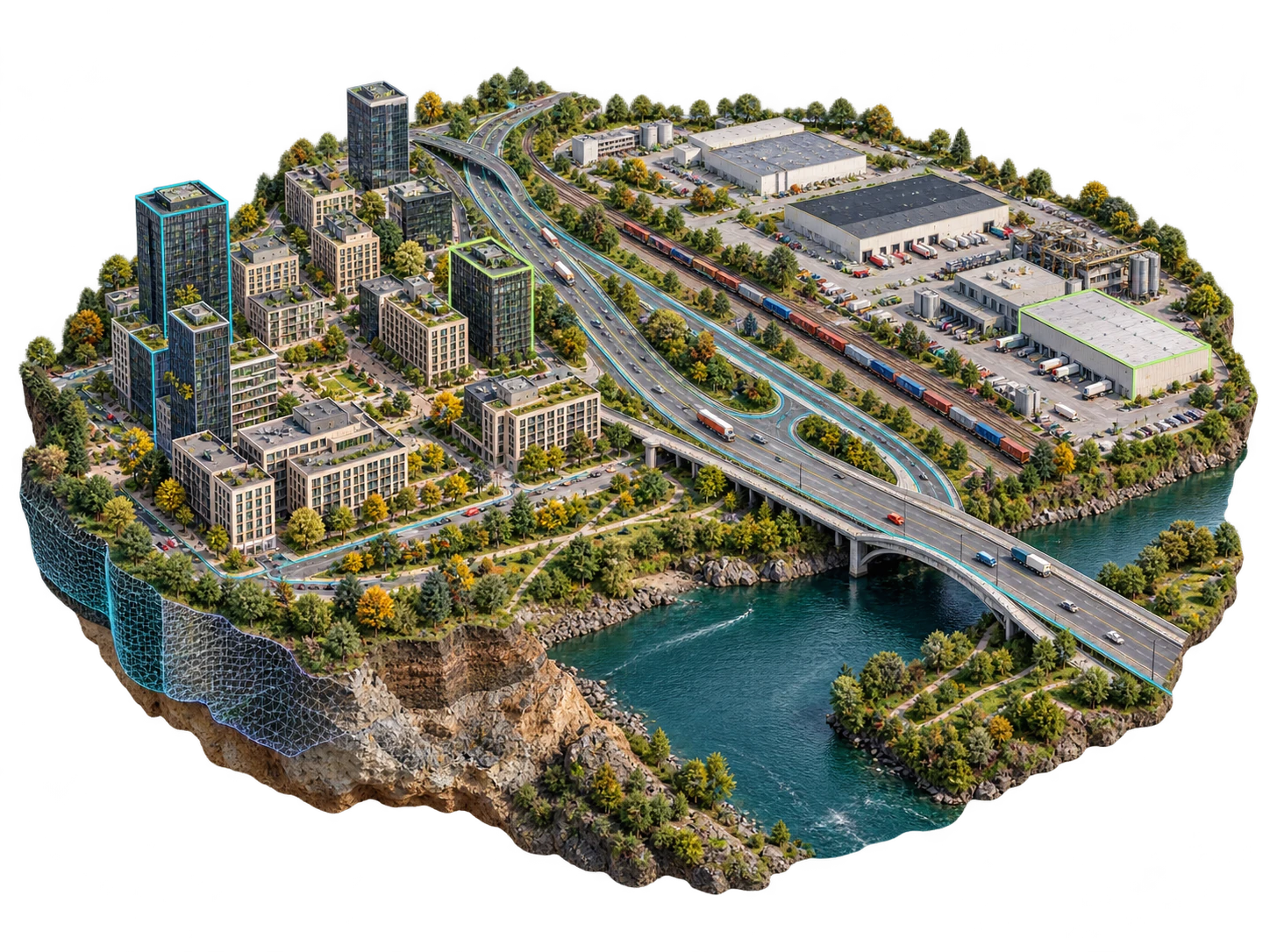
Digital twin evaluation
Define inputs, access requirements and acceptance criteria with the HelloGeo team before operational deployment.
V5D · Evaluation preview
Explore a spatial intelligence environment connecting place, time, scenarios, evidence and delivery.
Explore the published capability areas. Product configuration and deployment scope determine availability.
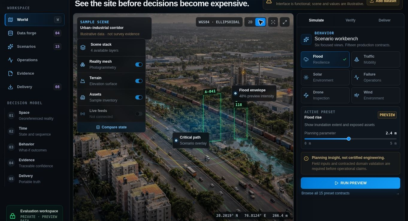
Review an illustrative environment with terrain, reality mesh and asset layers.
Explore scenario views for flood, traffic, solar, wind and inspection use cases.
Separate illustrative planning content from measured field evidence and validated outputs.
Define inputs, access requirements and acceptance criteria with the HelloGeo team before operational deployment.
Define inputs, access requirements and acceptance criteria with the HelloGeo team before operational deployment.
Define inputs, access requirements and acceptance criteria with the HelloGeo team before operational deployment.
EXPLORE THE PRODUCT
Bring place, time and scenarios into a shared spatial view, with evidence and delivery attached to the project.
Your team knows the site. We know the spatial workflow. Together, we can define a practical way forward.