Rooftop and vehicle concepts require structural, payload, power, communications and stability assessment. Vehicle operation is considered while parked; compatibility is confirmed for each project.
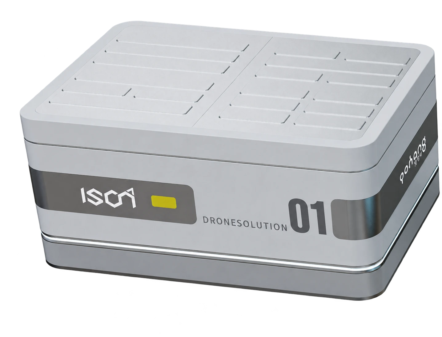
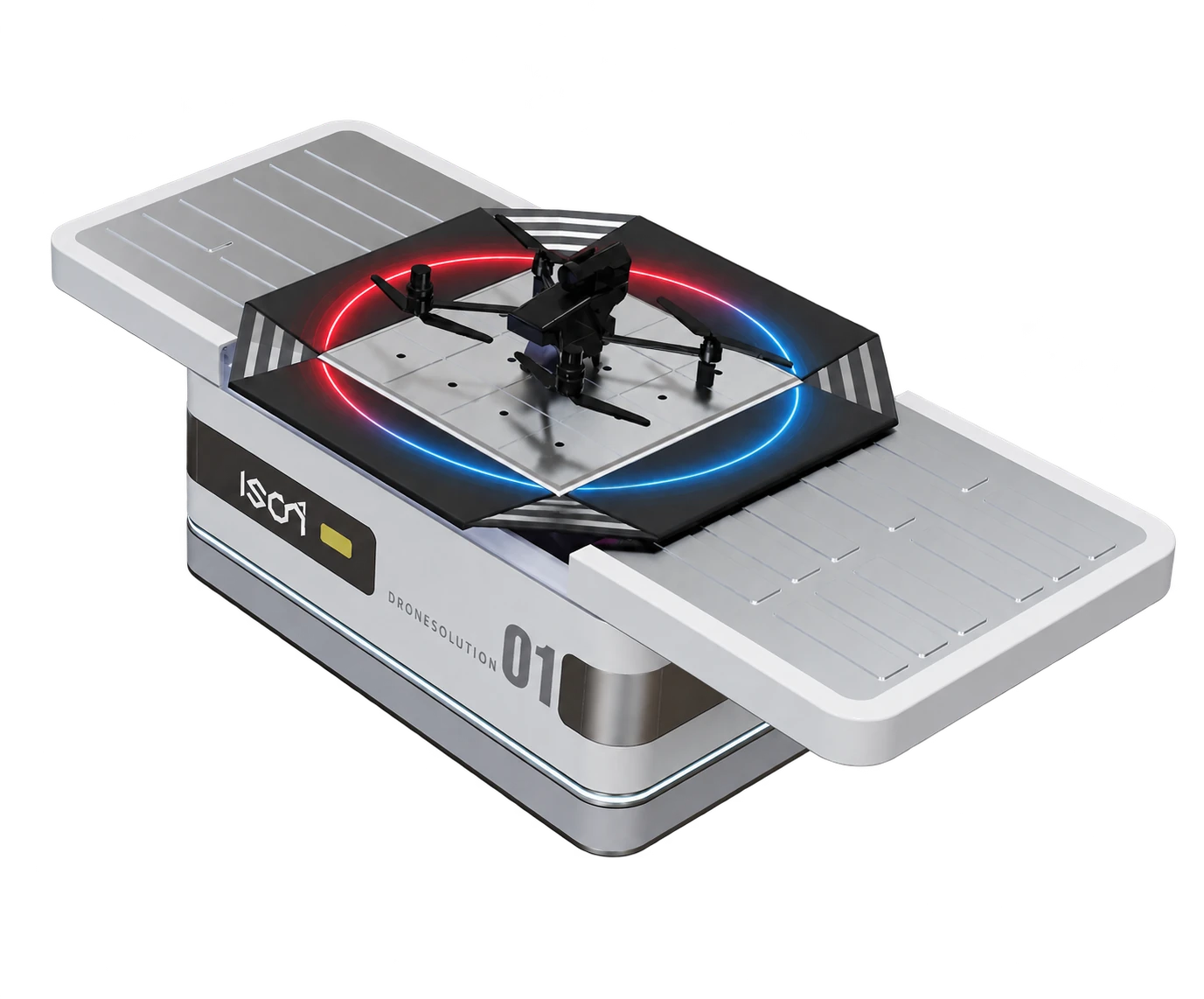
HelloGeo Drone Station is an autonomous, remotely managed drone-infrastructure platform designed for repeatable inspections, surveillance, mapping and rapid-response missions.
The station securely houses a compatible UAV, manages aircraft readiness, supports automated launch and recovery, and connects every mission to HelloGeo GCS, GIS and AI analytics—enabling organizations to maintain continuous visibility across critical locations.
CAPABILITIES / 16 FEATURE GROUPS
Go deeper into the product.
Explore the published capability areas. Product configuration and deployment scope determine availability.
01 Automated Launch and Recovery
Remotely initiate compatible UAV missions
Automated station opening and closing
Pre-flight system and readiness verification
Precision take-off and landing workflows
Mission completion and automatic return
Aircraft recovery after supported missions
Configurable retry and exception procedures
Remote intervention by authorized operators
02 Autonomous Mission Scheduling
Schedule daily, weekly or event-based missions
Configure recurring inspection routes
Create reusable mission templates
Assign missions by station, site or operational zone
Support on-demand emergency deployment
Pause, reschedule or cancel missions remotely
Maintain mission calendars and operating windows
Coordinate missions across multiple stations
03 Aircraft Charging and Readiness
Automated charging for supported aircraft
Battery and charging-status monitoring
Aircraft power and readiness visibility
Battery-health and cycle-history records
Configurable minimum-charge requirements
Charging exception alerts
Power-restoration and recovery procedures
Backup-power integration options
04 Precision Landing
Station-specific landing guidance
Supported visual or marker-assisted positioning
Landing-zone verification
Final-approach monitoring
Aircraft alignment confirmation
Landing exception detection
Controlled recovery workflows
Mission records for every launch and landing
05 Environmental Monitoring
Integrated weather-sensor options
Wind-speed and direction monitoring
Rain and precipitation detection
Temperature and humidity monitoring
Configurable weather-based flight restrictions
Automated mission delay during unsafe conditions
Station interior-condition monitoring
Environmental histories for operational review
06 Rugged Station Protection
Weather-resistant enclosure architecture
Protection against dust, rain and environmental exposure
Internal thermal-management options
Lockable aircraft compartment
Tamper and unauthorized-access alerts
Configurable surveillance-camera integration
Lightning and electrical-protection options
Site-specific foundation and mounting configurations
Protection ratings and operating ranges should be published according to the selected station model.
07 Remote Command and Control
Integration with HelloGeo GCS Suite
Live aircraft and station-status monitoring
Mission start, pause and termination controls
Remote station opening and closing
Telemetry and live payload-feed access
Aircraft and station health notifications
Multi-site supervision from one interface
Command-centre operational visibility
08 Live Video and Payload Monitoring
Supported RGB-camera streaming
Thermal-feed visualization
Multispectral and specialized payload integration
Gimbal and supported camera control
Photo and video capture commands
Georeferenced observation recording
Live incident and anomaly review
Secure stakeholder viewing options
09 Automated Data Transfer
Upload captured mission data after landing
Organize information by station, mission and date
Transfer imagery to GIS and processing workflows
Synchronize mission logs and telemetry
Connect data with mapped assets
Trigger configurable processing pipelines
Support edge-processing options
Maintain complete data-transfer histories
10 AI-Assisted Analysis
Detect supported anomalies in captured imagery
Identify thermal and visual changes
Highlight encroachments and vegetation growth
Support asset-condition assessment
Generate confidence-based observations
Prioritize events for operator review
Convert detections into maintenance actions
Integrate findings with GIS and digital twins
11 Station and Fleet Management
Register multiple drone stations and aircraft
Organize stations by region, project or customer
Monitor online, offline and warning states
Review aircraft and station utilization
Track mission hours and operational cycles
Maintain service and maintenance histories
Configure station-level operating policies
Generate fleet and readiness dashboards
12 Fail-Safe and Safety Management
Pre-flight readiness checks
Geofence and altitude restrictions
Low-battery return procedures
Communication-loss response configuration
Unsafe-weather mission prevention
Emergency mission termination
Controlled station and aircraft recovery
Alerts for abnormal operational conditions
Complete safety-event logging
13 Connectivity
Ethernet and supported broadband connectivity
4G/5G integration options
Wi-Fi and secured local-network options
Configurable primary and backup communication links
Continuous connection-health monitoring
Store-and-forward data capability
Low-bandwidth operational modes
Enterprise VPN integration
14 Enterprise Security
Role-based access control
Station and project-level permissions
Secure authentication
Encrypted command and data communication
Command and activity audit trails
Configurable operating approvals
Cloud, private-cloud and on-premise deployment
Sovereign deployment for sensitive environments
15 APIs and System Integration
Integration with HelloGeo GIS Suite
Integration with HelloGeo GCS Suite
Command-centre and ICCC connectivity
Supported ERP, EAM and maintenance integration
Alert and incident-management integration
GIS and digital-twin data exchange
Webhook and API-based automation
Custom enterprise connectors
16 Nexus dock configurations
DJI Dock 2 with Matrice 3D / 3TD; Dock 3 with Matrice 4D / 4TD; Dock 4 with Matrice 5TD and O4 Ground Station.
Choose the exact station and aircraft pairing
Dock 4 uses the separate Nexus Cloud API 2 module
Dedicated Cloud API 2 configuration and commissioning workflows, with operation, recovery and history adapters. Device capabilities, licensed access and site acceptance govern availability; operational controls remain commissioning-gated.
Autonomous functions and operating permissions depend on selected hardware, local regulations and deployment acceptance.
PROJECT CONTEXT
From capability to useful work.
Deployment Configurations
Fixed Ground Station
Installed at a permanent site for recurring mapping, inspection, monitoring and surveillance missions.
Rooftop Station
Deployed on commercial, industrial or government buildings for urban and perimeter operations.
Industrial-Site Station
Configured for power plants, refineries, mines, factories, ports and large infrastructure facilities.
Mobile Station
Vehicle- or trailer-mounted configuration for emergency response, corridor surveys and temporary deployments.
Elevated Station
Tower- or pole-mounted configurations for sites requiring improved security, visibility or environmental protection.
Multi-Station Network
Multiple stations connected through a centralized command centre for regional or national-scale operations.
How it works
Deploy
Install the station at an approved operational location
Configure
Connect the compatible aircraft, sensors and communication systems
Plan
Define routes, geofences, schedules and operating limitations
Validate
Complete station, aircraft, weather and airspace checks
Execute
Launch scheduled or on-demand missions remotely
Recover
Return, land, secure and recharge the aircraft
Analyse
Transfer captured data into GIS and AI workflows
Act
Generate alerts, assign actions and maintain operational records
Applications
Automated transmission-line inspections
Tower and conductor monitoring
Vegetation and right-of-way assessment
Thermal anomaly detection
Storm and outage reconnaissance
Repeatable corridor documentation
Maintenance-priority identification
Scheduled thermal inspections
Panel and string anomaly monitoring
Perimeter surveillance
Vegetation and drainage assessment
Construction-progress tracking
Repeatable asset documentation
Emergency incident verification
Turbine tower and blade inspection
Access-road and site monitoring
Construction and maintenance documentation
Thermal and visual anomaly assessment
Perimeter security
Repeatable autonomous inspections
Post-weather-event surveys
Pipeline and process-area monitoring
Storage-tank and flare-stack inspections
Perimeter and intrusion surveillance
Thermal anomaly identification
Environmental compliance checks
Emergency response
Maintenance documentation
Stockpile and volume surveys
Pit and haul-road monitoring
Slope and high-wall assessment
Safety-zone surveillance
Equipment and activity monitoring
Environmental compliance
Change detection
Daily or weekly progress monitoring
Earthwork and stockpile assessment
As-built documentation
Contractor and package monitoring
Highway, railway and metro surveys
Bridge and structure inspections
Corridor encroachment assessment
Port and terminal surveillance
Berth and yard monitoring
Cargo-area observation
Perimeter and restricted-zone security
Incident response
Coastal and environmental monitoring
Infrastructure inspection
Scheduled crop-health surveys
Irrigation and drainage monitoring
Plantation and forest assessment
Fire-risk surveillance
Damage and disease identification
Wildlife and encroachment monitoring
Repeatable seasonal mapping
Traffic and mobility monitoring
Illegal construction and encroachment assessment
Urban infrastructure inspection
Waste and environmental monitoring
Event and crowd observation
Emergency-response support
Integration with city command centres
Rapid deployment after floods, fires or landslides
Connect supported station observations with a wider operational picture.
CONNECTED WITH NEXUS
Make recurring work easier to prepare.
Use Nexus mission records to organise repeat inspections, then review the selected aircraft, station and site readiness before each supported operation.
01 / NEXUS
Structure planning
Single-façade, four-sided building and circular waypoint planning, with route parameters kept visible for review.
The new dock configuration joins the Nexus ecosystem with its own Cloud API 2 module.
Coverage updated 17 October 2026
01 / STATION
DJI Dock 4
Dock infrastructure with automated battery swapping.
02 / AIRCRAFT
DJI Matrice 5TD
The aircraft DJI specifies for Dock 4.
03 / REQUIRED CONNECTION
O4 Ground Station
Required for Dock 4, with video transmission and RTK functions.
Choose the matching dock and aircraft
Dock
Supported aircraft
Nexus connection
Configuration
DJI Dock 2
Matrice 3D / Matrice 3TD
Dock Cloud API pathway
Existing station and site commissioning
DJI Dock 3
Matrice 4D / Matrice 4TD
Dock Cloud API pathway
Existing station and site commissioning
DJI Dock 4
Matrice 5TD
Dedicated Cloud API 2 module
O4 Ground Station + licensed DJI base
Nexus module scope
Dedicated Cloud API 2 configuration and commissioning workflows, with operation, recovery and history adapters. Device capabilities, licensed access and site acceptance govern availability; operational controls remain commissioning-gated.
Deployment configuration
Match the station, aircraft and firmware. Configure the licensed base, organisation access, power and network, then complete the site acceptance checks.
9 DJI RC profiles and 24 Autel-family profiles remain separate from the 5 dock-aircraft entries. Dock 4 uses a dedicated Cloud API 2 connection.
CAMERA INTELLIGENCE / SEPARATELY CONFIGURABLE
Add AI Vision to the workflow.
Configure camera event detection, evidence galleries, reports and Train AI separately. Choose an existing-camera licence, a fixed or vehicle camera kit, or a package with Drone Station.