
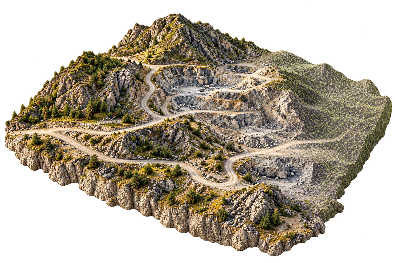
Photogrammetry evaluation
Define inputs, access requirements and acceptance criteria with the HelloGeo team before operational deployment.
A photogrammetry engineering programme focused on transforming imagery into geospatial products within the HelloGeo ecosystem.
Explore the published capability areas. Product configuration and deployment scope determine availability.
Engineering work spans image registration, reconstruction and geospatial product generation.
The programme tracks product coverage, provenance and independent quality checks.
Large-survey orchestration is being developed with explicit resource and validation gates.
Define inputs, access requirements and acceptance criteria with the HelloGeo team before operational deployment.
Define inputs, access requirements and acceptance criteria with the HelloGeo team before operational deployment.
Define inputs, access requirements and acceptance criteria with the HelloGeo team before operational deployment.
Your team knows the site. We know the spatial workflow. Together, we can define a practical way forward.