
Command & autonomy

HelloGeo Remote Application

Operate Every Mission. From Anywhere.

PRODUCT OVERVIEW

What it brings
to the workflow.

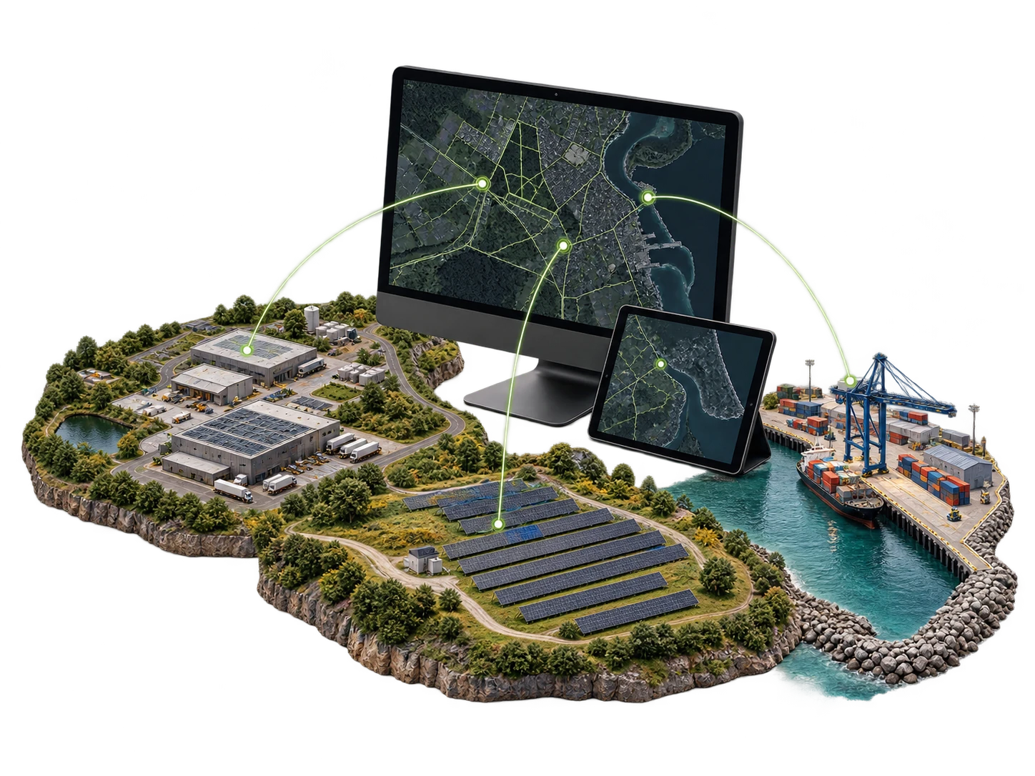
HelloGeo Remote Application is a secure, web-enabled operations platform for remotely planning, monitoring and managing drones, autonomous stations, sensors and geospatial workflows from one unified interface.

Maintain live operational visibility, coordinate distributed assets, review mission data and convert field activity into decision-ready intelligence—without being physically present at every location.

CAPABILITIES / 7 FEATURE GROUPS

Go deeper into
the product.

Explore the published capability areas. Product configuration and deployment scope determine availability.

01 Remote Mission Planning
  • Create, review and manage mission plans remotely
  • Define routes, waypoints, geofences and areas of interest
  • Schedule recurring or on-demand operations
  • Maintain reusable mission templates
  • Apply mission-specific permissions and approval workflows
02 Live Operations Monitoring
  • View aircraft position, mission progress and telemetry
  • Monitor battery, communication and system-health information
  • Access live RGB, thermal or supported payload feeds
  • Receive operational alerts and exception notifications
  • Supervise multiple sites from a centralized dashboard
03 Multi-Asset Management
  • Manage supported UAVs, drone stations, sensors and robotic assets
  • Review availability and operational status
  • Organize assets by project, site, region or customer
  • Maintain mission, maintenance and utilization histories
  • Monitor distributed deployments through one interface
04 Integrated Geospatial Workspace
  • Visualize missions against GIS and satellite basemaps
  • Overlay orthomosaics, DSMs, terrain models and digital twins
  • Review asset locations, boundaries and inspection points
  • Add georeferenced annotations and observations
  • Compare current and historical spatial information
05 AI-Assisted Intelligence
  • Identify anomalies within imagery and mapped assets
  • Prioritize alerts for human verification
  • Support automated change and condition assessment
  • Maintain confidence-based observations and evidence
  • Convert detected issues into trackable actions
06 Collaboration and Reporting
  • Share controlled project access with authorized stakeholders
  • Record annotations, comments and inspection findings
  • Assign issues and monitor resolution status
  • Generate mission summaries and audit-ready reports
  • Maintain searchable project and operational archives
07 Enterprise Security
  • Role-based access and configurable permissions
  • Secure authentication and operational audit trails
  • Project-level control over users and data
  • Cloud, private-cloud and on-premise deployment options
  • API-ready integration with GIS, ERP, command and enterprise systems
PROJECT CONTEXT

From capability
to useful work.

Applications
  • Remote progress monitoring
  • As-built documentation
  • Earthwork and stockpile review
  • Corridor and structural inspections
  • Contractor and stakeholder reporting
  • Solar and wind-farm monitoring
  • Transmission-line and substation inspections
  • Vegetation and clearance assessment
  • Thermal anomaly identification
  • Maintenance prioritization
  • Crop-health monitoring
  • Irrigation and drainage assessment
  • Forest and biodiversity surveillance
  • River, wetland and pollution monitoring
  • Repeatable seasonal mapping
  • Pit and quarry monitoring
  • Stockpile and volume assessment
  • Safety-zone supervision
  • Industrial asset inspections
  • Change and compliance documentation
  • Urban asset monitoring
  • Traffic and encroachment assessment
  • Disaster-area reconnaissance
  • Flood and damage mapping
  • Incident coordination and evidence management
  • Persistent perimeter monitoring
  • Remote surveillance of sensitive locations
  • Rapid terrain and situational mapping
  • Controlled multi-site operations
  • Secure mission records and escalation workflows

Product content aligned to the HelloGeo official catalogue, reviewed 2026-10-09. Original product catalogue

PRODUCT RESOURCES

Explore it with your team.

CONNECTED WITH NEXUS

Keep remote mission work organised.

Explore Nexus planning, saved mission records and operational review as part of your remote workflow. Confirm supported connections and operator permissions for the deployment.

01 / NEXUS

Structure planning

Single-façade, four-sided building and circular waypoint planning, with route parameters kept visible for review.

Explore planning
02 / NEXUS

Mission library

Save, search, edit and reopen plans. Keep revisions, reuse a saved plan and exchange portable planning JSON.

Explore the library
03 / NEXUS

Mission management

Review saved copies, reuse history and receipts. Check the mission revision, checksum and aircraft readiness before supported execution.

Explore mission management
THE NEXT STEP STARTS WITH A CONVERSATION

Bring us the challenge.
Let’s build the connection.

Your team knows the site. We know the spatial workflow. Together, we can define a practical way forward.