THE PRODUCT COLLECTION / 22 CONNECTED POSSIBILITIES

Say Hello to
Every Coordinate.

A point on a map can become a survey, a smarter operation or a new way to see your world. Find the technology to take it there.

Find your next possibility

BUILT AROUND YOUR WORLD

The right piece.
The bigger picture.

Explore a product. Open its capabilities. Compare up to three, then build your own combination.

22 products to explore

Distinct visuals. Real capabilities.

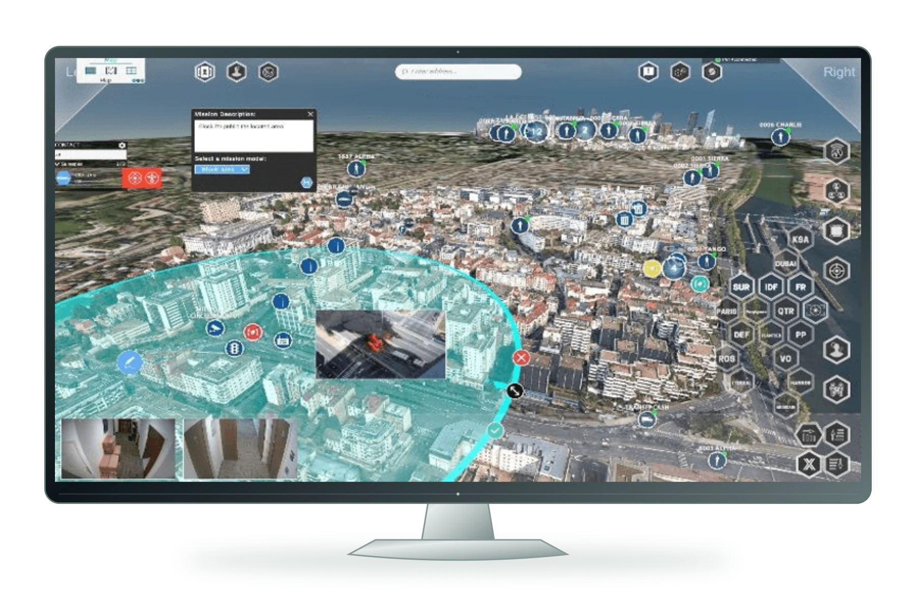
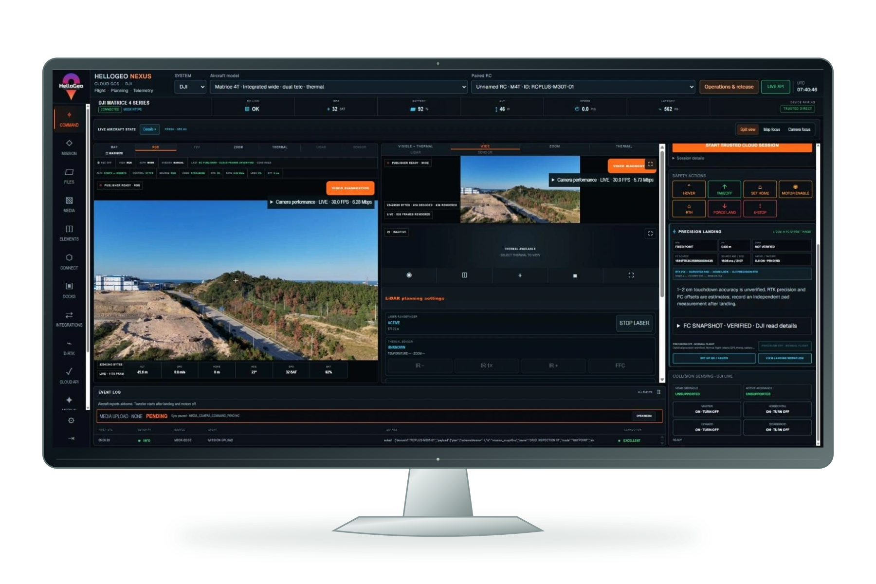
Original HelloGeo Nexus interface displayed on a freestanding screen
01

Command & autonomy

Plan the mission. Build the library. Manage the operation.

Explore capabilities
  • Structure planning
  • Mission library
  • Mission management

Plan façade, building, circular and survey missions with HelloGeo Nexus. Organise revisioned mission libraries, reuse routes and review connected operations.

View full product scope ↗
Plan · OperateBuild with it ↗
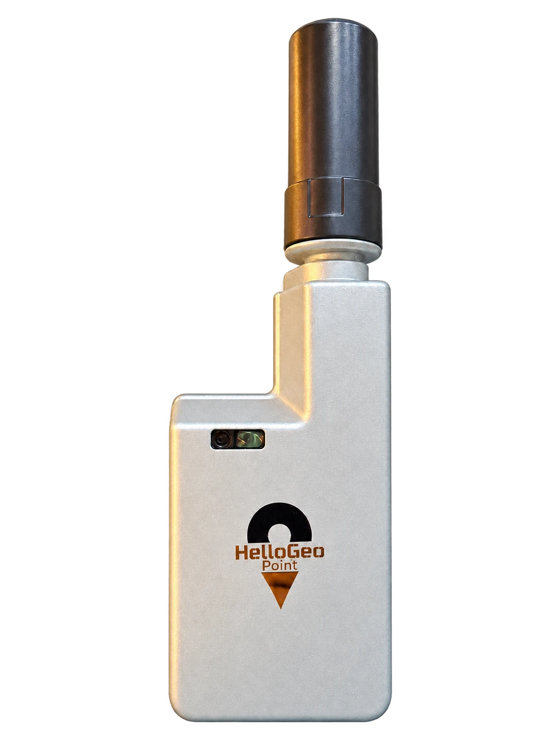
HelloGeo Point receiver and antenna, isolated from its original photograph on a transparent background
02

Field & survey

Precision starts where you stand.

Explore capabilities
  • Precision capture
  • Portable field kit
  • MetaSync connection

Put precision at the start of every project. Portable RTK GNSS hardware connects field observations with the wider HelloGeo ecosystem.

View full product scope ↗
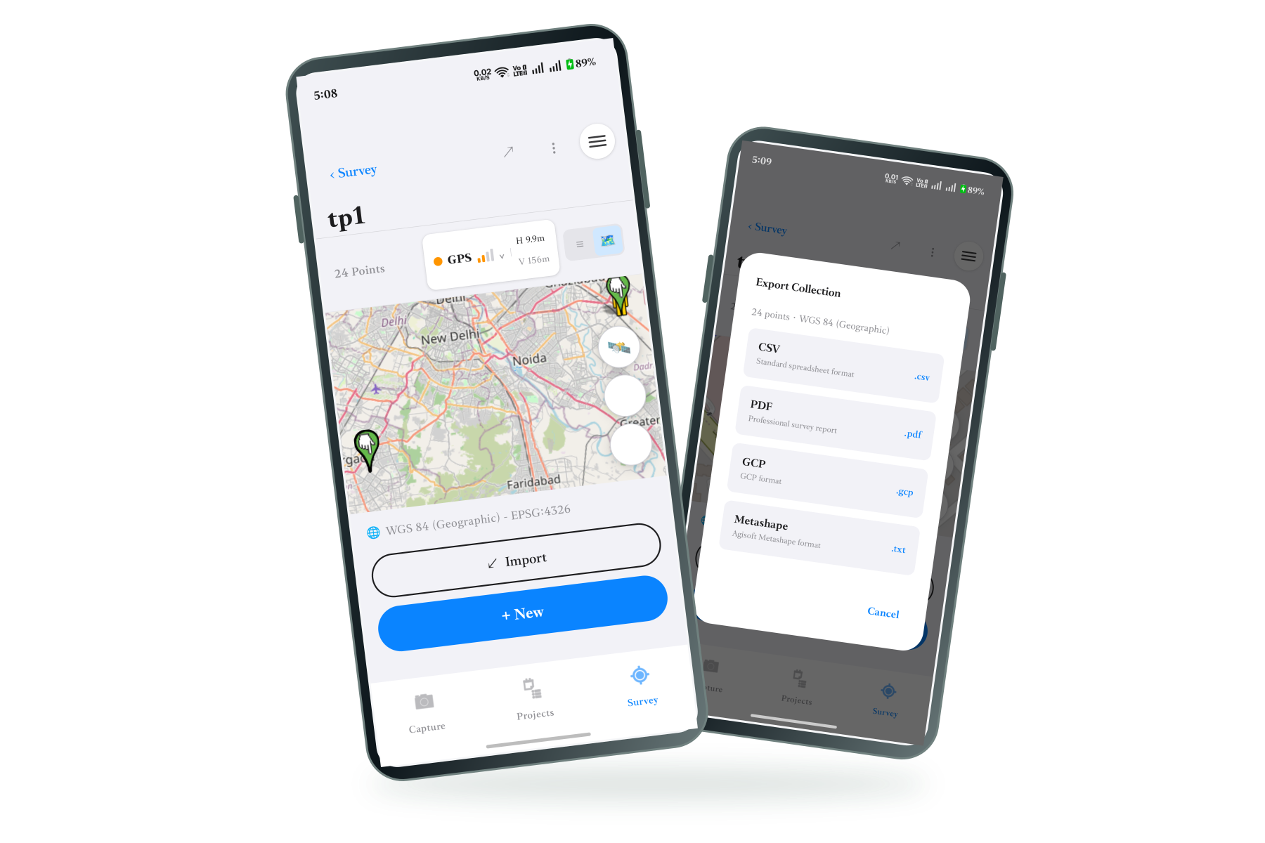
Original MetaSync survey map and collection export screens on two phones
03

Field & survey

From the field. Into your workflow.

Explore capabilities
  • RTK receiver & corrections
  • Field records & collections
  • Export & synchronisation

A mobile field-data application for GNSS and RTK point collection, ground control points, geotagged media and project synchronisation.

View full product scope ↗
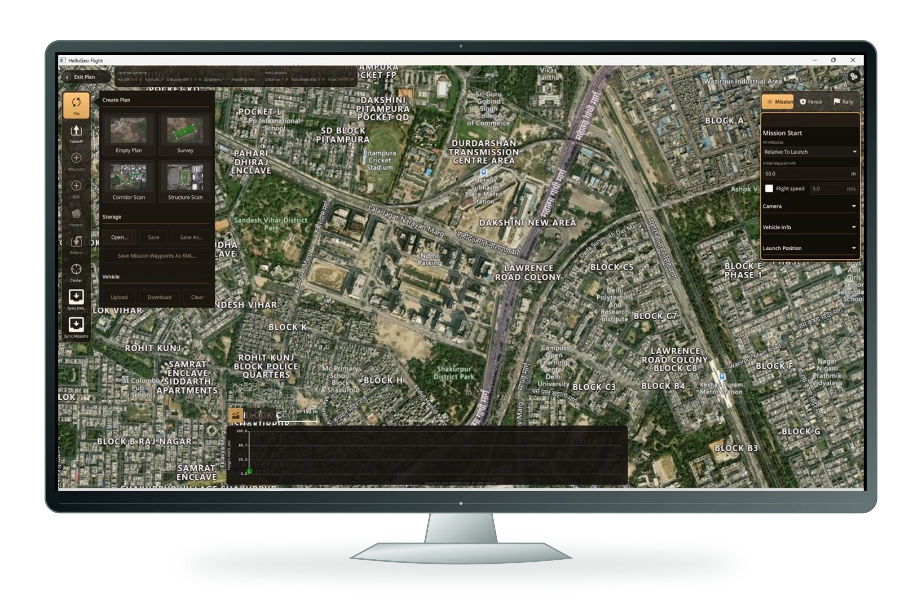
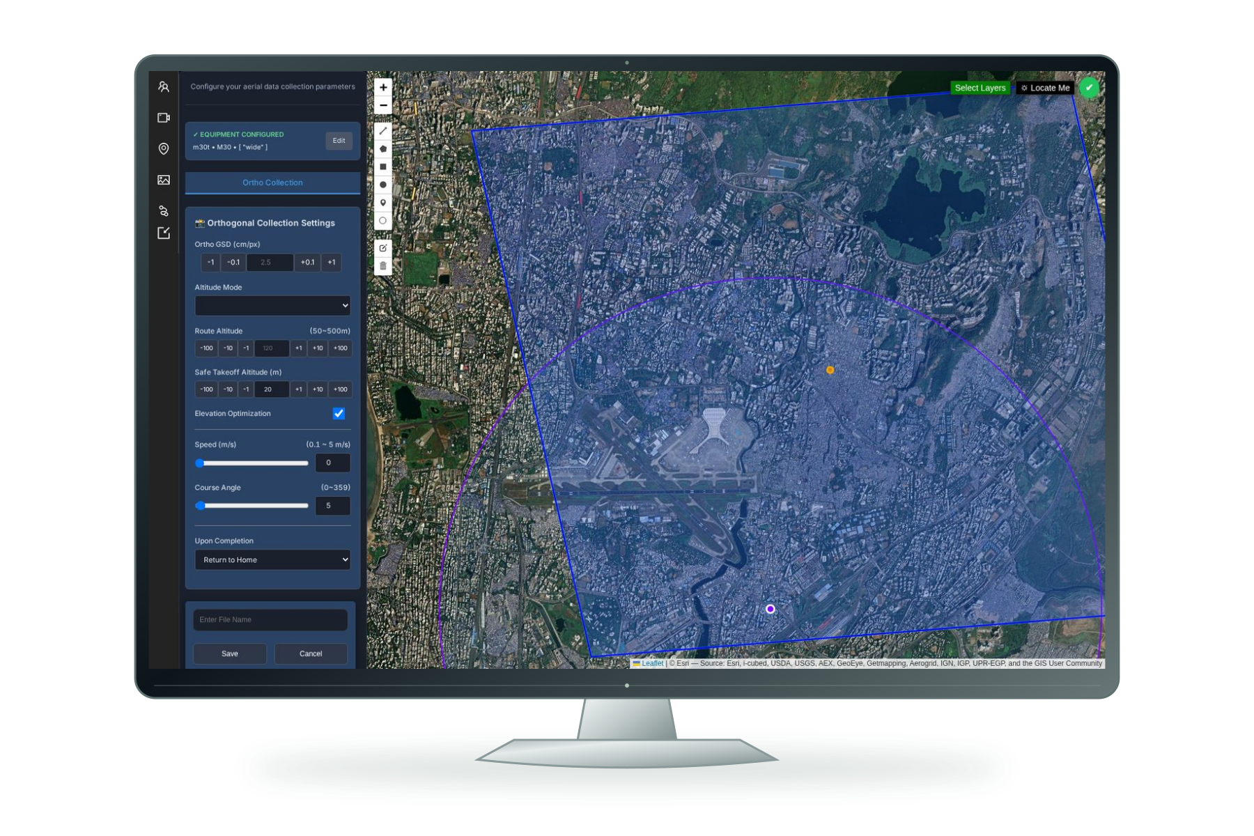
Original HelloGeo Flight mission planning interface on a freestanding screen
04

Command & autonomy

MAVLink operations. In the field.

Explore capabilities
  • ArduPilot & PX4
  • Mission & monitoring context

The published Android ground-control application for ArduPilot and PX4 workflows via MAVLink.

View full product scope ↗
Plan · OperateBuild with it ↗
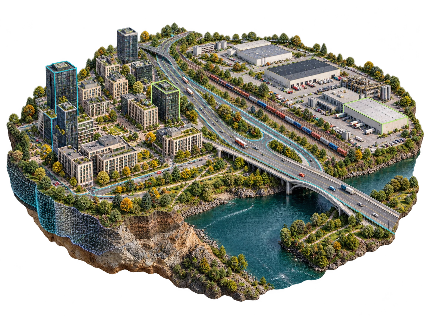
Continuum spatial concept with a detailed urban and industrial corridor, highway, railway, river and subtle digital twin overlays
05

Spatial intelligence

V5D · Evaluation preview

Explore capabilities
  • Explore a spatial scene
  • Examine scenarios
  • Keep evidence visible

Explore a spatial intelligence environment connecting place, time, scenarios, evidence and delivery.

View full product scope ↗
Visualise · AnalyseBuild with it ↗
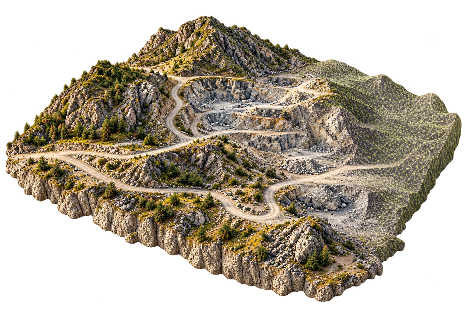
Photogrammetry terrain model with a textured surface and reconstruction mesh
06

Spatial intelligence

Engineering development

Explore capabilities
  • Reconstruction workflow
  • Quality evidence
  • Scale qualification

A photogrammetry engineering programme focused on transforming imagery into geospatial products within the HelloGeo ecosystem.

View full product scope ↗
Original HelloGeo Command Centre area-planning interface on a freestanding screen
07

Command & autonomy

One Operational Picture. Faster, More Confident Decisions.

Explore capabilities
  • Common Operational Picture
  • Multi-Domain Integration
  • Live Video and Sensor Fusion

HelloGeo Command Center is a secure, multi-domain operations platform that unifies GIS layers, autonomous assets, live video, sensor feeds, AI alerts, field teams and incident workflows within one command environment.

View full product scope ↗
Operate · AnalyseBuild with it ↗
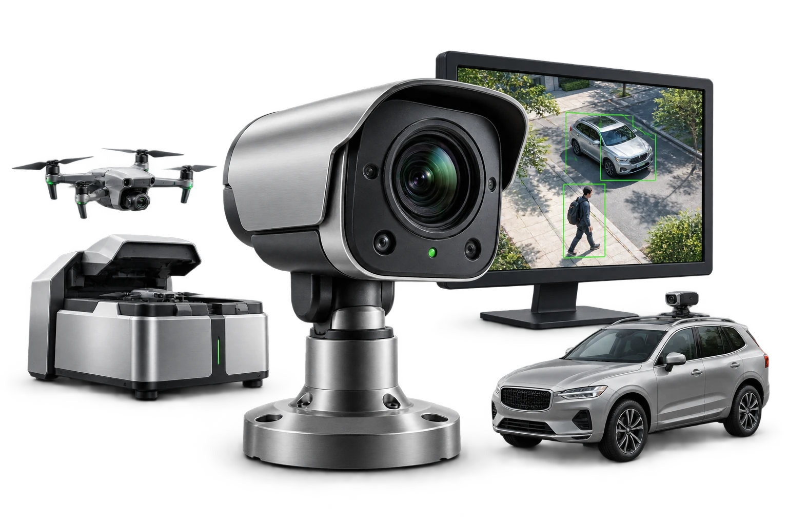
Illustrative AI Vision camera intelligence with an independent camera, detection screen, vehicle camera and drone station
23

Command & autonomy

See the event. Keep the evidence.

Explore capabilities
  • Camera detection
  • Evidence & reports
  • Train AI

Configure HelloGeo AI Vision for existing cameras, a parked vehicle camera kit or a Drone Station package. Explore detection, evidence reports and Train AI.

View full product scope ↗
Operate · AnalyseBuild with it ↗
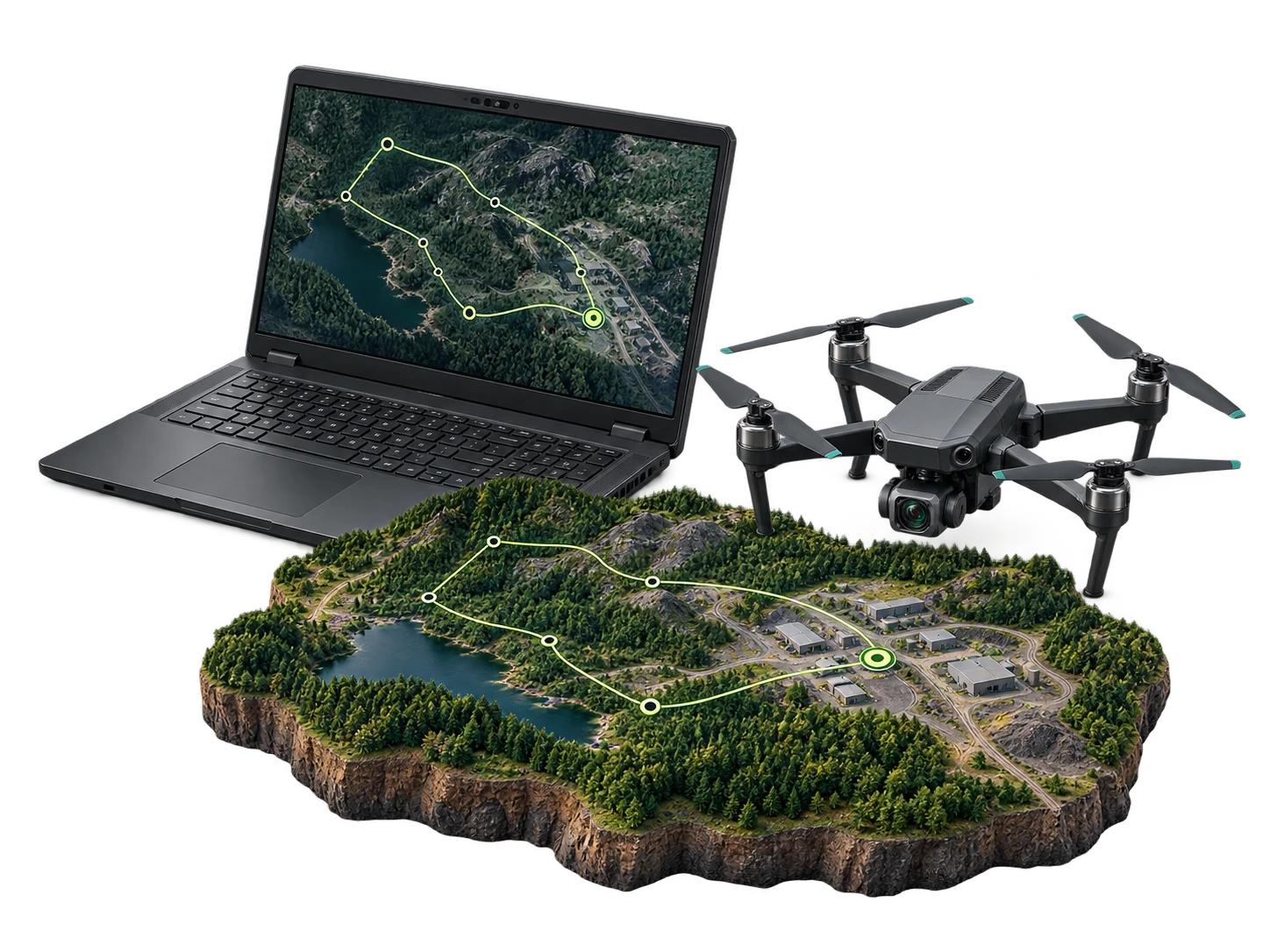
GCS concept with a field laptop, mapped mission route and enterprise camera drone
08

Command & autonomy

One Ground Control Platform. Every Mission.

Explore capabilities
  • Advanced Mission Planning
  • Multi-Platform UAV Support
  • Live Flight Monitoring

HelloGeo GCS Suite is a secure, multi-platform Ground Control System for planning, controlling, monitoring and documenting drone operations across individual aircraft, autonomous drone stations and distributed fleets.

View full product scope ↗
Plan · OperateBuild with it ↗
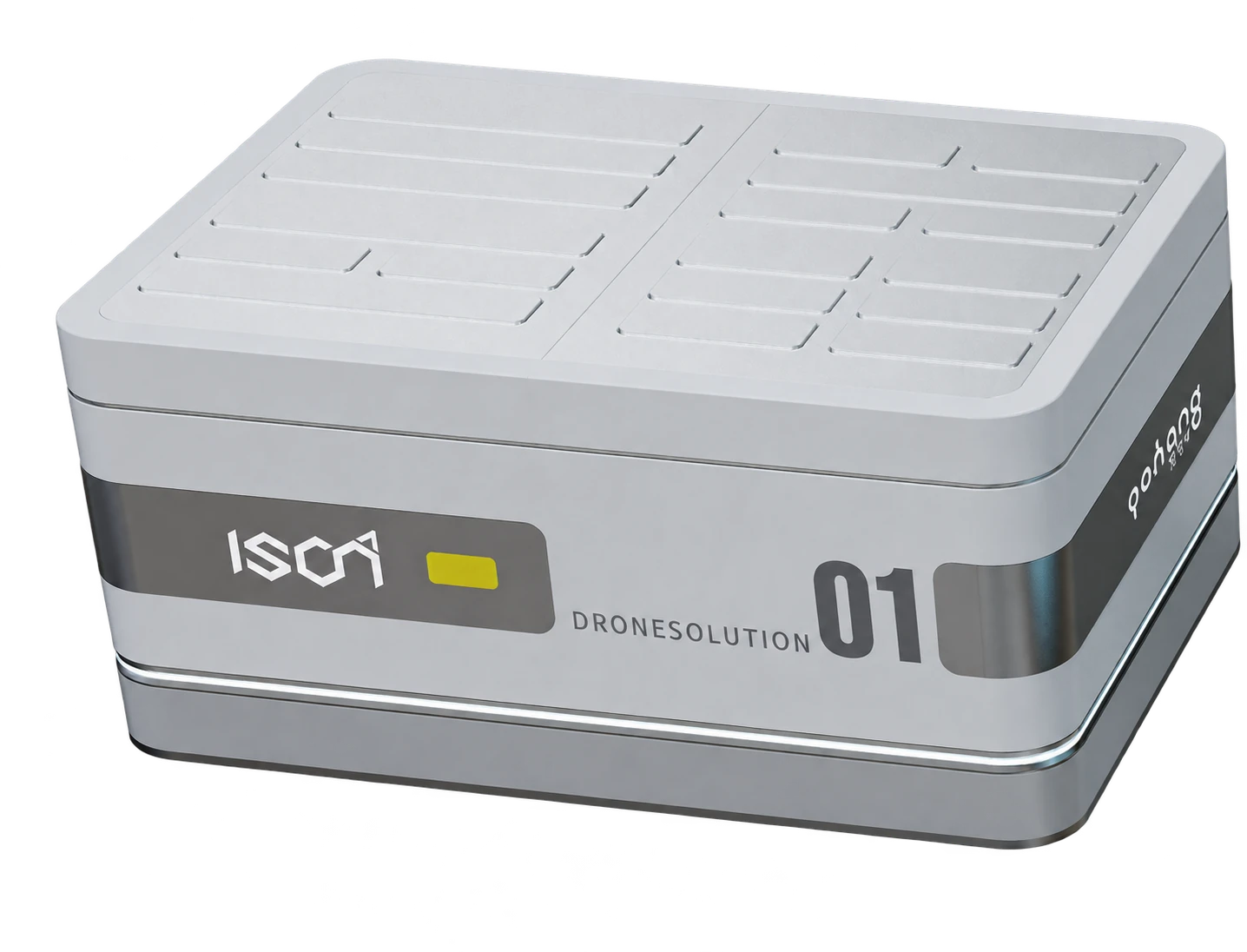
Drone Station closed view, transparent presentation derived from the supplied render
09

Command & autonomy

Persistent Aerial Intelligence. Without an On-Site Pilot.

Explore capabilities
  • Automated Launch and Recovery
  • Autonomous Mission Scheduling
  • Aircraft Charging and Readiness

HelloGeo Drone Station is an autonomous, remotely managed drone-infrastructure platform designed for repeatable inspections, surveillance, mapping and rapid-response missions.

View full product scope ↗
Capture · OperateBuild with it ↗
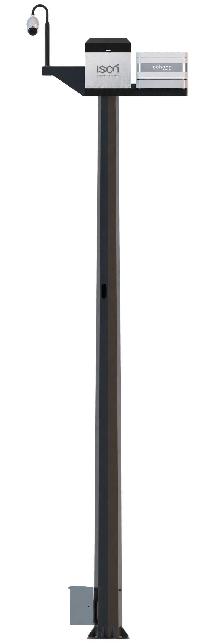
HelloGeo ArtPole product cutout with mounted equipment
10

Command & autonomy

One site. A clearer operational picture.

Explore capabilities
  • Camera and PTZ site context
  • Weather and sensor observations
  • Station and command workflow

A connected site-infrastructure platform bringing pole-mounted camera views, environmental observations and station context into the HelloGeo Control Centre workflow.

View full product scope ↗
Earlier catalogue reference — heritage software
  • High-Resolution 3D Documentation
  • Multispectral and Scientific Imaging
  • Condition Assessment and Monitoring

HelloGeo Artpole is a specialized geospatial and documentation platform designed for the preservation, conservation and management of cultural heritage assets, artworks and historical sites.

Capture · Operate · AnalyseBuild with it ↗
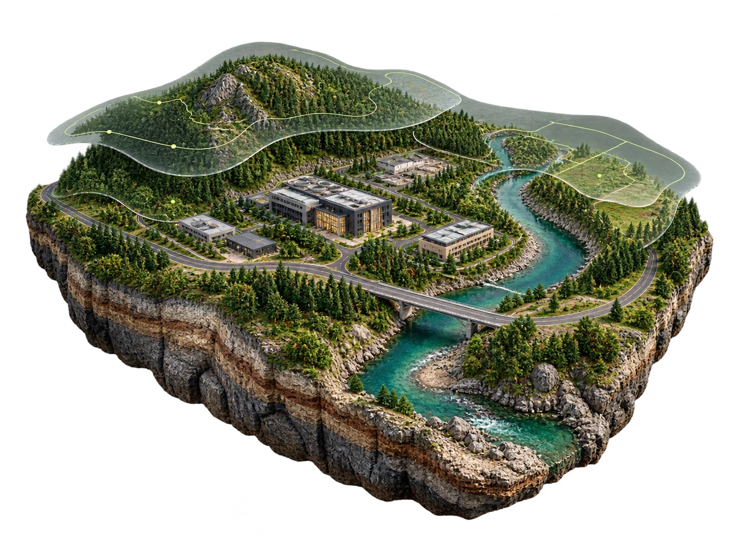
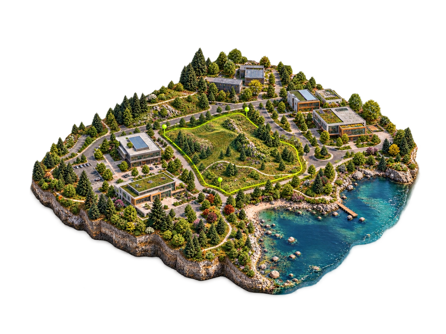
GIS concept with detailed river terrain, a campus and translucent spatial analysis overlays
11

Spatial intelligence

Aerial, LiDAR and satellite intelligence. Spectral analysis, terrain, mapping and GIS delivery.

Explore capabilities
  • Enterprise Spatial Data Management
  • Multi-Format Data Support
  • Common Integration Formats

HelloGeo GIS Suite is a secure, enterprise-grade geospatial platform for managing, visualizing, analysing and sharing spatial information across departments, projects and operational locations.

View full product scope ↗
Analyse · VisualiseBuild with it ↗
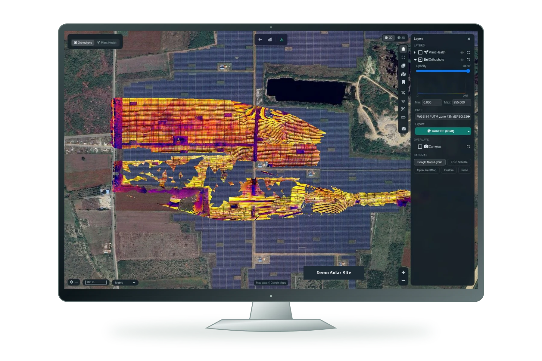
Original HelloGeo Suite analysis interface with solar-site orthophoto and map layers
12

Spatial intelligence

Transform Raw Geospatial Data into Actionable Intelligence

Explore capabilities
  • AI Classification & Object Detection
  • Semantic & Instance Segmentation
  • AI-Assisted Annotation & Labelling

Modern drones, satellites, LiDAR systems and connected sensors generate enormous volumes of spatial data. However, the true operational value of this data is realized only when objects, assets, terrain and anomalies can be accurately identified, classified and converted into decision-ready GIS layers.

View full product scope ↗
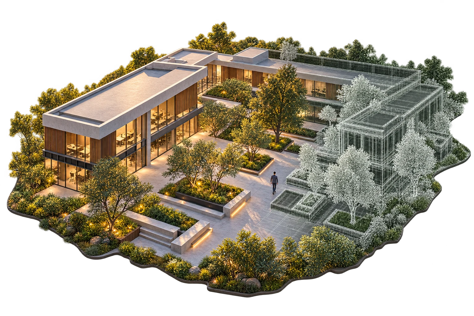
Campus digital twin model blending architecture and spatial wireframe
13

Spatial intelligence

Build, Simulate and Operate Intelligent Digital Twins

Explore capabilities
  • Digital Twin Creation
  • Immersive 3D Visualization
  • AR, VR & XR Support

HelloGeo Metaverse Suite is an enterprise spatial computing platform that transforms physical assets, infrastructure and environments into interactive, data-rich digital twins for immersive visualization, simulation and operational decision-making.

View full product scope ↗
Visualise · AnalyseBuild with it ↗
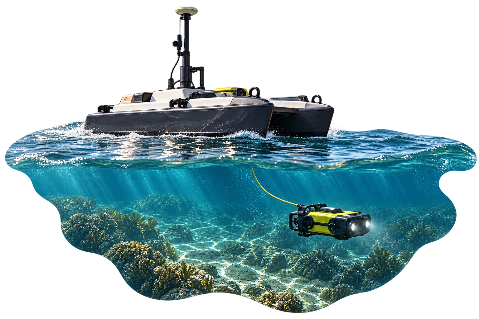
Connected marine observation with a survey boat and underwater ROV
14

Command & autonomy

Intelligence Above, Across and Below the Waterline

Explore capabilities
  • Unified Marine Command
  • Mission Planning and Navigation
  • Live Telemetry and Sensor Monitoring

HelloGeo Marine is an integrated maritime intelligence and autonomous-operations platform that connects marine vehicles, aerial drones, underwater systems, hydrographic sensors and spatial data within one secure operational environment.

View full product scope ↗
Plan · Capture · OperateBuild with it ↗
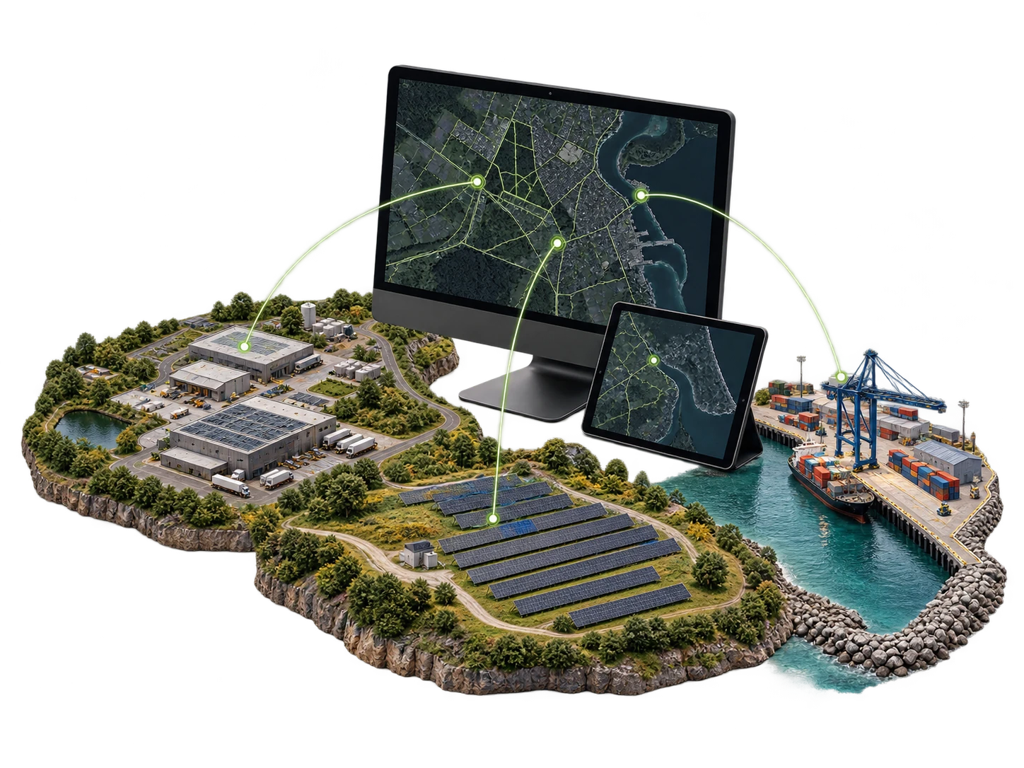
Remote operations concept with a map monitor and connected industrial, solar and port sites
15

Command & autonomy

Operate Every Mission. From Anywhere.

Explore capabilities
  • Remote Mission Planning
  • Live Operations Monitoring
  • Multi-Asset Management

HelloGeo Remote Application is a secure, web-enabled operations platform for remotely planning, monitoring and managing drones, autonomous stations, sensors and geospatial workflows from one unified interface.

View full product scope ↗
Operate · PlanBuild with it ↗
Three freestanding digital signage displays with coordinated visual content
16

Connected enterprise

Connect Every Screen. Control Every Location.

Explore capabilities
  • Centralized Screen Management
  • Real-Time Content Publishing
  • Smart Scheduling & Automation

HelloGeo Connect is a cloud-enabled digital signage and smart display management platform that enables organizations to publish, schedule and monitor multimedia content across one screen or an entire multi-location display network.

View full product scope ↗
Original HelloGeo project map interface on a freestanding screen
17

Command & autonomy

Multi-domain operational intelligence

Explore capabilities
  • Multi-Domain Mission Planning
  • Integrated Command and Control
  • Unmanned Systems Integration

HelloGeo Defence is a secure, mission-ready geospatial and autonomous-operations platform designed for defence, security and critical infrastructure protection.

View full product scope ↗
Plan · Operate · AnalyseBuild with it ↗
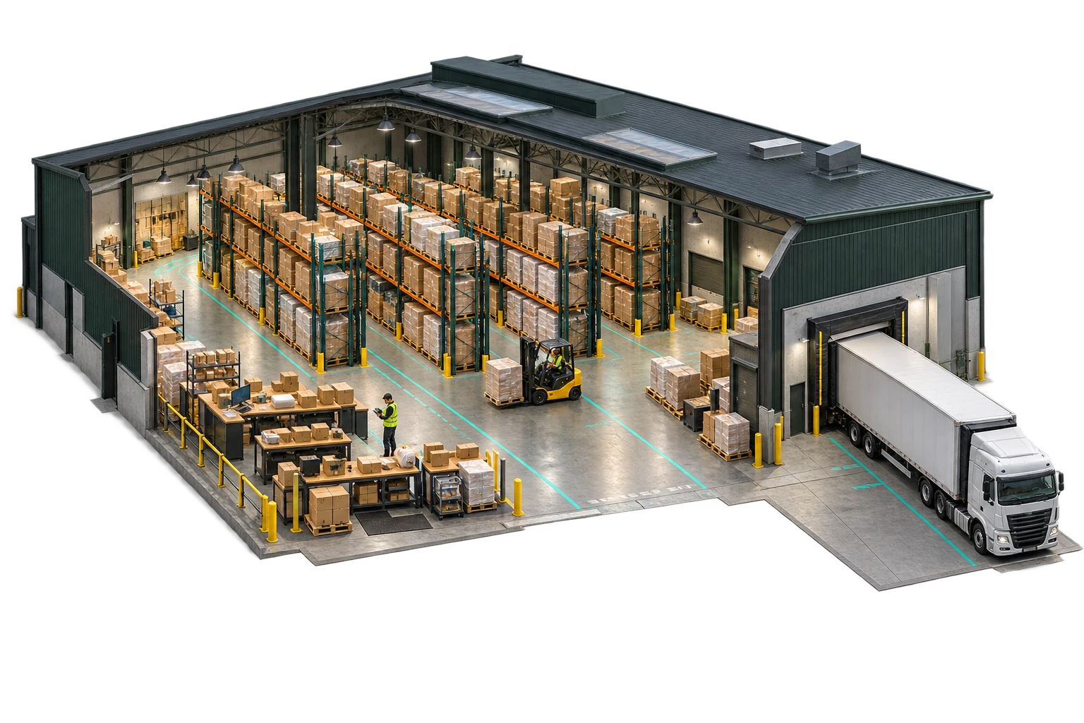
Warehouse cutaway with pallet racking, packing stations, a forklift, handheld scanning and a connected loading dock
19

Connected enterprise

Warehouse & operations

Explore capabilities
  • Warehouse operations
  • Logistics and workforce
  • Audit and reporting

Connect warehouse, logistics, workforce and audit operations in the HelloGeo enterprise ecosystem.

View full product scope ↗
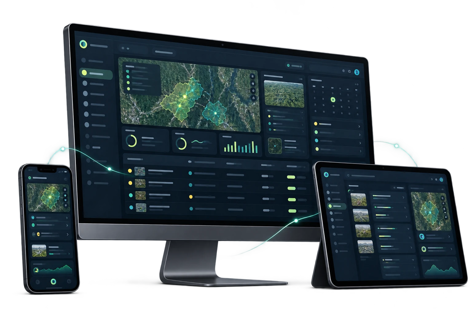
Connected operating workspace shown on desktop, tablet and phone
21

Connected enterprise

Operating platform

Explore capabilities
  • Existing workspace
  • Guided evaluation
  • Defined deployment

Explore the existing HelloGeo HIMS operating workspace with your authorised account.

View full product scope ↗
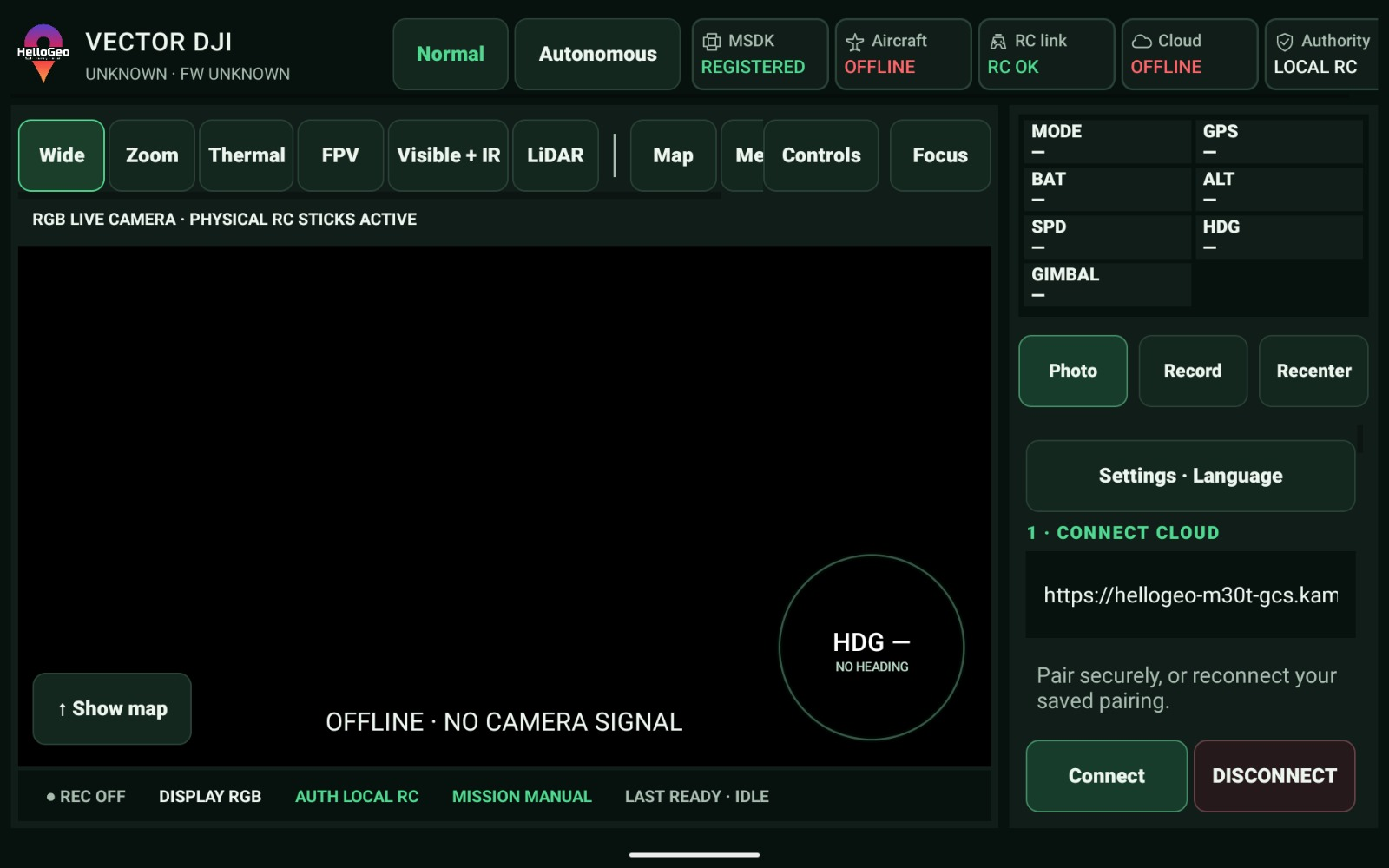
Original HelloGeo Vector DJI controller interface supplied on 18 October 2026, showing its captured offline state
22

Command & autonomy

The controller connection.

Explore capabilities
  • OEM-specific integration
  • Pilot authority
  • Nexus connection

Controller-side integration streams for DJI and Autel operations, connecting the field RC with the Nexus mission workspace.

View full product scope ↗

THE MAGIC IS IN THE COMBINATION

One product is a start.
A connected solution
is a new possibility.

Add the modules your project needs. Watch the workflow take shape and explore an editable business case in the Experience Zone.

Create your solution Explore air, land & water pathways ↗